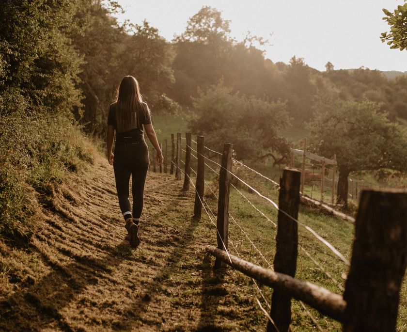
© Jeniska Photography

© Jeniska Photography

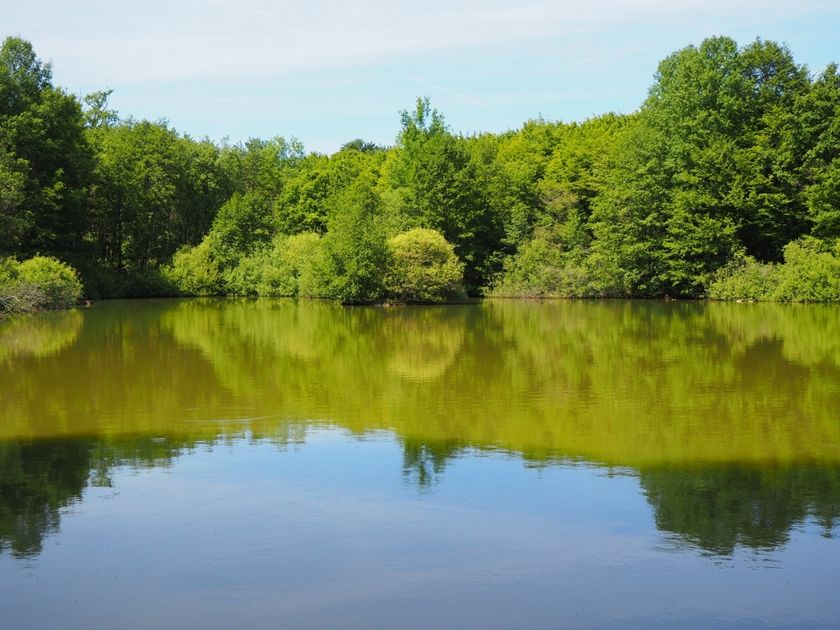
© Pancake! Photographie
Luxemburg Wandeltochten
Dirbach © Jeniska PhotographyWandelkaart
pdf | 5.60 MBDownload - Wandelkaart | pdf | 5.60 MBDeze uitklapbare kaart in vier talen (FR, EN, DE, NL) geeft een praktisch overzicht van de Luxemburgse top-wandelaanbiedingen en bevat naast geografische oriëntatie ook beknopte informatie in tekst en beeld.

Wandelroutes in Luxemburg
562 resultaten
- © Visit Éislek, Visit ÉislekRondwandelroutesSchilderachtig
Lokale wandelroute CL 1 - Kalborn
Afstand: 5,33 kmMeer informatie
Duur: 1:35 h
Moeilijkheidsgraad: makkelijk - © ORT SudRondwandelroutesKinderen & Gezin
Bosnatuurpad Crauthem
Afstand: 6,18 kmMeer informatie
Duur: 1:40 h
Moeilijkheidsgraad: makkelijk - © Visit LuxembourgRondwandelroutes
Rondwandelroute Dippach
Afstand: 7,91 kmMeer informatie
Duur: 2:05 h
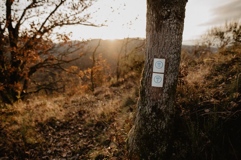
Moeilijkheidsgraad: medium - © Visit Éislek, Visit ÉislekRondwandelroutesSchilderachtig
Lokale wandelroute GO 2 - Goesdorf
Afstand: 7,72 kmMeer informatie
Duur: 2:20 h
Moeilijkheidsgraad: medium - © ORT SudRondwandelroutesKinderen & Gezin
Auto-Pédestre Rondwandelroute Rodange
Afstand: 7,31 kmMeer informatie
Duur: 2:10 h
Moeilijkheidsgraad: medium - © Pulsa Pictures, ORT SUDMinett Trail
Minett Trail: Bergem/Beim Nëssert - Gare Bettembourg
Afstand: 11,69 kmMeer informatie
Duur: 3:05 h
Moeilijkheidsgraad: medium - © Pulsa Pictures, Pulsa Pictures & ORT SudThematische routes
Dumontshaff-natuurpad
Afstand: 4,84 kmMeer informatie
Duur: 1:10 h
Moeilijkheidsgraad: makkelijk - © Jeniska Photography, Visit GuttlandGuttland.TrailsSchilderachtig Hondvriendelijk
Guttland.Trail Raschpëtzer
Afstand: 5,87 kmMeer informatie
Duur: 1:50 h
Moeilijkheidsgraad: moeilijk - © Visit Éislek, Visit ÉislekRondwandelroutesSchilderachtig
Lokale wandelroute BL 5 - Baschleiden
Afstand: 9,26 kmMeer informatie
Duur: 2:40 h
Moeilijkheidsgraad: medium - © Visit Éislek, Visit ÉislekRondwandelroutesSchilderachtig
Lokale wandelroute FE 1 - Niederfeulen
Afstand: 9,47 kmMeer informatie
Duur: 2:35 h
Moeilijkheidsgraad: medium