© Pulsa Pictures, Pulsa Pictures & ORT Sud
Minett Germany France

Dumontshaff-natuurpad

Jachtseizoen 2024/25 - Controleer de jachtgebieden voordat u op pad gaat

Het jachtseizoen begint midden oktober. Tot januari/februari worden in het hele land jachten georganiseerd. Controleer de locatie voordat je op wandeling gaat. Zie onze kaart voor alle details.

Klik op de kaart boven aan de pagina > meer > Services > Drijfjachten

Vertrekpunt
Chemin de Bergem, 4149 Schifflange
Bestemming
Chemin de Bergem, 4149 Schifflange
Route
4,84 km
Duur
1:10 h
moeilijkheid
makkelijk
  • Voorwaarde
Hoogste punt
292 Hm
Laagste punt
273 Hm
Beklimming
12 Hm
Herkomst
12 Hm
Thematische routes Visit Luxembourg

Beschrijving

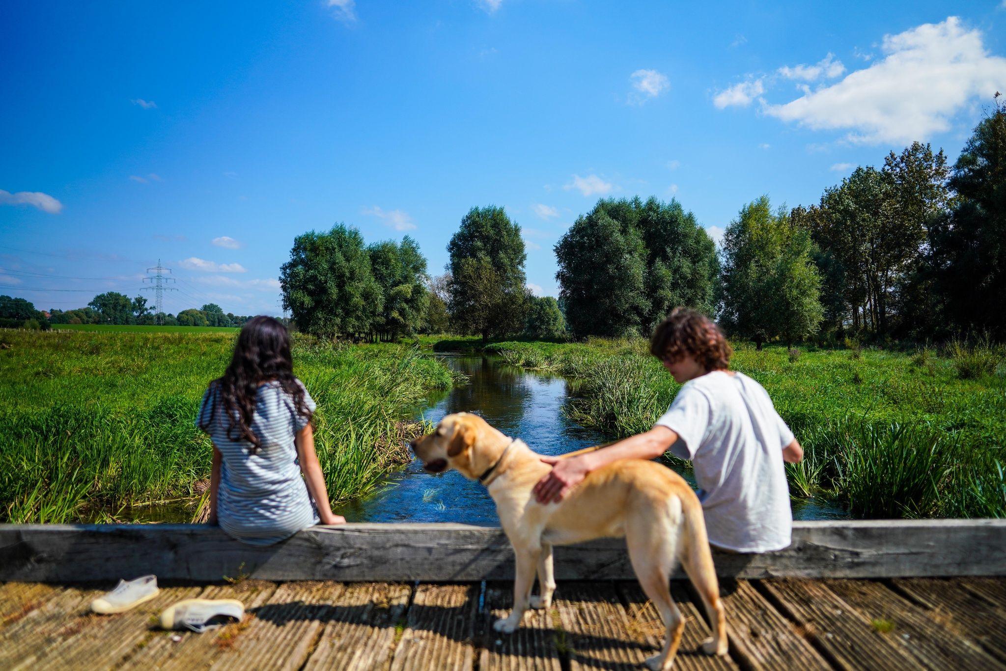
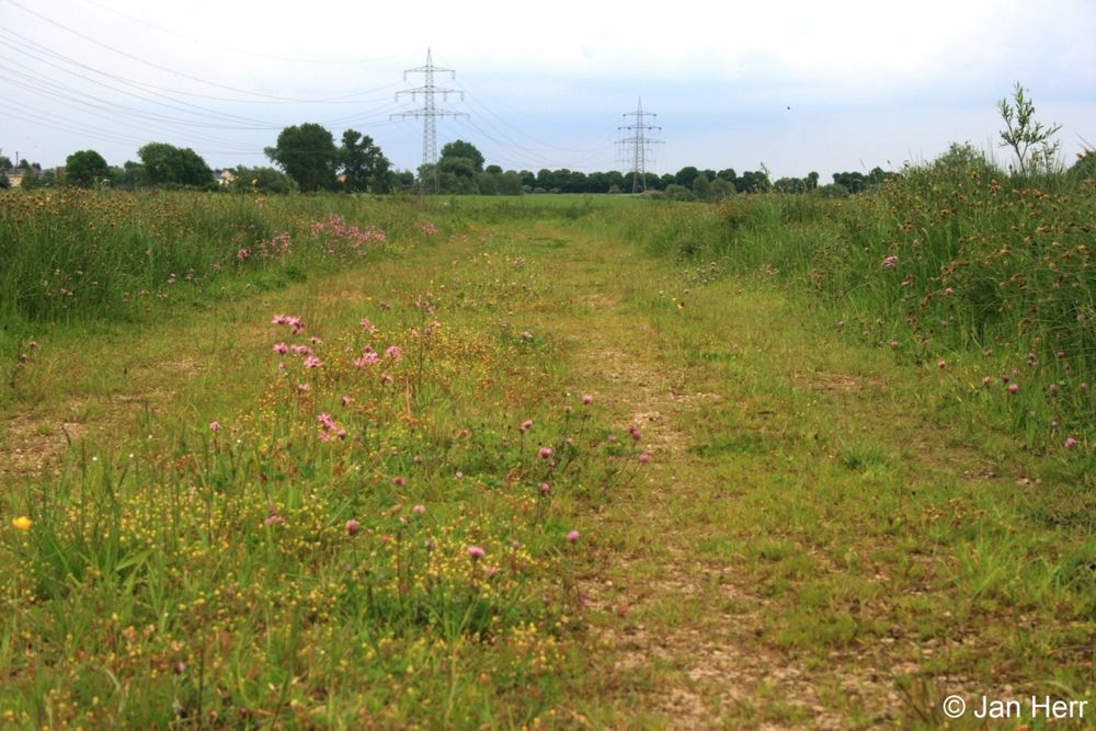
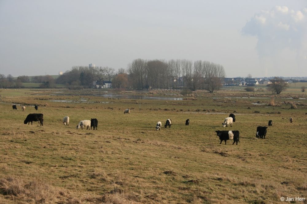
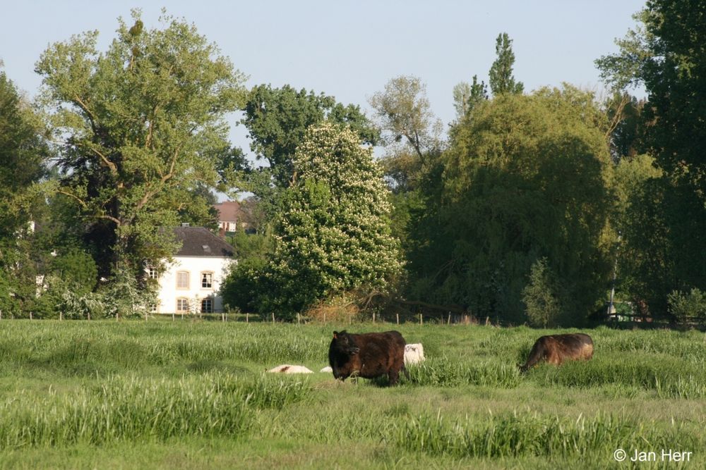
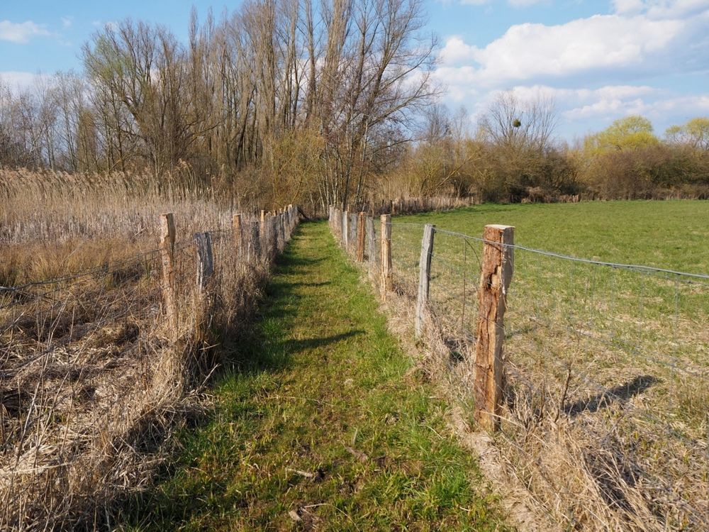
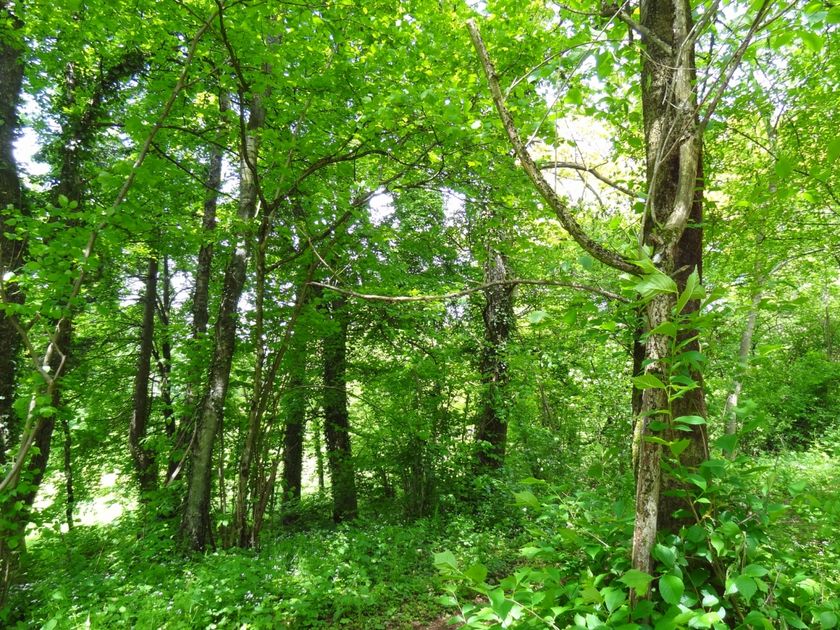
Ontdek de Alzette-vallei op een educatieve wandelroute door een natuurgebied.

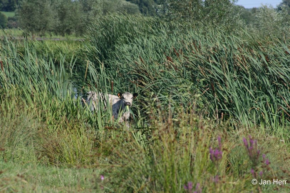
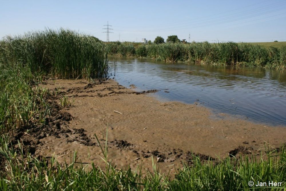
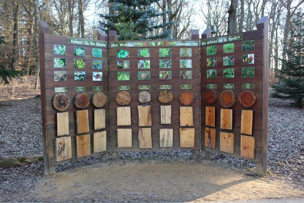
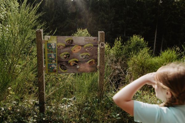
Dit circuit nodigt het hele gezin uit om de Alzette-vallei te ontdekken op een natuurpad dat je veel zal leren. In plaats van wetenschappelijke leerboeken en lezingen functioneert de hele natuur hier als een waar laboratorium. Daar leer je alles over overstromingen en ontmoet je tal van beschermde vogelsoorten waarvan het beschermde gebied deel uitmaakt van het Europese netwerk Natura 2000. Ook het spectaculaire resultaat van de renaturatie van de waterloop zal u verbazen!

Hoogtepunten langs de tocht

Dumontshaff-natuurpad

  • Natuurgebied "Brill"
    Natuurgebied "Brill"
    Meer informatie
  • Natuurgebied "Dumontshaff"
    Ontdek de Alzette-vallei
    Meer informatie
  • © Daniel Schane
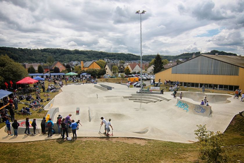
    Red Rock Skatepark
    Schaatsen tot het ochtendgloren
    Meer informatie

Vergelijkbare wandeltochten

© Visit Guttland, Visit Guttland
Thematische routes
Thematische wandelroute Mertzig
Afstand: 4,00 km
Duur: 1:05 h
Moeilijkheidsgraad: makkelijk
Meer informatie
© Onbekende
Thematische routes
Wiichtelcherswee Useldeng
Afstand: 2,45 km
Duur: 0:40 h
Moeilijkheidsgraad: makkelijk
Meer informatie
© Michelle Bingen, Visit Moselle
Rondwandelroutes
Burmerange - De grénge Wee
Afstand: 6,87 km
Duur: 1:45 h
Moeilijkheidsgraad: makkelijk
Meer informatie
© Visit Luxembourg
Rondwandelroutes
Lokale wandelroute - E9
Afstand: 6,32 km
Duur: 1:43 h
Moeilijkheidsgraad: makkelijk
Meer informatie
© Visit Luxembourg
Rondwandelroutes
Rondwandelroute Eischen II
Afstand: 5,21 km
Duur: 1:34 h
Moeilijkheidsgraad: makkelijk
Meer informatie
© Pulsa Pictures, Pulsa Pictures_ORT Sud
Minett Trail
Minett Trail: Tétange Gare - Rumelange Gare
Afstand: 7,73 km
Duur: 2:15 h
Moeilijkheidsgraad: makkelijk
Meer informatie
© Visit Luxembourg
Rondwandelroutes
Auto-Pédestre wandelroute Tadler
Afstand: 4,57 km
Duur: 1:30 h
Moeilijkheidsgraad: makkelijk
Meer informatie
© Visit Luxembourg
Rondwandelroutes
Auto-Pédestre wandelroute Büderscheid
Afstand: 4,64 km
Duur: 1:20 h
Moeilijkheidsgraad: makkelijk
Meer informatie
© Fränk Weber, Studio Frank Weber
Rondwandelroutes
Auto-Pédestre wandelroute Bourscheid
Afstand: 5,88 km
Duur: 2:00 h
Moeilijkheidsgraad: makkelijk
Meer informatie