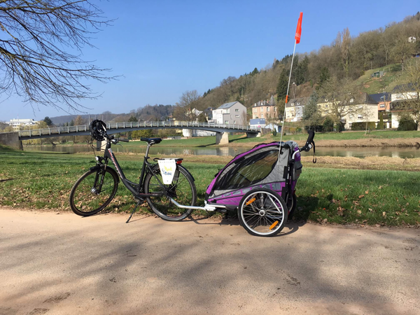
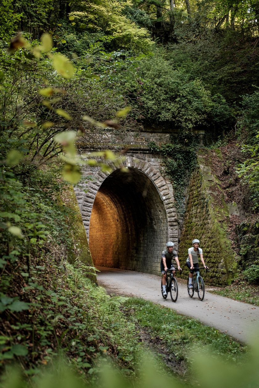
Bourscheid © Alfonso Salgueiro

© Alfonso Salgueiro
Luxemburg Fietsen
Fietskaart
pdf | 8.63 MBDownload - Fietskaart | pdf | 8.63 MBDeze viertalige vouwkaart (FR, EN, DE, NL) biedt een praktisch overzicht van de Luxemburgse topfietsaanbiedingen en bevat naast geografische oriëntatie ook beknopte informatie in tekst en beeld.
110 resultaten
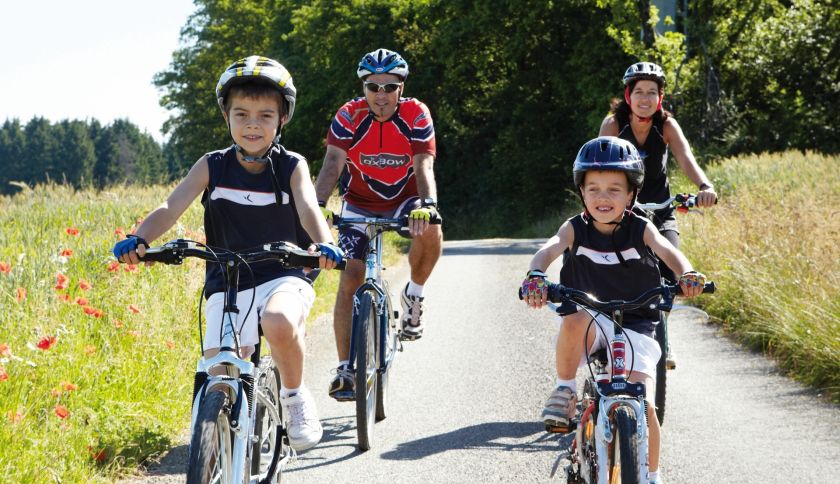
- © Anouk Flesch, Visit LuxembourgFietstochtenKinderen & Gezin Schilderachtig
Slow Cycling Guttland - Verken de laantjes
Afstand: 47,14 kmMeer informatie
Duur: 3:45 h
Moeilijkheidsgraad: medium - © Pulsa Pictures, ORT SudMountain bike
RedRock MTB Trail - „Haard Red"
Afstand: 24,64 kmMeer informatie
Duur: 2:55 h
Moeilijkheidsgraad: medium - © Sophie Margue, Visit LuxembourgFietstochtenInsider tip Kinderen & Gezin Schilderachtig
Slow Cycling - Pedal and Flow (inkl. Romeins mozaïek)
Afstand: 19,35 kmMeer informatie
Duur: 2:00 h
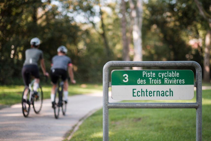
Moeilijkheidsgraad: makkelijk - © ORT MPSL/Pancake! Photographie, ORT MPSL/Pancake! Photographie
Fietsroute des Trois Rivières (PC3)
Afstand: 90,27 kmMeer informatie
Duur: 7:00 h
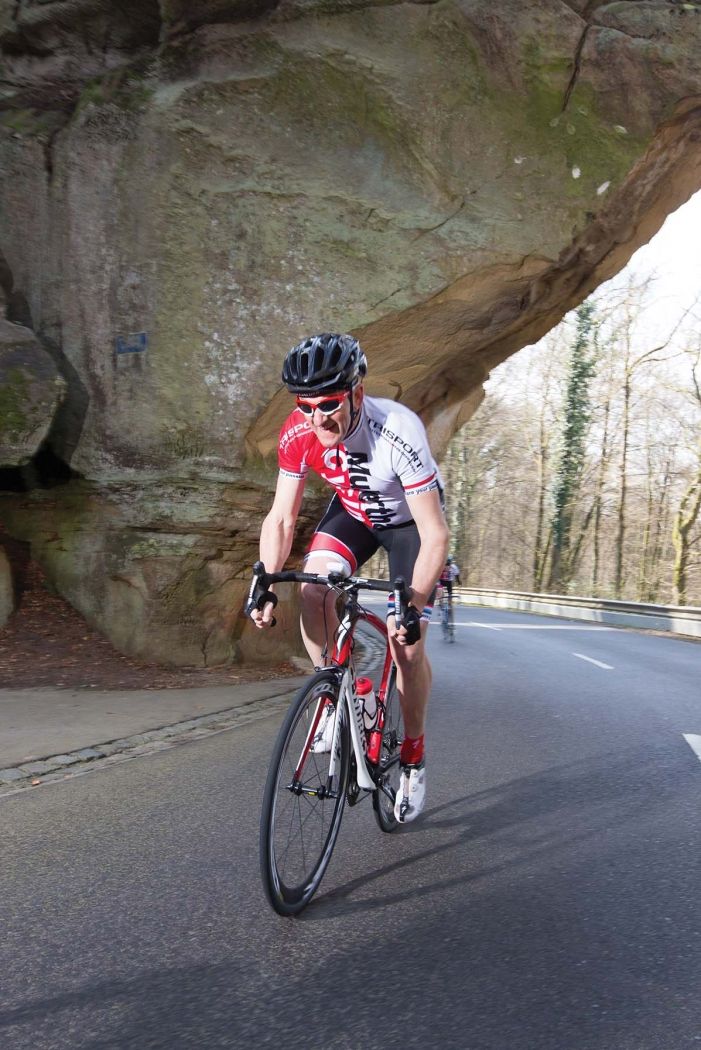
Moeilijkheidsgraad: medium - © Mullerthal Cycling / Lutz, Visit LuxembourgRacefiets tochten
S1 Highlight tocht
Afstand: 73,90 kmMeer informatie
Duur: 4:50 h
Moeilijkheidsgraad: medium - © Visit Luxembourg
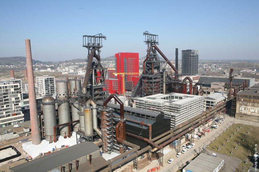
Route F: VéloExpress Belval-Luxemburg
Afstand: 28,09 kmMeer informatie
Duur: 2:20 h
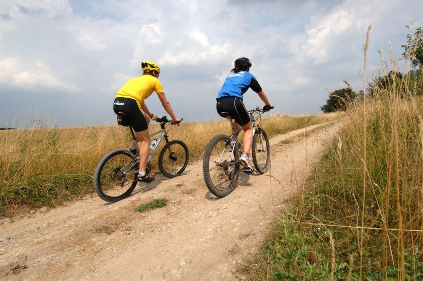
Moeilijkheidsgraad: makkelijk - © Visit MoselleMountain bike
Mountainbike Trail Dalheim
Afstand: 23,23 kmMeer informatie
Duur: 2:05 h
Moeilijkheidsgraad: medium - © LFTSchilderachtig
Fietsroute des Ardoisières: Heiderscheid (PC 18)
Afstand: 4,27 kmMeer informatie
Duur: 1:10 h
Moeilijkheidsgraad: makkelijk - © ORT MPSL/Pancake!, Visit LuxembourgFietstochten
Fietstour "VeloRoute SaarLorLux"
Afstand: 496,14 kmMeer informatie
Duur: 36:59 h
Moeilijkheidsgraad: medium - © Pulsa Pictures, ORT SUDMountain bike
RedRock MTB Trail - "Belvaux-Differdange"
Afstand: 27,72 kmMeer informatie
Duur: 3:25 h
Moeilijkheidsgraad: medium
Op zoek naar fiets stations?
74 resultaten