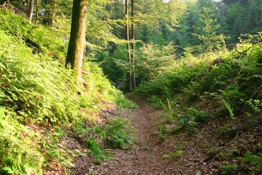
Mullerthal © Pancake! Photographie

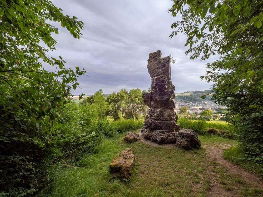
Éislek © Jochem de Jong
Luxemburg Wandeltochten
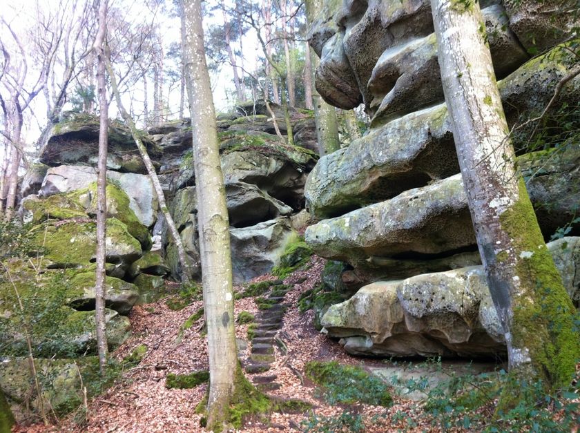
Dirbach © Jeniska PhotographyWandelkaart
pdf | 5.60 MBDownload - Wandelkaart | pdf | 5.60 MBDeze uitklapbare kaart in vier talen (FR, EN, DE, NL) geeft een praktisch overzicht van de Luxemburgse top-wandelaanbiedingen en bevat naast geografische oriëntatie ook beknopte informatie in tekst en beeld.

Wandelroutes in Luxemburg
562 resultaten
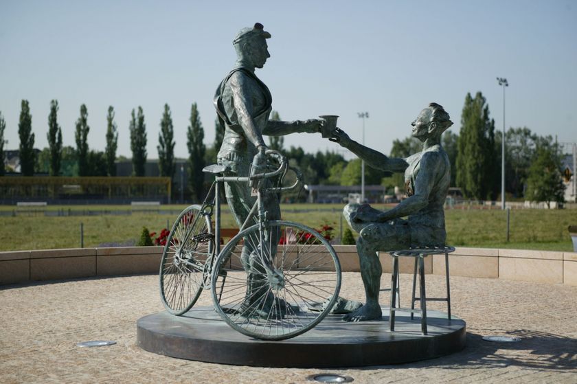
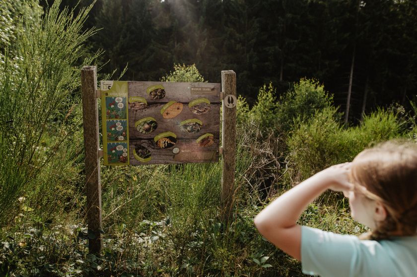
- © Visit LuxembourgRondwandelroutes
Rondwandelroute Mamer
Afstand: 6,52 kmMeer informatie
Duur: 1:40 h
Moeilijkheidsgraad: medium - © Jeannot Weber, Visit GuttlandRondwandelroutes
Rondwandelroute Buschdorf
Afstand: 7,69 kmMeer informatie
Duur: 2:20 h
Moeilijkheidsgraad: medium - © Visit Éislek, Visit ÉislekRondwandelroutesSchilderachtig
Lokale wandelroute ES 3 - Dirbach
Afstand: 5,51 kmMeer informatie
Duur: 2:00 h
Moeilijkheidsgraad: medium - © D. Ketz, Eifel Tourismus GmbH, D. KetzNaturWanderPark DeluxSchilderachtig
NatuurWandelPark delux: Felsenweg 2 (D-Bollendorf/L-Beaufort)
Afstand: 20,29 kmMeer informatie
Duur: 6:00 h
Moeilijkheidsgraad: moeilijk - © Visit LuxembourgThematische routes
Well-Being Trail - Nommern
Afstand: 4,35 kmMeer informatie
Duur: 1:22 h
Moeilijkheidsgraad: medium - © Visit LuxembourgThematische routesKinderen & Gezin
Donkey Challenge Haard
Afstand: 3,90 kmMeer informatie
Duur: 1:15 h - © Jemp Origer, Visit LuxembourgRondwandelroutes
Lokale wandelroute - C3
Afstand: 6,66 kmMeer informatie
Duur: 1:48 h
Moeilijkheidsgraad: medium - © Visit LuxembourgRondwandelroutes
Rondwandelroute Ellange
Afstand: 9,53 kmMeer informatie
Duur: 2:33 h
Moeilijkheidsgraad: makkelijk - © Visit Éislek, Visit ÉislekRondwandelroutesSchilderachtig
Lokale wandelroute KI 2 - Kautenbach
Afstand: 6,74 kmMeer informatie
Duur: 2:05 h
Moeilijkheidsgraad: makkelijk - © Visit LuxembourgThematische routesKinderen & Gezin Schilderachtig
Natuurpad Cactusbësch
Afstand: 6,09 kmMeer informatie
Duur: 1:50 h
Moeilijkheidsgraad: makkelijk