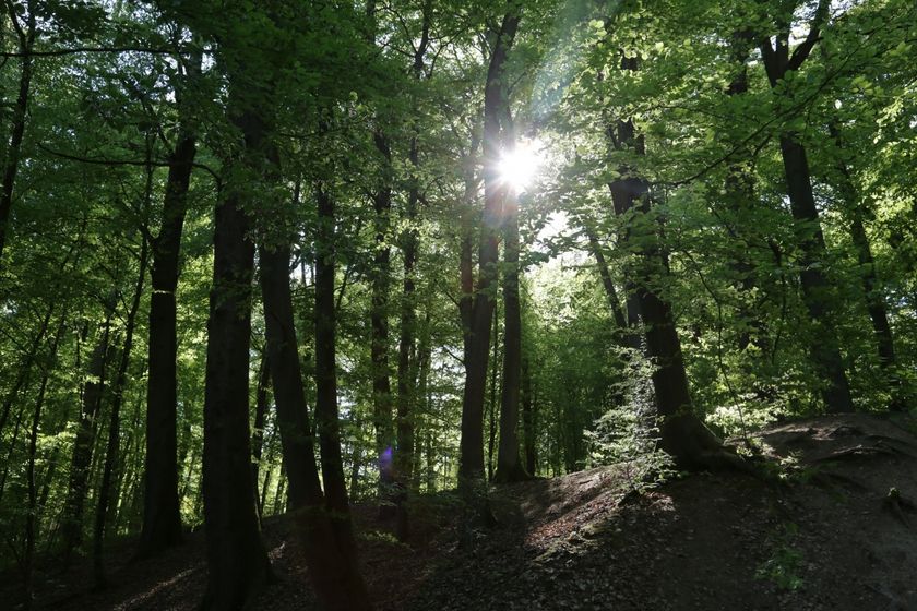
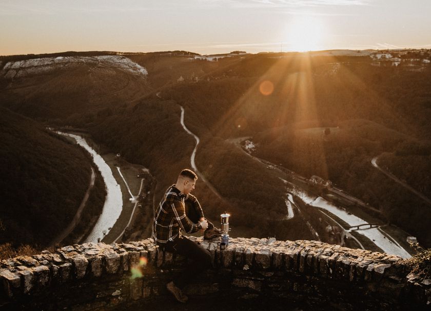
Mullerthal © Pancake! Photographie

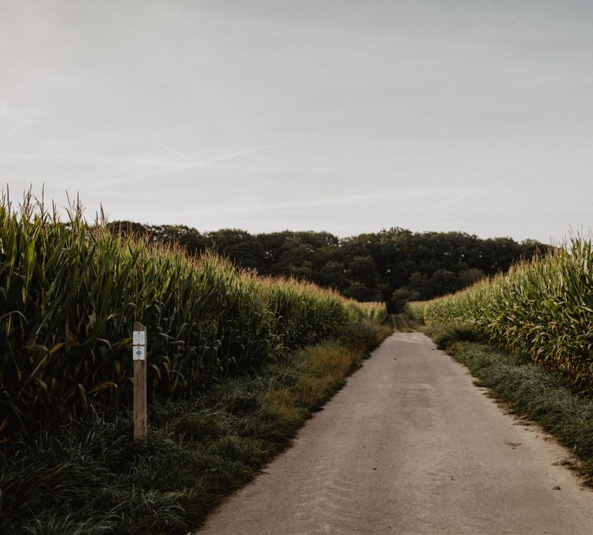
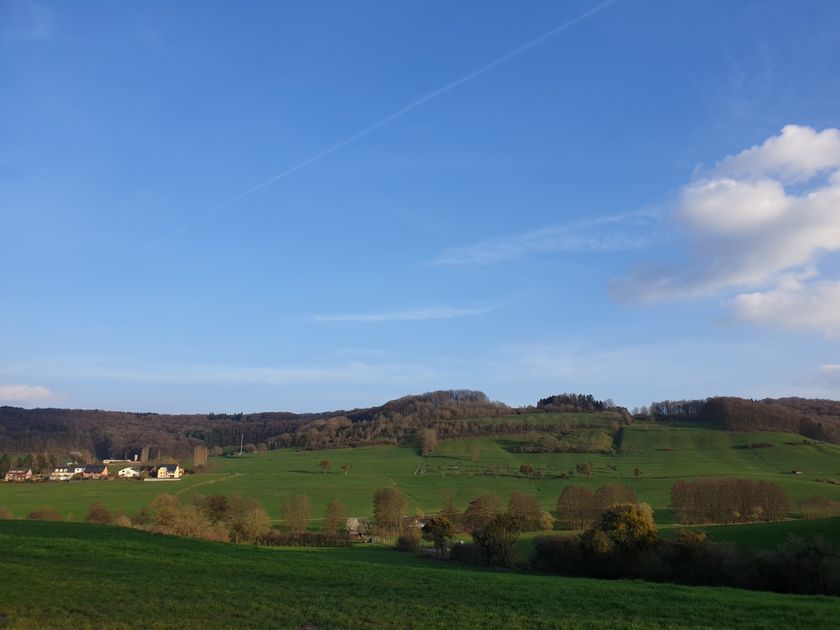
Éislek © Jochem de Jong
Luxemburg Wandeltochten
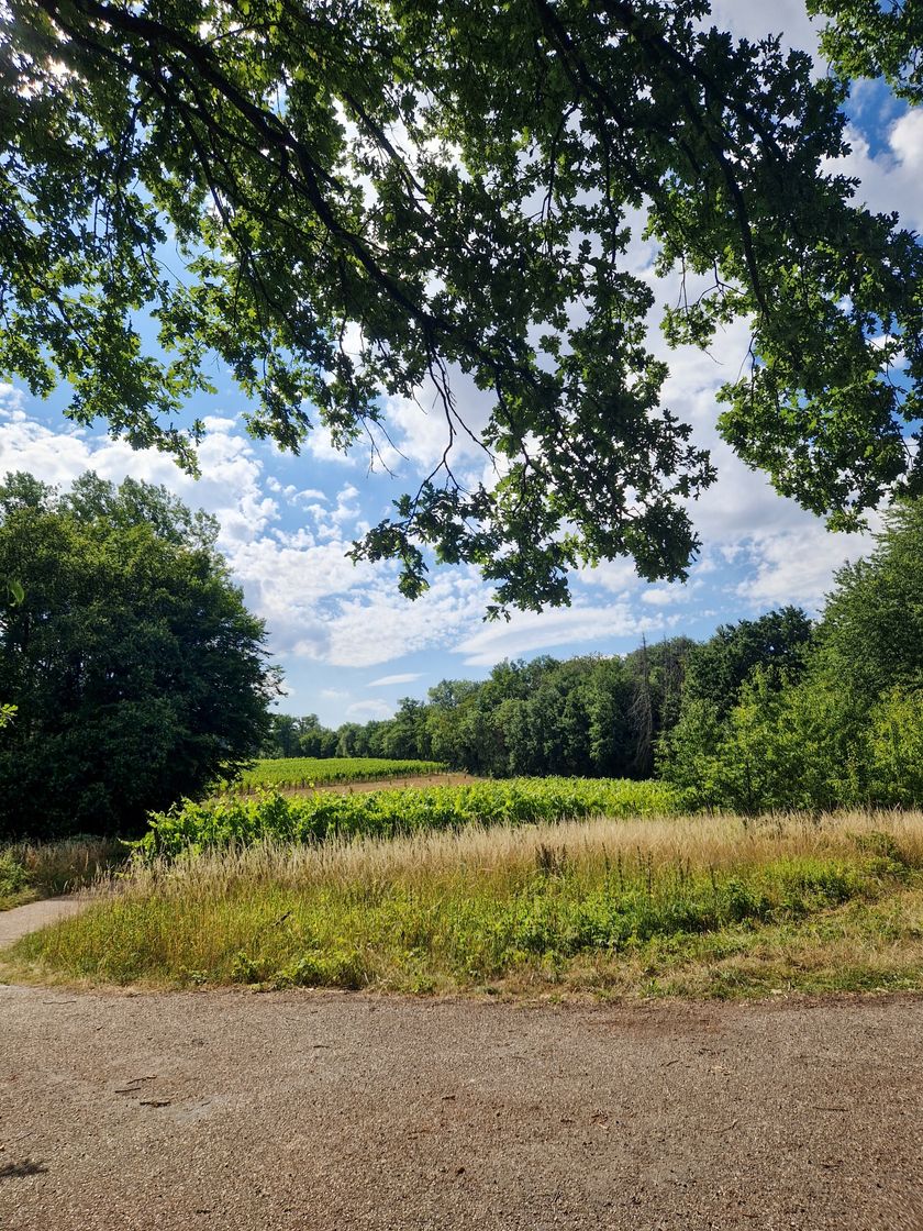
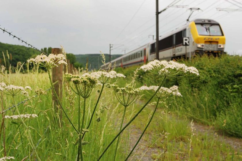
Dirbach © Jeniska PhotographyWandelkaart
pdf | 5.60 MBDownload - Wandelkaart | pdf | 5.60 MBDeze uitklapbare kaart in vier talen (FR, EN, DE, NL) geeft een praktisch overzicht van de Luxemburgse top-wandelaanbiedingen en bevat naast geografische oriëntatie ook beknopte informatie in tekst en beeld.

Wandelroutes in Luxemburg
562 resultaten
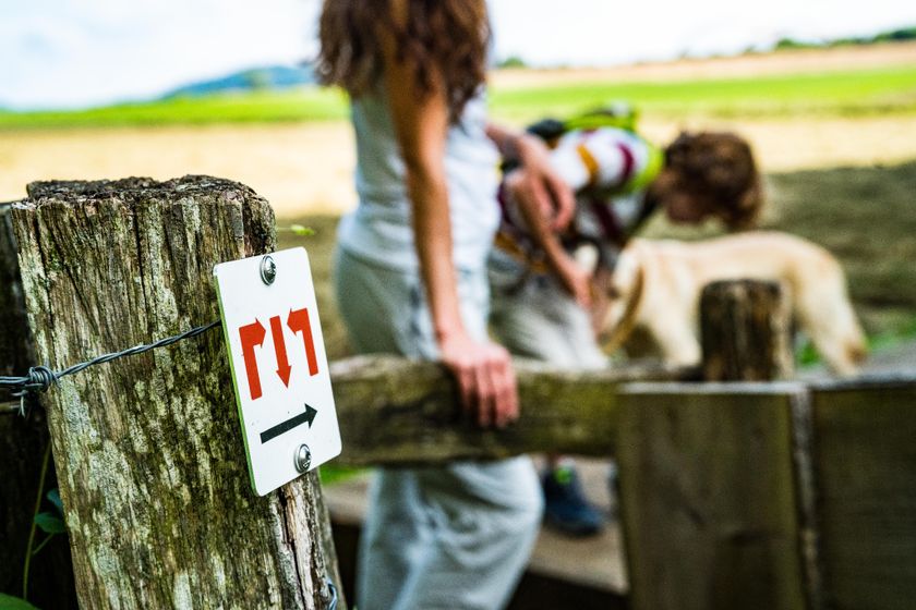
- © Fernand Morbach, Visit LuxembourgRondwandelroutes
Bësch Tour - RE1
Afstand: 7,63 kmMeer informatie
Duur: 2:00 h
Moeilijkheidsgraad: makkelijk - © Visit LuxembourgRondwandelroutesSchilderachtig
Auto-Pédestre wandelroute Boulaide
Afstand: 9,26 kmMeer informatie
Duur: 2:50 h
Moeilijkheidsgraad: medium - © ORT SudLangeafstandswandelroutes
Europese langeafstandswandelroute GR 570
Afstand: 25,63 kmMeer informatie
Duur: 7:20 h
Moeilijkheidsgraad: makkelijk - © Visit Moselle, Visit LuxembourgRondwandelroutes
Elvange C - De giele Wee
Afstand: 11,99 kmMeer informatie
Duur: 3:00 h
Moeilijkheidsgraad: makkelijk - © Visit LuxembourgRondwandelroutesKinderen & Gezin Schilderachtig Hondvriendelijk
Lokale wandelroute - E6
Afstand: 7,54 kmMeer informatie
Duur: 2:15 h
Moeilijkheidsgraad: medium - © Visit Éislek, Visit ÉislekRondwandelroutesSchilderachtig
Lokale wandelroute BS 4 - Bourscheid-Moulin
Afstand: 9,10 kmMeer informatie
Duur: 3:05 h
Moeilijkheidsgraad: medium - © Visit LuxembourgLangeafstandswandelroutes
33 Station to station Dippach-Reckange - Leudelange
Afstand: 8,52 kmMeer informatie
Duur: 2:15 h
Moeilijkheidsgraad: makkelijk - © Visit Luxembourg
Mertert Cultuurpad
Afstand: 9,40 kmMeer informatie
Duur: 2:34 h
Moeilijkheidsgraad: medium - © Eric Threinen / Luxembourg City Tourist OfficeLangeafstandswandelroutes
Pelgrimsroute - Sint Jacobsroute
Afstand: 177,51 kmMeer informatie
Duur: 46:50 h
Moeilijkheidsgraad: medium - © Pulsa Pictures, ORT SUDMinett Trail
Minett Trail: Differdange Gare - Belval-Rédange Gare
Afstand: 8,15 kmMeer informatie
Duur: 2:20 h
Moeilijkheidsgraad: medium