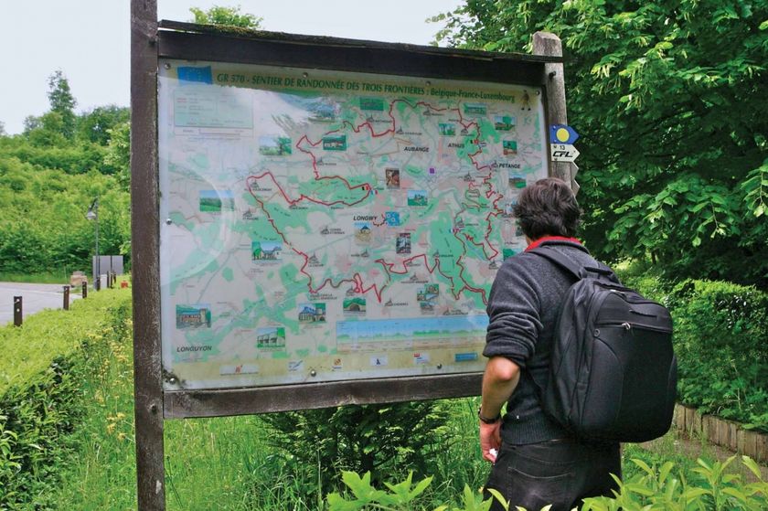
Luxembourg Hiking
Dirbach©Jeniska Photography Hiking map
pdf | 5.60 MBDownload - Hiking map | pdf | 5.60 MBThe foldable hiking map includes a geographic orientation of the country’s walking trails as well as useful information about the activity. It provides an overview of the main hiking offer in Luxembourg, with guidance on where to find more specific information. One map in four languages (DE, FR, EN, NL).

Hiking trails in Luxembourg
620 results
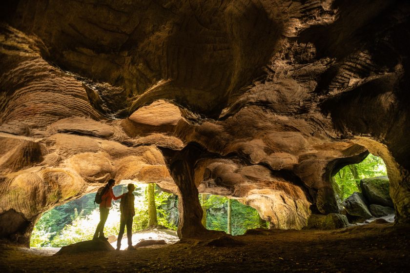
©Pancake! Photographie, Visit Luxembourg Mullerthal Trail - Leading Quality Trails - Best of EuropeMullerthal Trail Route 2
Distance: 39,65 kmFind out more
Duration: 12:50 h
Difficulty: difficult©Ninon Sitz, Visit Luxembourg Circular routesHeedbaach Route - RE2
Distance: 3,62 kmFind out more
Duration: 0:55 h
Difficulty: easy©ORT Sud Thematic pathsKids & FamilyEducational trail “Felten's Pol säi Léierpad"
Distance: 1,80 kmFind out more
Duration: 0:25 h
Difficulty: easy©Visit Éislek Circular routesScenicLocal hiking trail CL 5 - Clervaux
Distance: 12,78 kmFind out more
Duration: 4:00 h
Difficulty: difficult©Dominik Ketz, ferienregion-felsenland-suedeifel-eifel-rlp NaturWanderPark DeluxScenicNaturWanderPark delux: Rock Path 1 (L-Echternach)
Distance: 20,35 kmFind out more
Duration: 6:00 h
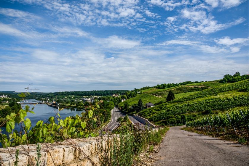
Difficulty: difficult©Paul Hilbert, Visit Luxembourg Circular routesScenicAuto-pedestrian hiking trail Stadtbredimus
Distance: 9,26 kmFind out more
Duration: 2:25 h
Difficulty: medium©Visit Luxembourg Circular routesCircular walk Hobscheid
Distance: 8,73 kmFind out more
Duration: 2:25 h
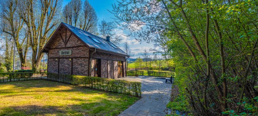
Difficulty: medium©Visit Éislek Circular routesScenicAuto-Pedestrian Hiking Trail Bettel
Distance: 8,80 kmFind out more
Duration: 2:30 h
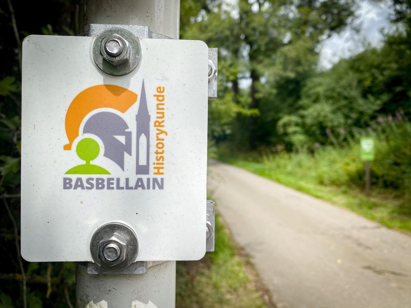
Difficulty: medium©Visit Éislek, Visit Luxembourg Thematic pathsBasbellain HistoryRoute
Distance: 9,43 kmFind out more
Duration: 2:20 h
Difficulty: medium©KuFa Circular routesKids & FamilyNature walk Natura 2000 - Boucle C: "La succession végétale sur un ancien territoire minier" – 2,5 km
Distance: 2,68 kmFind out more
Duration: 0:45 h
Difficulty: easy