Starting point
Consdorf: Konstrëffermillen or Mullerthal: Rue des Moulins
Destination
Consdorf: Konstrëffermillen or Mullerthal: Rue des Moulins
Distance
8,32 km
Duration
4:00 h
Difficulty
medium
  • Condition
Highest point
328 Hm
Lowest point
208 Hm
Aggregated Ascent
169 Hm
Aggregated Descent
169 Hm
Circular routes

Description

Refreshment stops available
Attention! Due to construction work, the hiking trail between the Heringer Millen and the Schiessentümpel has temporarily changed course. The Schiessentümpel can only be reached via a detour. Please follow the signposting on site or the course of the GPX, which can be downloaded here.


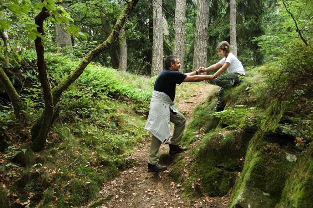
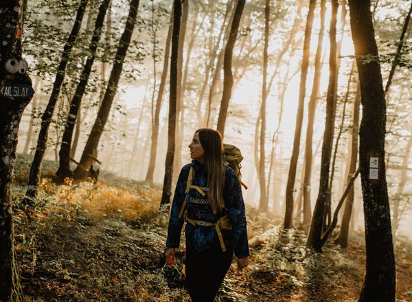
On this demanding tour you will come across the sites of two former mills, in the villages of Consdorf and Mullerthal. You hike past fascinating sandstone rock formations

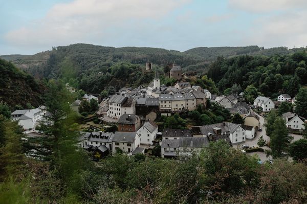
You may start and finish this tour at the Heringer Millen in the village of Mullerthal. This mill once was once one of the most important mills in the region. The place now hosts a brasserie and a tourist center. You may also start and finish at the Konsdrëfer Millen where you can stop and have a local beer.

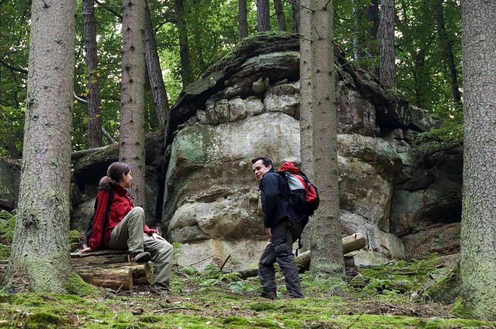
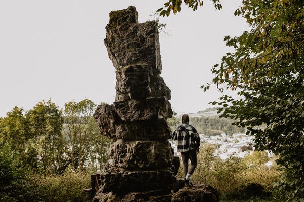
Goldkaul, Goldfralaee, Eilebuerg, Schelmelee and Ramelee are the names of some of the rocks that you see on this tour. These peculiar names often refer to former myths and legends. The process of erosion makes some of the sandstone rock formations look like bizarre figures or faces.

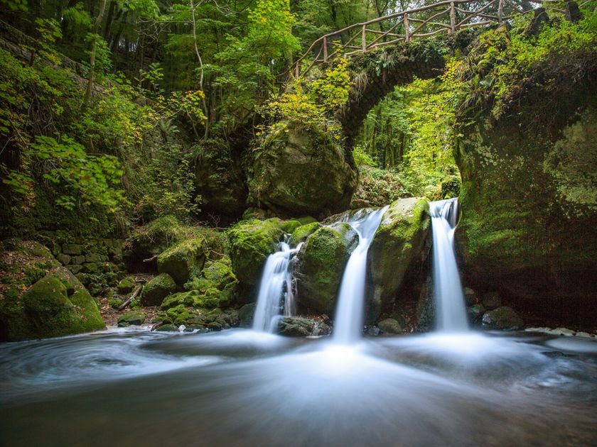
The Schiessentümpel is a picturesque waterfall on the Black Ernz. Its idyllic bridge made of stones and wood, the surrounding rocks and the lush vegetation, makes the Schiessentümpel one of the most popular spots in the Mullerthal Region - Luxembourg's Little Switzerland. 


Please make sure to enable your Cookies in case you don't see this content.

Suggestions nearby

Auto-pédestre trail Consdorf - Mullerthal

  • Parking - Touristcenter Heringer Millen
    Parking - Touristcenter Heringer Millen
    Find out more
  • © Hotel Restaurant Le Cigalon
    Restaurant Le Cigalon
    Restaurant Le Cigalon
    Find out more
  • Schiessentümpel / Schéissendëmpel waterfall
    Schiessentümpel / Schéissendëmpel waterfall
    Find out more
  • Trap - Schiessentümpel staircase
    Trap - Schiessentümpel staircase
    Find out more

Similar hiking tours

© Pulsa Pictures, Pulsa Pictures - ORT SUD
Minett Trail
Minett Trail: Rumelange Gare - Esch-sur-Alzette (Alternative)
Distance: 16,06 km
Duration: 4:35 h
Difficulty: medium
Find out more
© Visit Luxembourg
Distance trails
CFL-Bahnwanderweg 4 (Drauffelt - Kautenbach)
Distance: 16,13 km
Duration: 4:50 h
Difficulty: medium
Find out more
© Eric Hahn, Visit Luxembourg
Distance trails
CFL-Bahnwanderweg 8 (Wiltz - Merkholtz - Kautenbach)
Distance: 13,37 km
Duration: 4:20 h
Difficulty: medium
Find out more
© Visit Luxembourg
Distance trails
CFL-Bahnwanderweg 13 (Colmar-Berg - Mersch)
Distance: 10,42 km
Duration: 2:45 h
Difficulty: medium
Find out more
© Eric Hahn, Visit Luxembourg
Circular routes
Auto-Pédestre trail Bettendorf
Distance: 11,74 km
Duration: 3:15 h
Difficulty: medium
Find out more
© Eric Hahn, Visit Luxembourg
Circular routes
Auto-Pédestre trail Boulaide
Distance: 9,26 km
Duration: 2:50 h
Difficulty: medium
Find out more
© Jeniska Photography, Visit Guttland
Guttland.Trails
Guttland.Trail Fuussepad
Distance: 11,15 km
Duration: 3:10 h
Difficulty: medium
Find out more
© Jeniska Photography, Visit Guttland
Guttland.Trails
Guttland.Trail Mamerleeën
Distance: 7,53 km
Duration: 2:25 h
Difficulty: medium
Find out more
© Guy Krier, Visit Guttland
Circular routes
Auto-pédestre trail Redange
Distance: 8,10 km
Duration: 2:12 h
Difficulty: medium
Find out more
© European Easy-to-Read Logo: Inclusion Europe. More information at   www.easy-to-read.eu