© ORT Sud
Minett Germany France

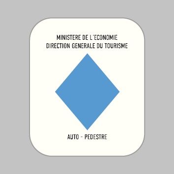
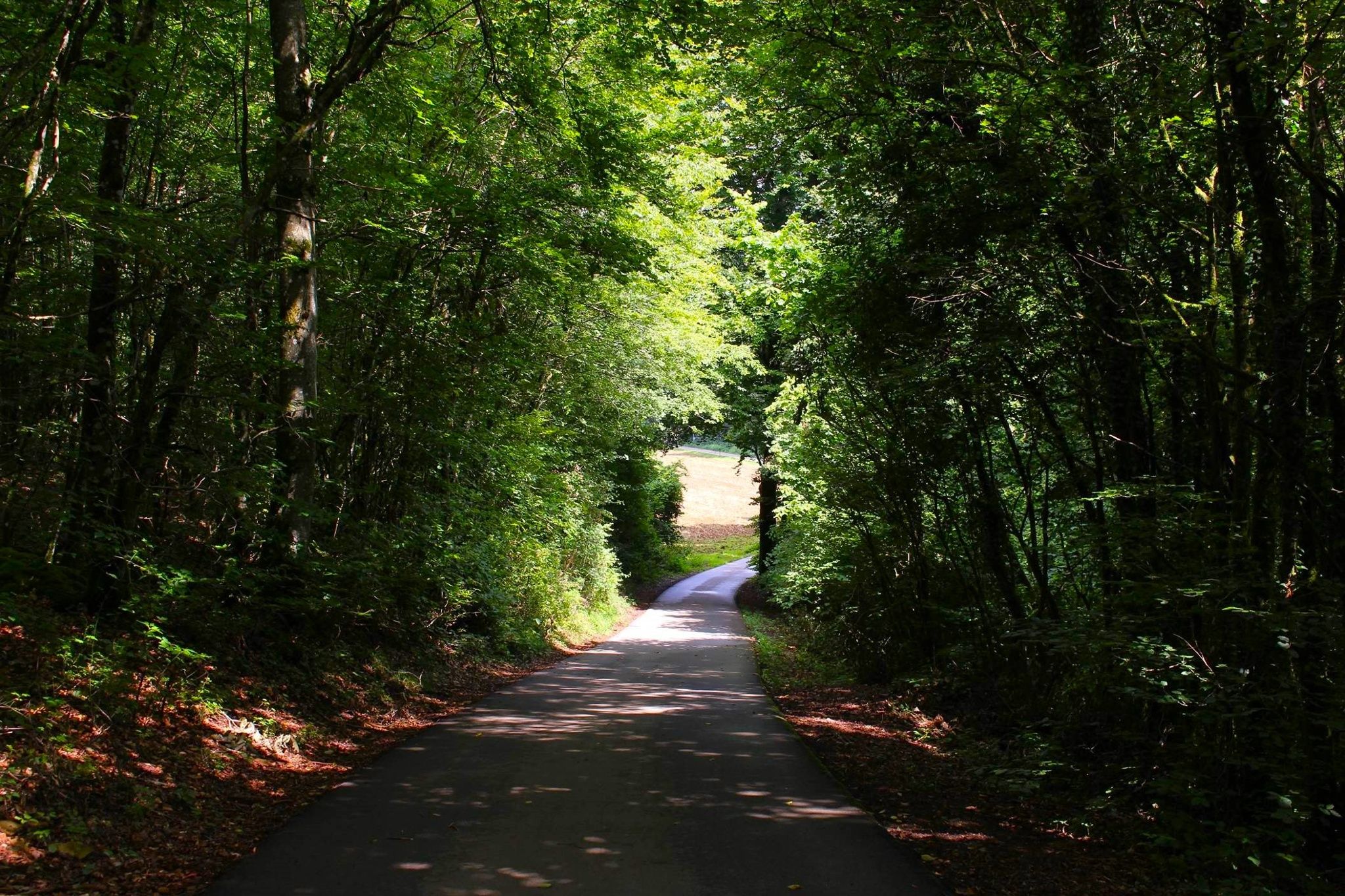
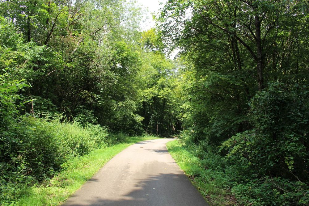
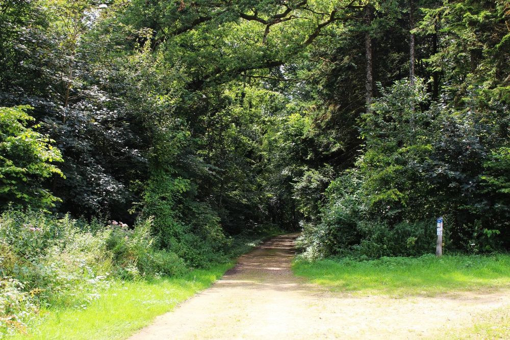
Auto-pédestre trail Rumelange - Walert

Hunting Season 2024/25 — Check for hunts before hiking

Autumn is here, and that means hunting season has begun! From mid-October to January/February, hunters are active across the country. Stay safe by checking hunt dates in your area on our Map. 

Click on Map in the Header > Services > More > Hunting.

Starting point
rue de la Bruyère L-3714 Rumelange
Destination
rue de la Bruyère 3714 Rumelange
Distance
8,89 km
Duration
2:25 h
Difficulty
medium
  • Condition
Highest point
445 Hm
Lowest point
309 Hm
Aggregated Ascent
135 Hm
Aggregated Descent
135 Hm
Circular routes Visit Luxembourg

Description

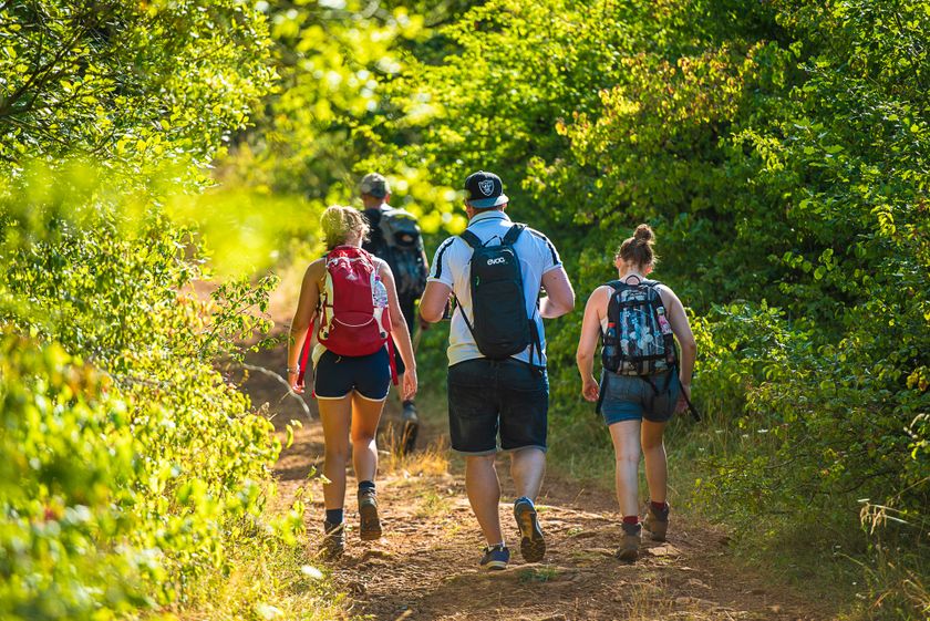
Hike in the footsteps of the mining heritage on the Auto-pédestre trail Rumelange-Walert.

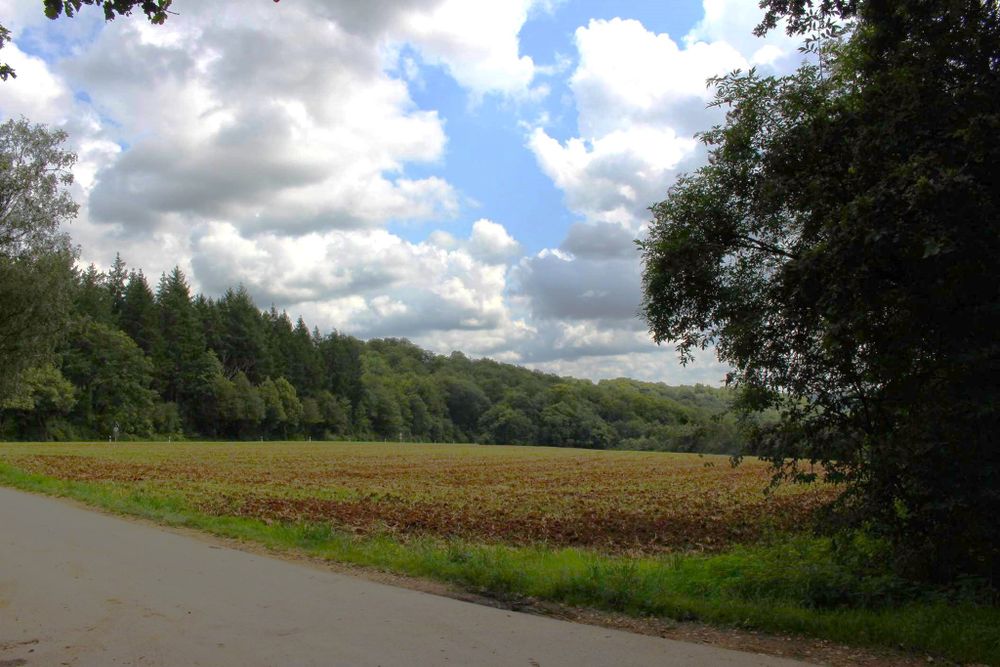
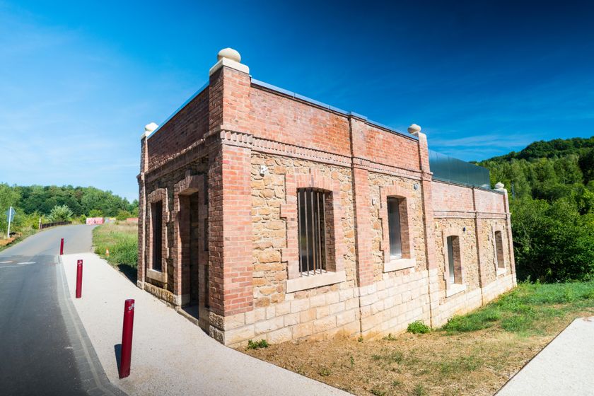
This hiking trail is a mixture of nature and industrial heritage. You walk past the "Musée des Mines Rumelange" mining museum and the old limekilns where quicklime was once produced. From here, you leave the small town of Rumelange in the direction of the "op der Heed" plateau. Before you reach the forest, you will pass a conveyor that transports limestone from the open-cast mine 300m away to Rumelange.

 Along the way, you will also see other remnants of iron ore mining, such as the remains of the cable car to transport the ore and several mine entrances in the "Welteschgrond". At the end of the hike, you will come to the destination of the conveyor you encountered earlier: the Cimalux cement factory.


Please make sure to enable your Cookies in case you don't see this content.

Suggestions nearby

Auto-pédestre trail Rumelange - Walert

  • © Pulsa Pictures_ORT Sud
    free
    with theLuxembourgCard
    National Mining Museum
    Underground at the National Mining Museum
    Find out more
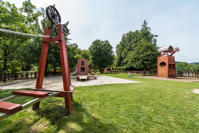
  • Playground "L'Aventure de la Mine" Rumelange
    Playground "L'Aventure de la Mine" Rumelange
    Find out more
  • © Pulsa Pictures - ORT SUD
    Nature reserve Léiffrächen
    Discover how the iron ore exploitation has lef its marks on the region and its nature
    Find out more
  • © Pulsa Pictures_OAI_ORT SUD
    Kabaisercher: Haus Gonner
    WifiParkingSituated in the centre of town

Similar hiking tours

© Visit Luxembourg
Circular routes
Auto-Pédestre trail Heiderscheid
Distance: 7,97 km
Duration: 2:25 h
Difficulty: medium
Find out more
© Fränk Weber, Studio Frank Weber
Circular routes
Auto-Pédestre trail Bourscheid
Distance: 5,88 km
Duration: 2:00 h
Difficulty: medium
Find out more
© Visit Luxembourg
Circular routes
Auto-Pédestre trail Munshausen
Distance: 8,68 km
Duration: 2:45 h
Difficulty: medium
Find out more
© Visit Luxembourg
Circular routes
Auto-Pédestre trail Lieler
Distance: 7,85 km
Duration: 2:15 h
Difficulty: medium
Find out more
© Visit Luxembourg
Circular routes
Auto-Pédestre trail Colmar-Berg
Distance: 7,24 km
Duration: 2:00 h
Difficulty: medium
Find out more
© Visit Luxembourg
Circular routes
Auto-Pédestre trail Roder
Distance: 7,64 km
Duration: 2:30 h
Difficulty: medium
Find out more
© Visit Éislek, Visit Éislek
Circular routes
Auto-Pédestre trail Esch-Sur-Sûre
Distance: 9,72 km
Duration: 3:10 h
Difficulty: medium
Find out more
© Visit Luxembourg
Circular routes
Auto-Pédestre trail Holtz
Distance: 8,92 km
Duration: 2:30 h
Difficulty: medium
Find out more
© Visit Luxembourg
Circular routes
Auto-Pédestre trail Arsdorf
Distance: 11,05 km
Duration: 3:10 h
Difficulty: medium
Find out more