Hunting Season 2024/25 — Check for hunts before hiking

Autumn is here, and that means hunting season has begun! From mid-October to January/February, hunters are active across the country. Stay safe by checking hunt dates in your area on our Map. 

Click on Map in the Header > Services > More > Hunting.

Starting point
Eisekaul, Esch
Destination
Eisekaul, Esch
Distance
4,42 km
Duration
1:15 h
Difficulty
easy
  • Condition
Highest point
416 Hm
Lowest point
326 Hm
Aggregated Ascent
89 Hm
Aggregated Descent
89 Hm
Visit Luxembourg

Description

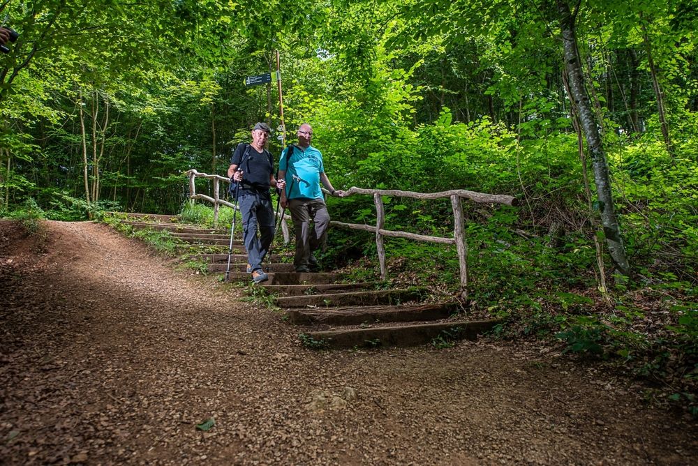
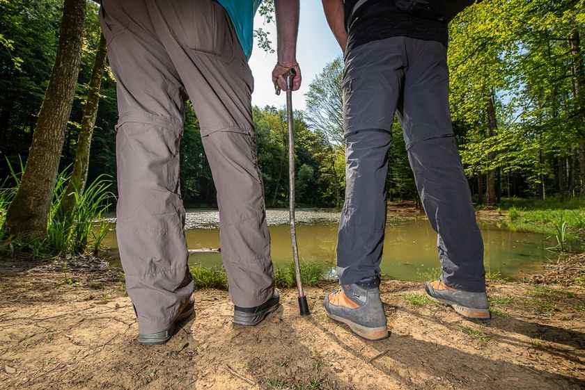
Hiking over the "Réimerwee" near Esch

Points of interest:

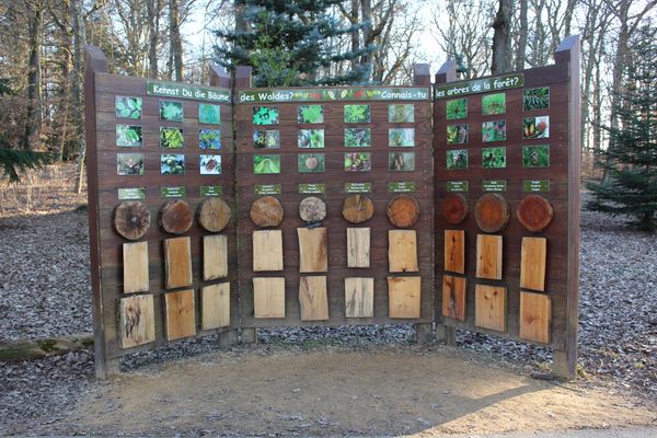
  •  “Waldschoul” forest school
  • “Holzebierg” viewing point
  • Roman road
  • “Ellergronn” nature reserve
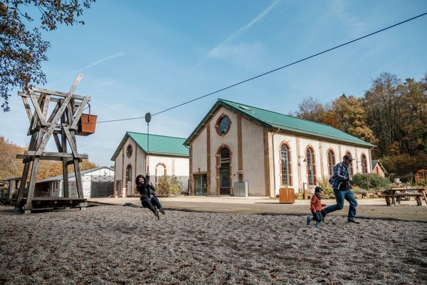
  • Former Cable car known as funicular
  • Shooting range
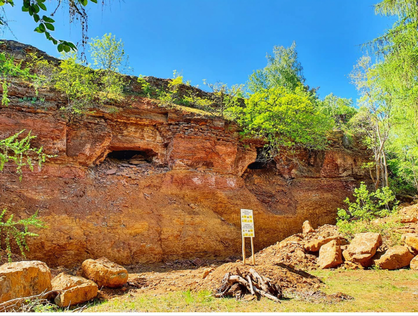
  • “Eisekaul” former open-cast mine
Please make sure to enable your Cookies in case you don't see this content.

Suggestions nearby

Esch: Réimerwee - 4 km

  • © Pulsa Pictures ORT Sud
    Nature reserve "Ellergronn"
    From mining to nature reserve
    Find out more
  • Minett - UNESCO Biosphere Reserve
    The Minett region - officially a UNESCO Biosphere Reserve
    Find out more
  • © CIGL ESCH
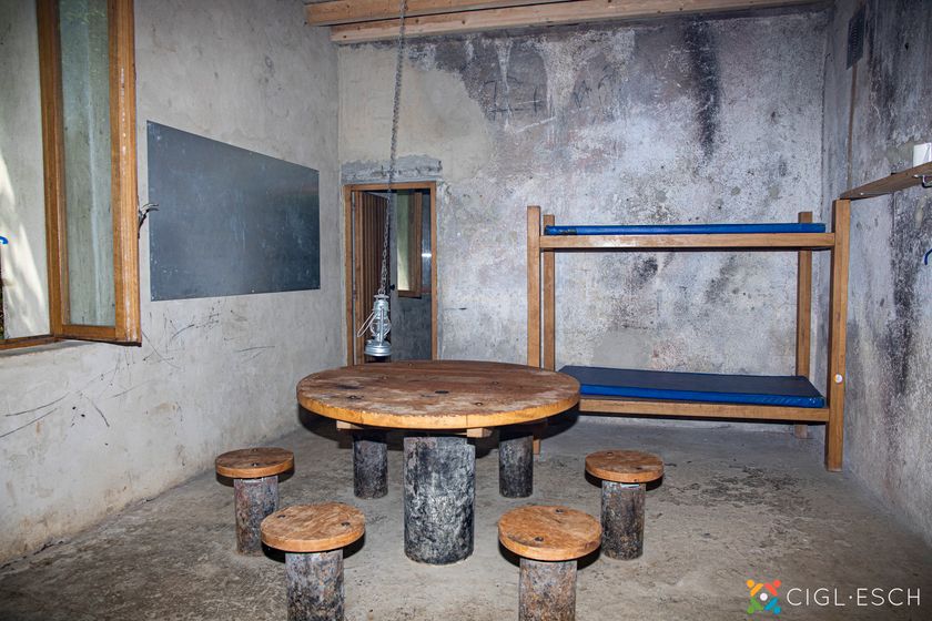
    Maison Rosati
    A night amidst nature
    Find out more

Similar hiking tours

© Parc Merveilleux / Andy Genen, Visit Luxembourg
Thematic paths
De Ris geet op d'Rees - Interactive adventure trail (short)
Distance: 6,30 km
Duration: 1:35 h
Difficulty: easy
Find out more
© Parc Merveilleux / Andy Genen, Visit Luxembourg
Thematic paths
De Ris geet op d'Rees - Interactive adventure trail (long)
Distance: 10,27 km
Duration: 2:40 h
Difficulty: easy
Find out more
© ORT Sud
Circular routes
Trail "De Kaweechelcherspad"
Distance: 1,36 km
Duration: 0:25 h
Difficulty: easy
Find out more
© ORT Sud
Circular routes
Auto-pédestre trail Leudelange-Gare
Distance: 7,82 km
Duration: 2:00 h
Difficulty: easy
Find out more
© Visit Luxembourg
Circular routes
In the centre of the village
Distance: 2,73 km
Duration: 0:42 h
Difficulty: easy
Find out more
© Visit Luxembourg
Thematic paths
Ierelchen Echternach - Hiking trail - Accessible to almost all
Distance: 3,68 km
Duration: 0:58 h
Difficulty: easy
Find out more
© Visit Luxembourg
UNESCO Walk - Luxembourg Old Town And Fortifications
Distance: 3,39 km
Duration: 1:47 h
Difficulty: easy
Find out more
© Pulsa Pictures, Pulsa Pictures & ORT Sud
Thematic paths
Didactic trail Dumontshaff
Distance: 4,84 km
Duration: 1:10 h
Difficulty: easy
Find out more
© Visit Luxembourg
Circular routes
Local hiking trail - M2
Distance: 4,97 km
Duration: 1:20 h
Difficulty: easy
Find out more