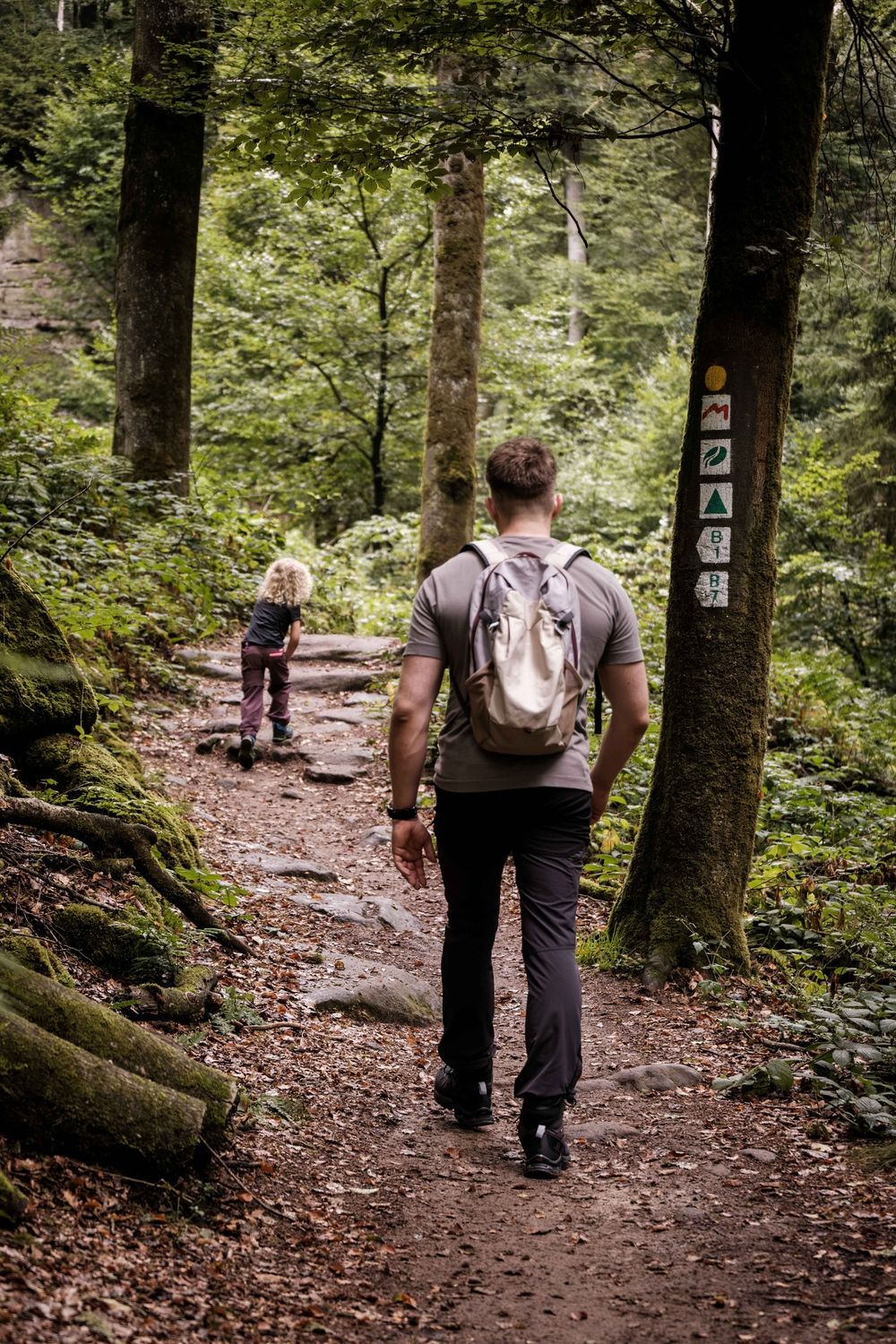
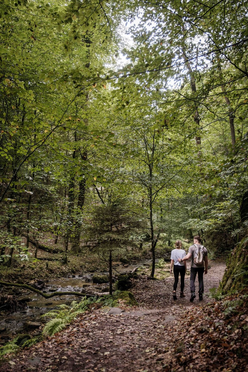
© Pancake! Photographie, Visit Luxembourg
Müllerthal Germany France

Geo-Pad Haupeschbaach and Halerbaach

Starting point
Beaufort: Parking Härewiss
Destination
Beaufort: Parking Härewiss
Distance
4,94 km
Duration
2:00 h
Difficulty
medium
  • Condition
Highest point
352 Hm
Lowest point
238 Hm
Aggregated Ascent
114 Hm
Aggregated Descent
114 Hm
Thematic paths Visit Luxembourg

Description

Refreshment stops available
The nature trail stretches over a distance of about five kilometres and leads through the picturesque valleys of the Haupeschbach and the Halerbach.

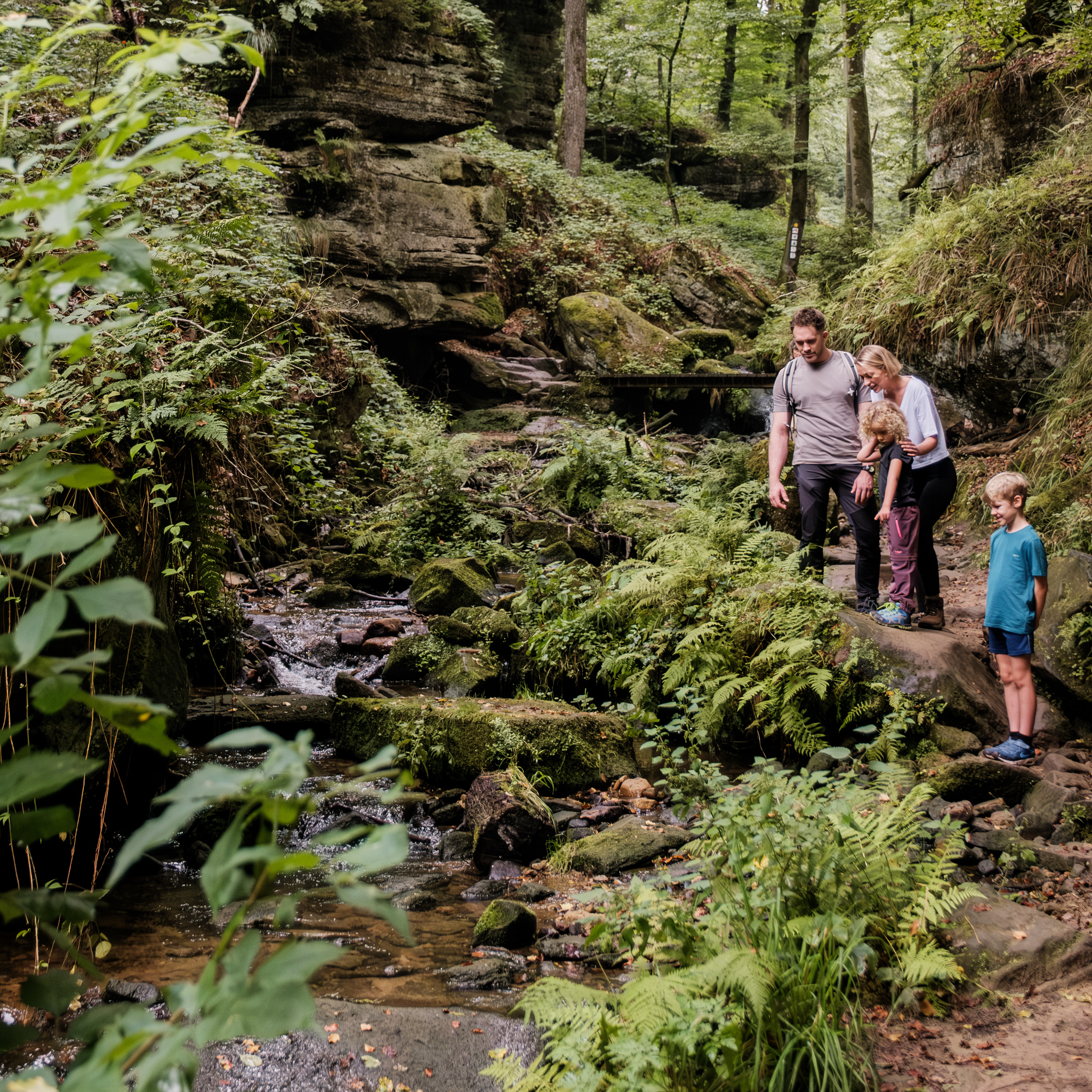
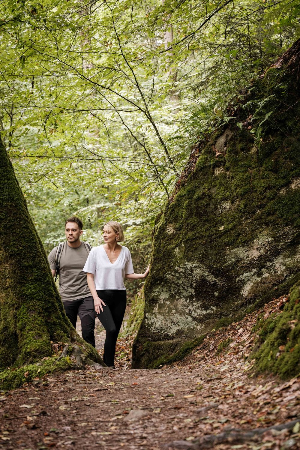
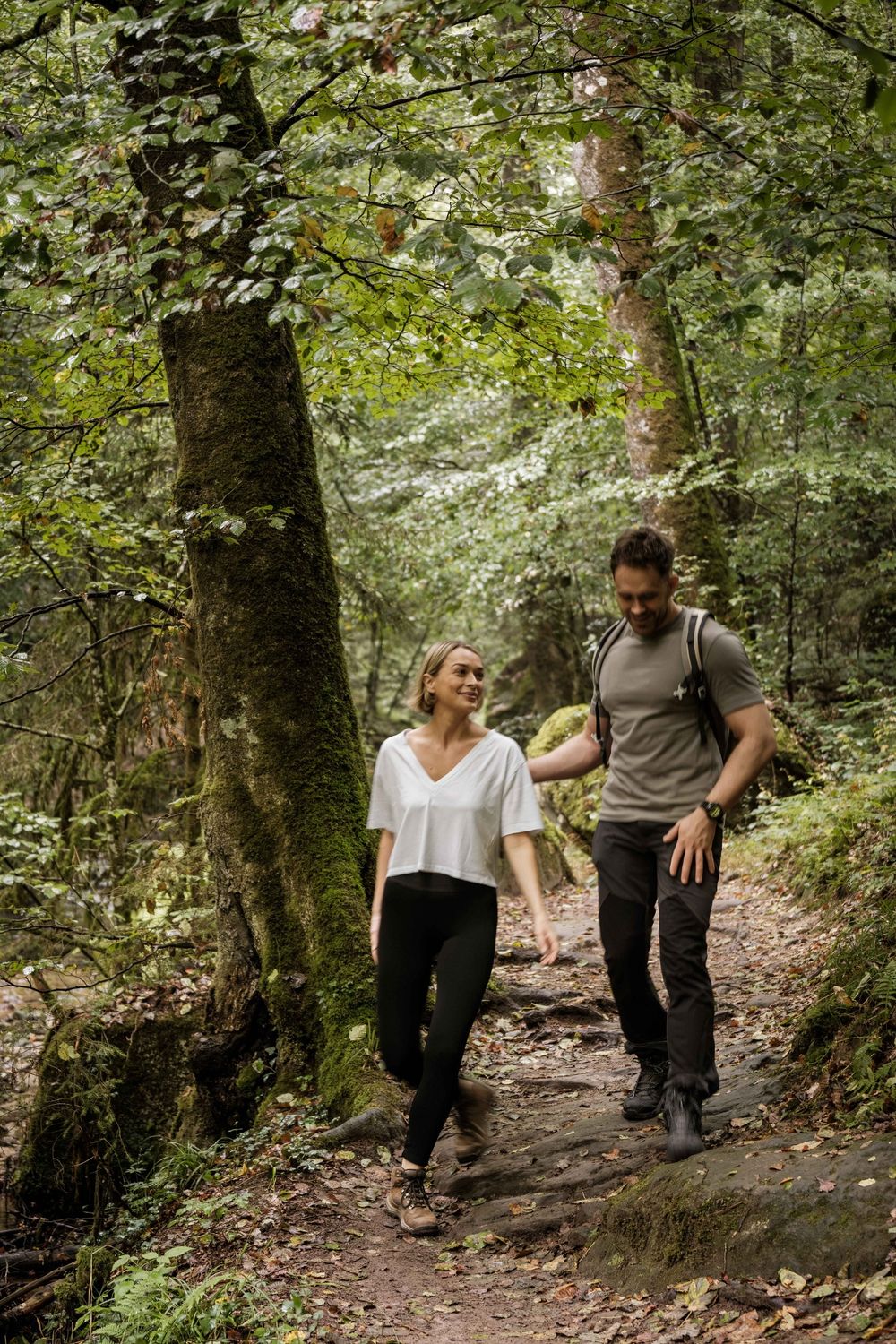
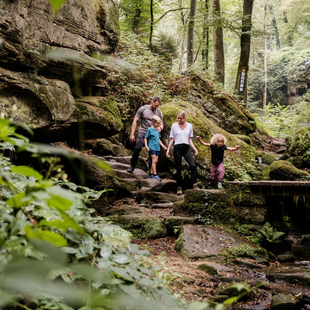
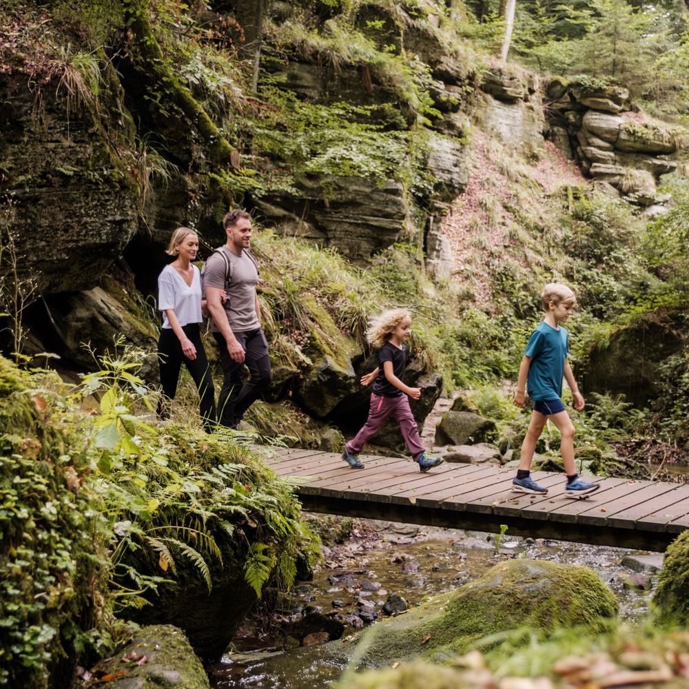
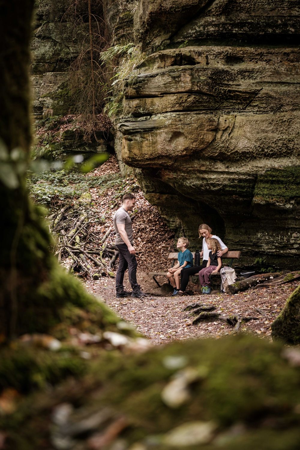
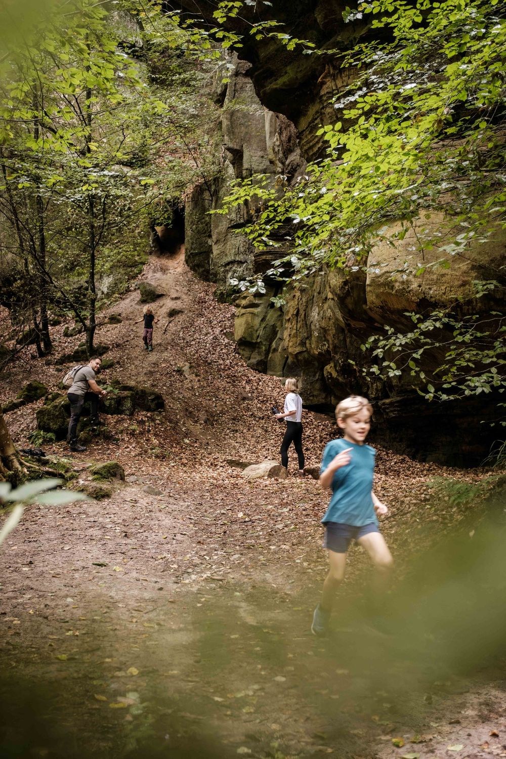
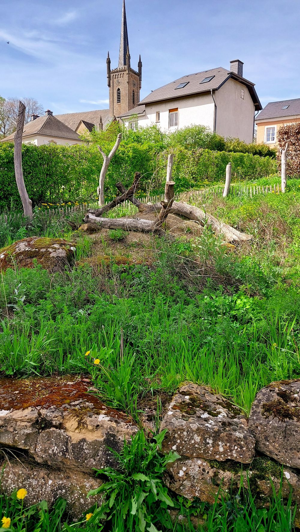
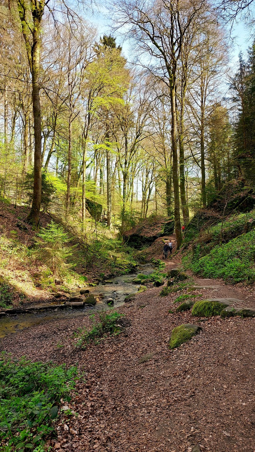
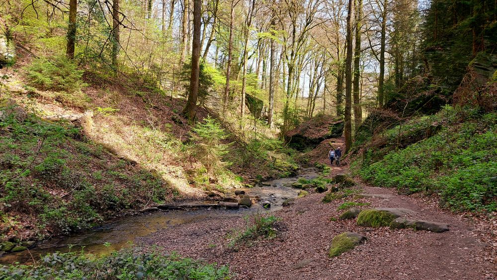
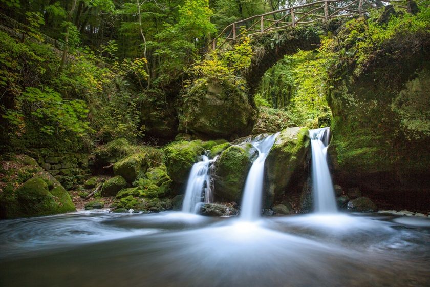
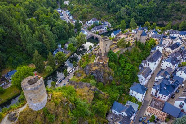
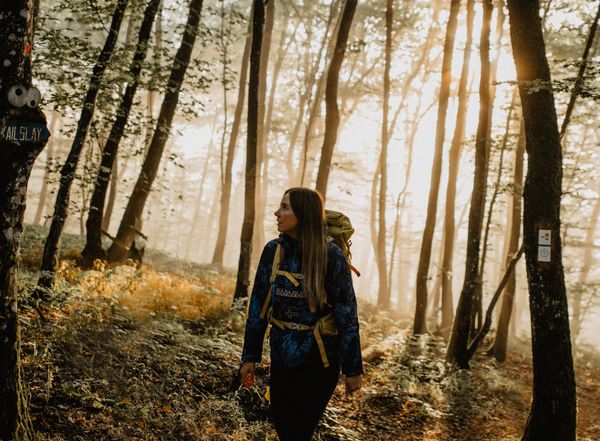
The nature trail leads for about 5 km through the valleys of the Haupeschbaach and the Halerbaach. It is marked with a fossil oyster ("devil's claw") which reminds us that our rocks were formed in a sea long time ago. The valley is an extremely valuable area: it is a Mëllerdall UNESCO Global Geopark geotope, part of the European Natura 2000 network of protected areas and has been on the list of national monuments since 1938.

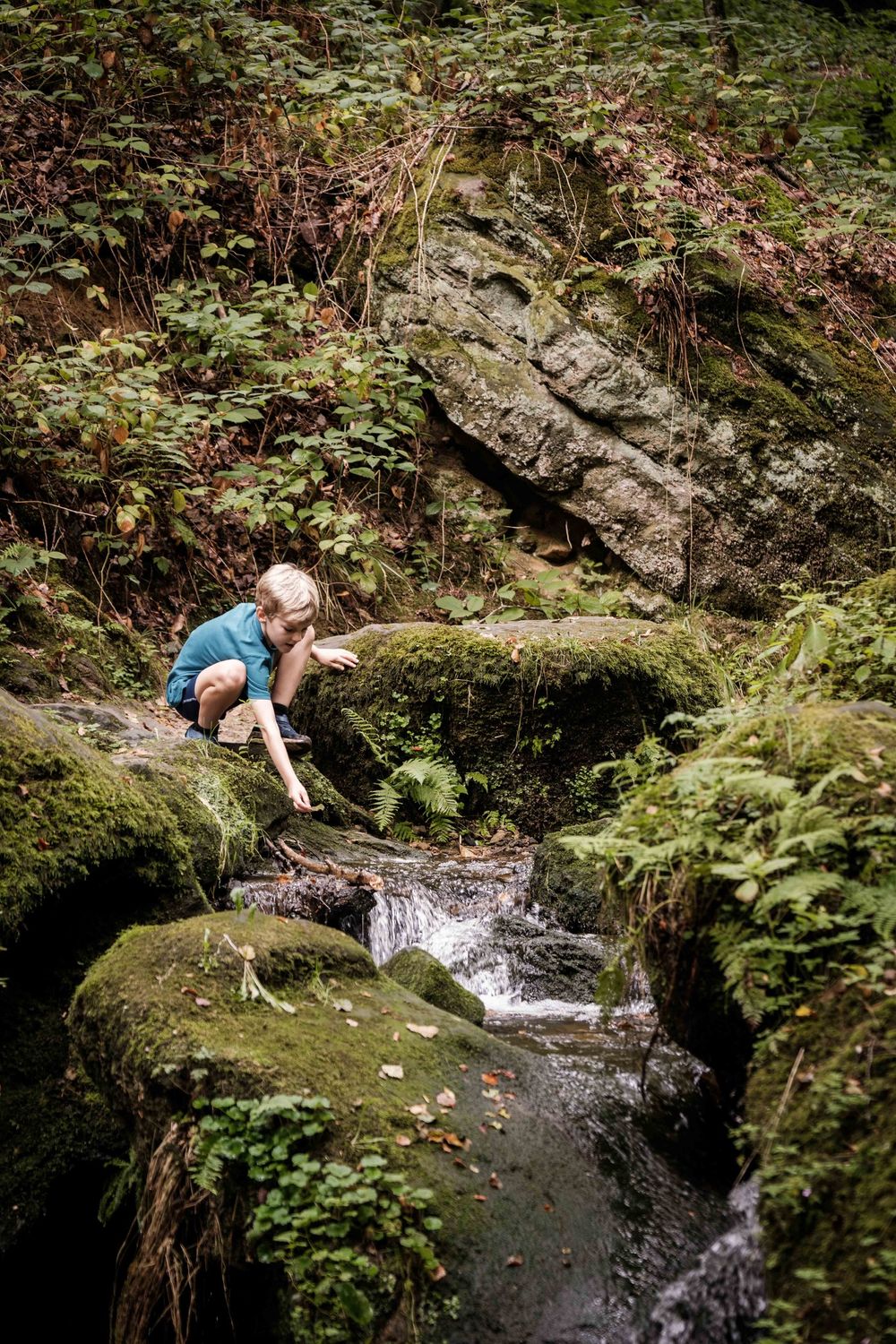
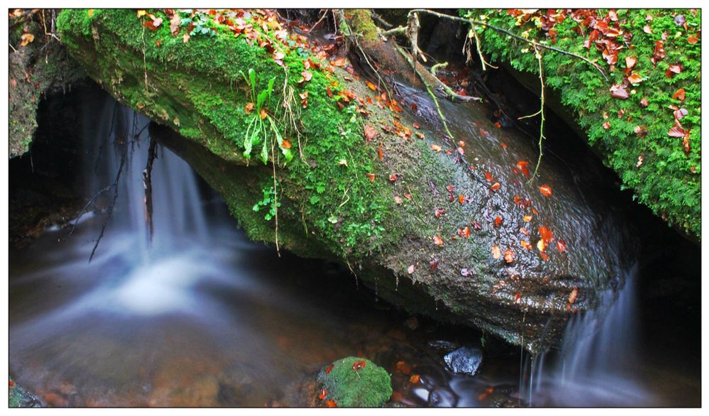
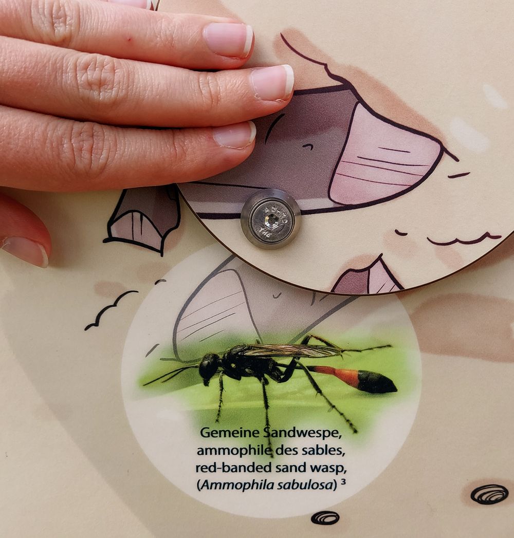
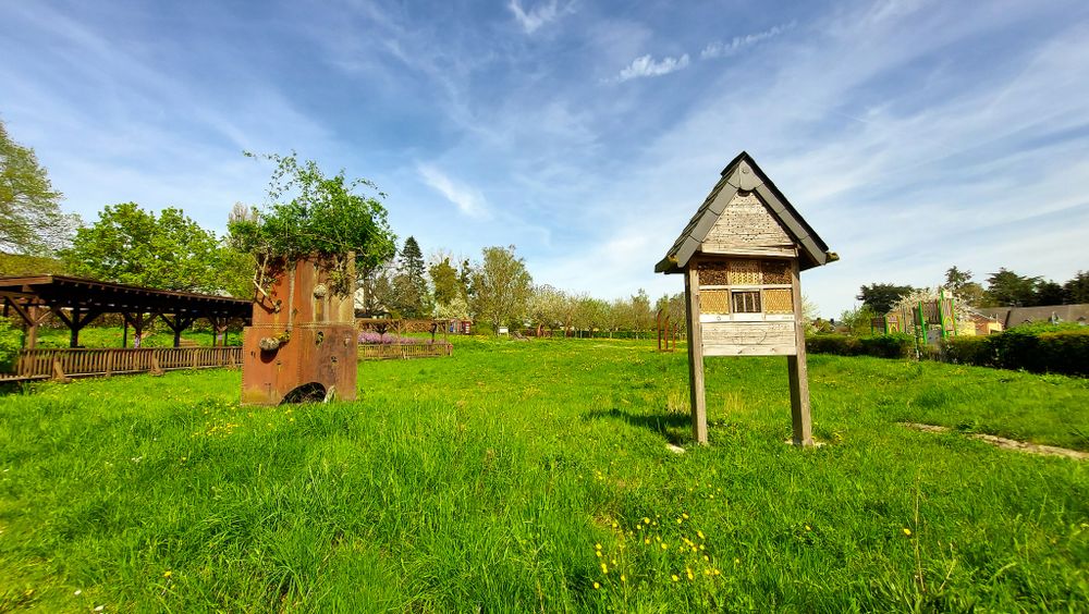
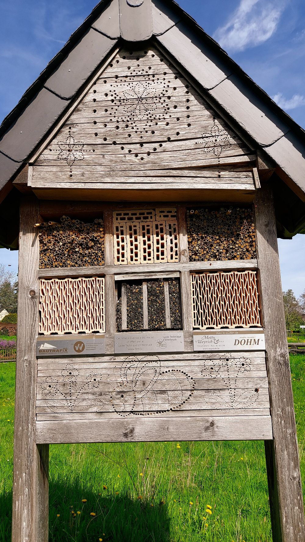
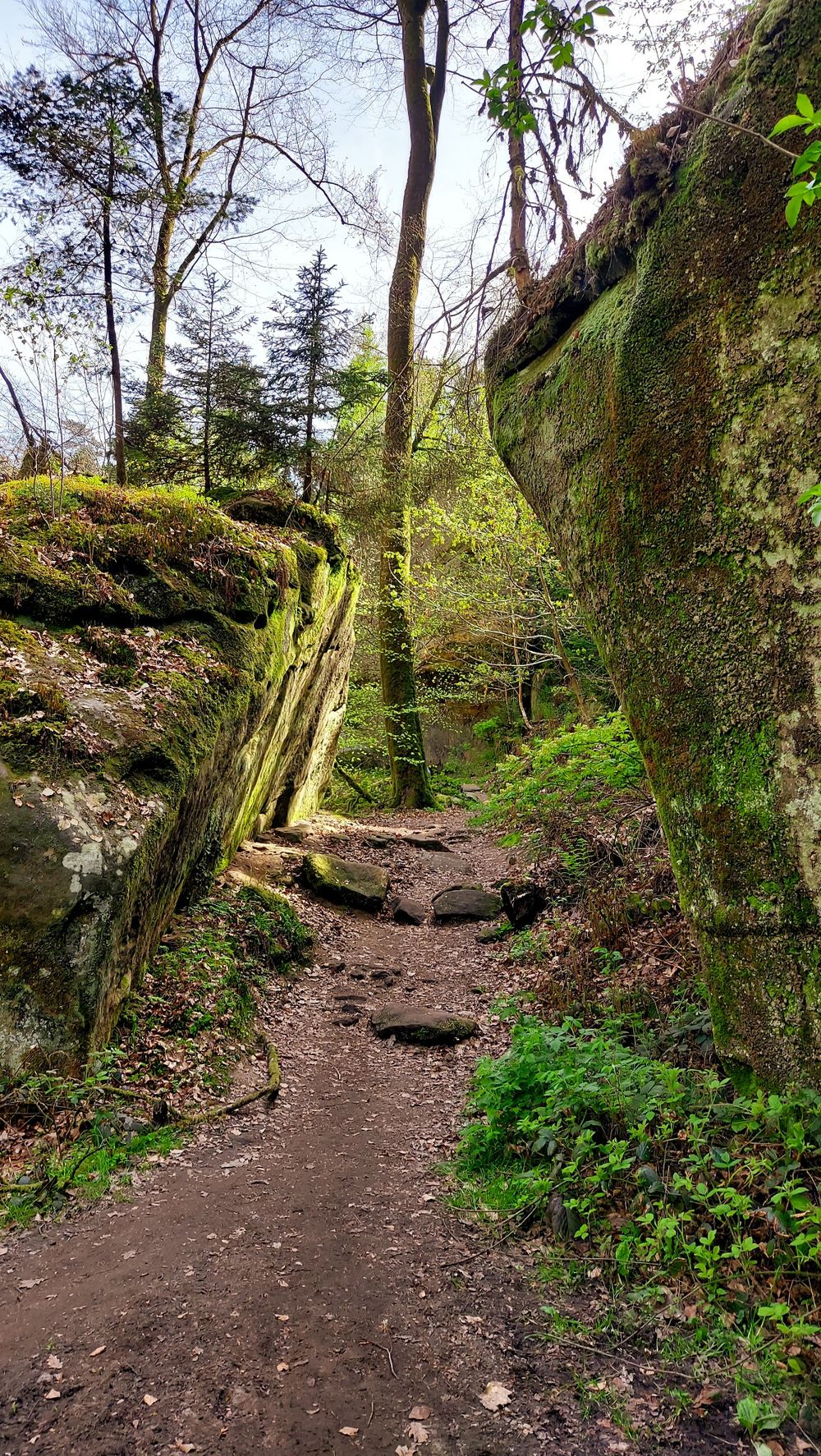
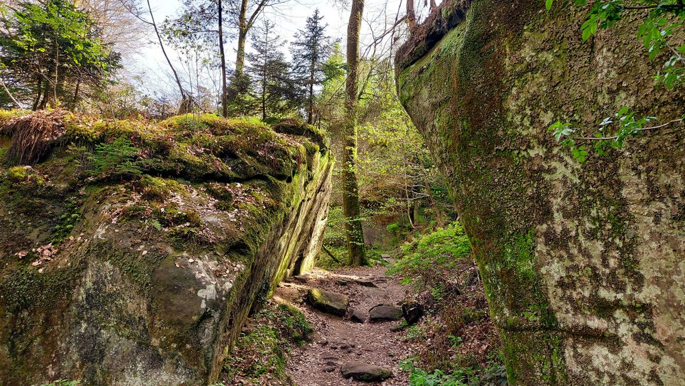
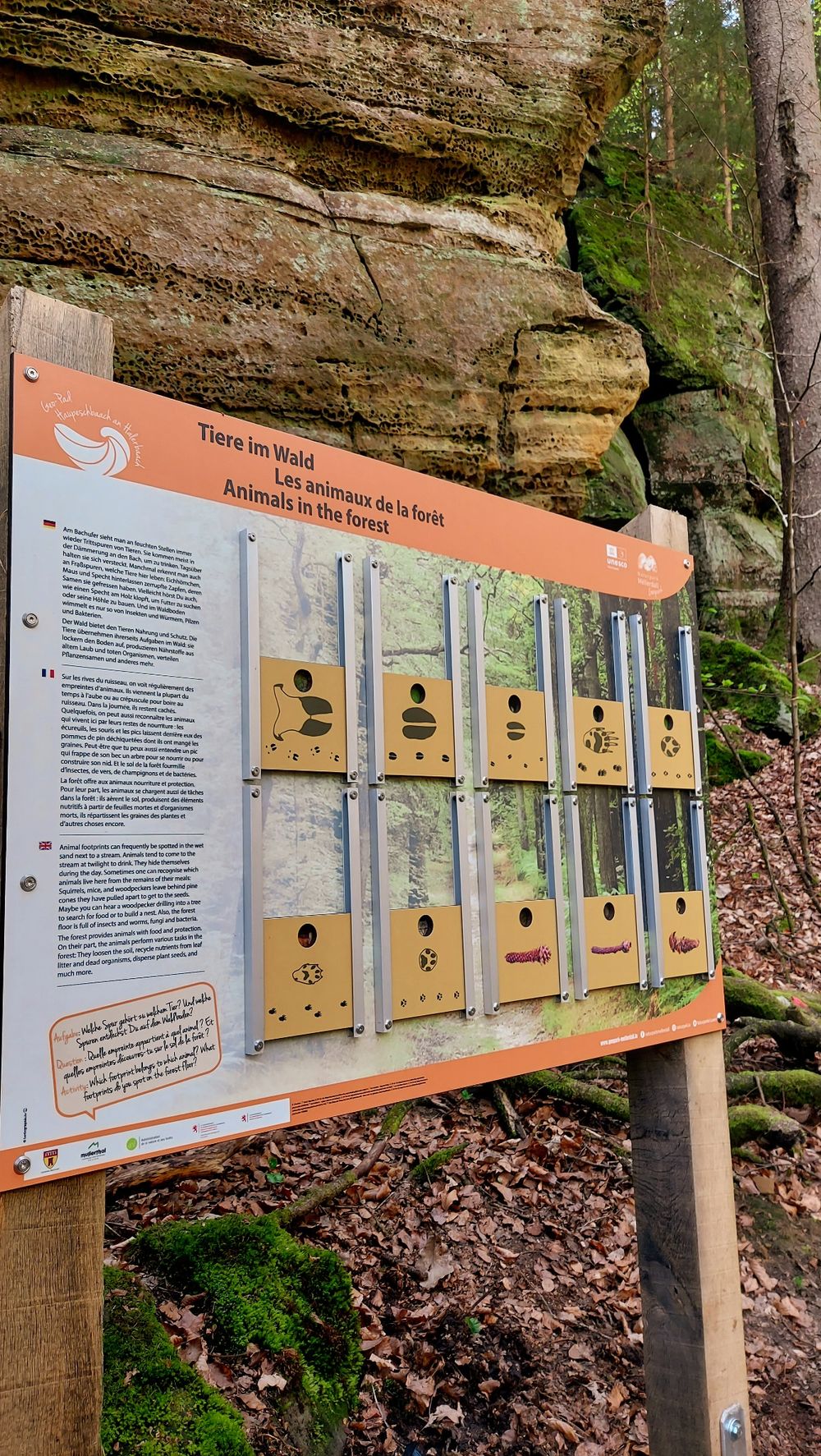
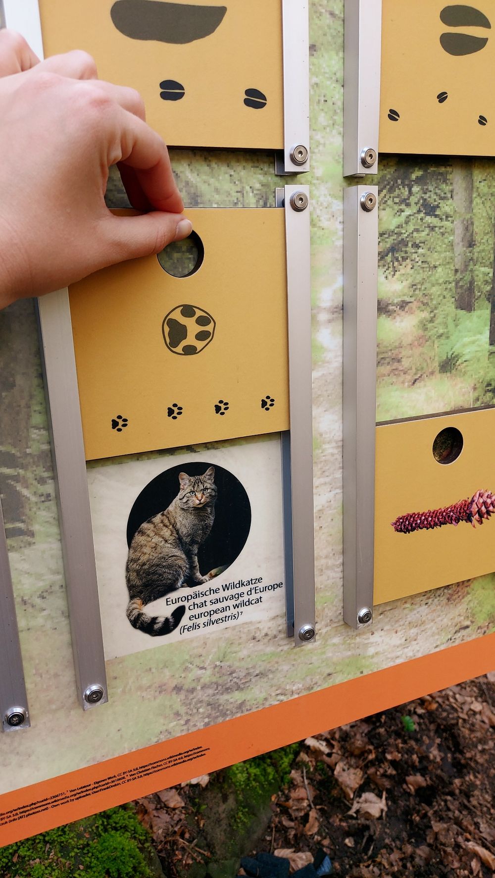
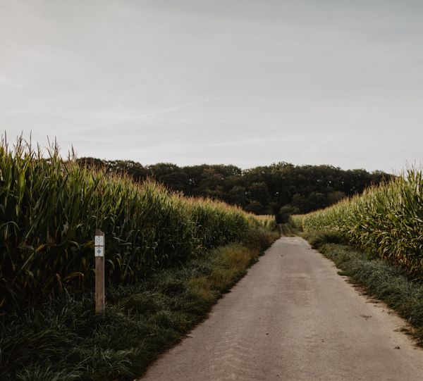
The trail leads through the narrow valley in the Luxembourg Sandstone, where question s about water may arise: What does water have to do with the formation of the sandstone? What processes can you observe in a stream today? What animals and plants live along the stream? Where does water come from and how do people use water and its power? You can get answers to all these questions during the hike.

Suggestions nearby

Geo-Pad Haupeschbaach and Halerbaach

  • © SI Beaufort
    Playground Härewiss
    Playground Härewiss
    Find out more
  • Parking - Castle of Beaufort
    Parking - Castle of Beaufort
    Find out more
  • © Kuijpers/Frameart
    Liqueur of the castle Beaufort
    Liqueur of the castle Beaufort
    Find out more
  • © Jos Nerancic
    free
    with theLuxembourgPass
    Beaufort Castles
    Immerse yourself in the history of the medieval castle and discover how the last occupant lived in the Renaissance castle.
    Find out more
  • © PANCAKE! Photographie
    Creek valleys “Haupeschbaach and Halerbaach”
    Hike along the wild-romantic, bubbling streams Haupeschbaach and Halerbaach
    Find out more
  • © Pancake! Photographie
    Geo-Expo
    Exhibition about the genesis of the Mëllerdall landscape and its unique cultural and natural heritage.
    Find out more
  • Mëllerdall UNESCO Global Geopark
    Mëllerdall UNESCO Global Geopark
    Find out more

Similar hiking tours

© Eric Hahn, Visit Luxembourg
Circular routes
Auto-Pédestre trail Heiderscheid
Distance: 7,97 km
Duration: 2:25 h
Difficulty: medium
Find out more
© Eric Hahn, Visit Luxembourg
Circular routes
Auto-Pédestre trail Munshausen
Distance: 8,68 km
Duration: 2:45 h
Difficulty: medium
Find out more
© Visit Luxembourg
Circular routes
Auto-Pédestre trail Roder
Distance: 7,64 km
Duration: 2:30 h
Difficulty: medium
Find out more
© Eric Hahn, Visit Luxembourg
Circular routes
Auto-Pédestre trail Holtz
Distance: 8,92 km
Duration: 2:30 h
Difficulty: medium
Find out more
© Eric Hahn, Visit Luxembourg
Circular routes
Auto-Pédestre trail Arsdorf
Distance: 11,05 km
Duration: 3:10 h
Difficulty: medium
Find out more
© Eric Hahn, Visit Luxembourg
Circular routes
Auto-Pédestre trail Goesdorf
Distance: 6,87 km
Duration: 2:10 h
Difficulty: medium
Find out more
© Visit Luxembourg
Circular routes
Auto-Pédestre trail Wilwerwiltz
Distance: 9,65 km
Duration: 2:50 h
Difficulty: medium
Find out more
© Visit Eislek
Circular routes
Auto-Pédestre trail Consthum
Distance: 7,72 km
Duration: 2:15 h
Difficulty: medium
Find out more
© Eric Hahn, Visit Luxembourg
Circular routes
Circuit du Lac (eastern part)
Distance: 16,79 km
Duration: 5:30 h
Difficulty: medium
Find out more