Description
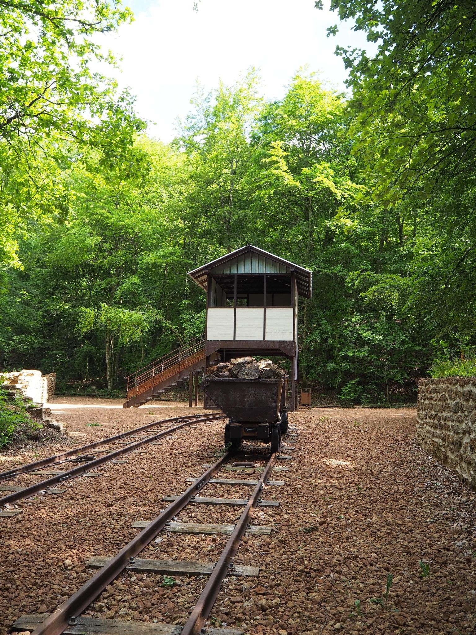
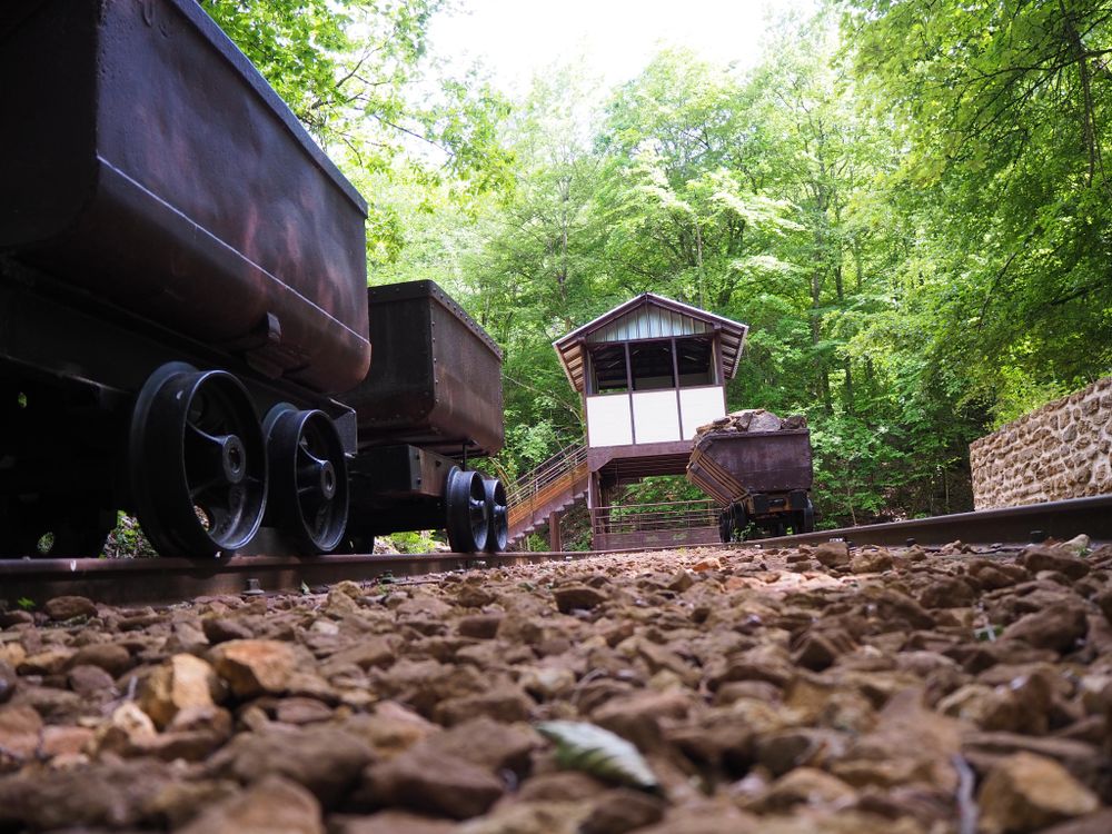
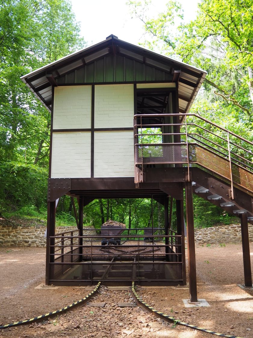
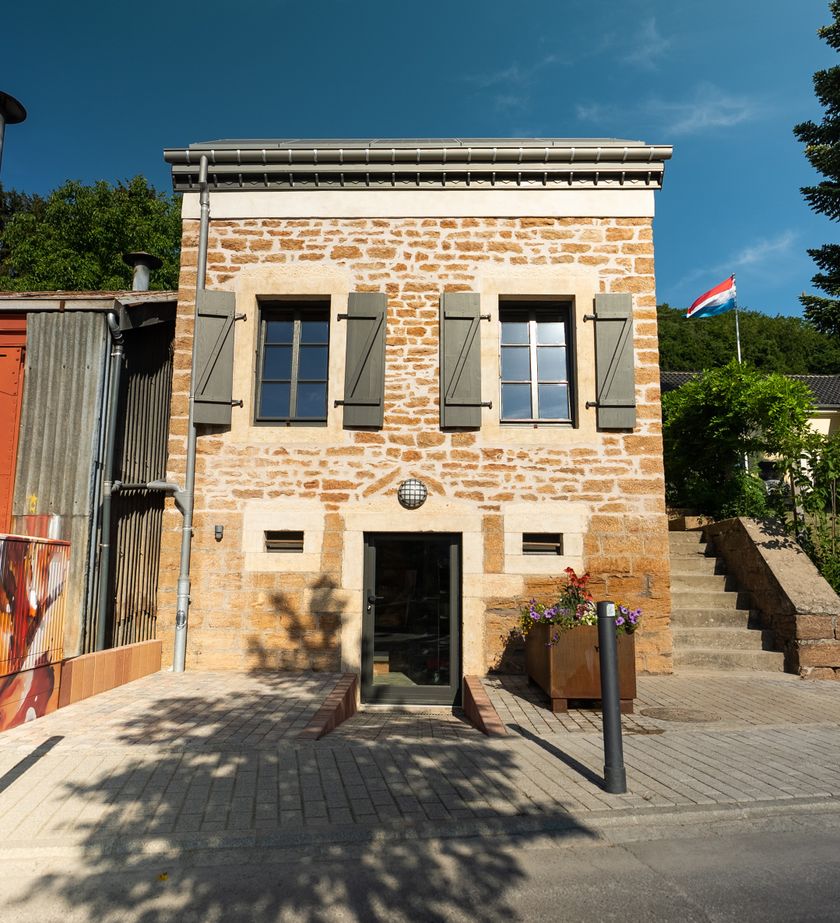
For decades, the southern part of Luxembourg and the landscape around Tétange were marked by the mining of iron ore, also known as "minette", which gave our region its name. With the exception of the Rumelange steel work, there were no other ore purchasers in the Kayl valley. This is why iron ore had to be transported out of the valley. The "Minettswee" takes you on a tour of the iron ore route, from the extraction sites at the hills, down to the railway tracks and out of the valley. This trail features several points of interest: the restored braking station on the Laangenaker inclined plane, the reproduction of the Laangenaker quay, where iron ore was unloaded from mining wagons (buggis) into railway carriages. Enjoy this trail through the remarkable landscape of old mines and hills offering panoramic views of the Kayl valley and impressive red cliffs. We hope you enjoy your walk.
Wir wünschen Ihnen viel Vergnügen.
Equipment
Journey
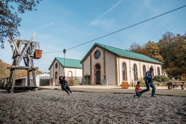
Getting there: The starting point at the "Schungfabrik" parking lot can be found by following the "Schungfabrik" signs.
Parking: There are several public parking spots at the starting point.


 This website uses technology and content from the Outdooractive Platform.