©Visit Luxembourg
Mosel Germany France

Kuebendällchen educational trail

Hunting Season 2025/26 — Check for hunts

Autumn is here, and that means hunting season has begun! From mid-October to January/February, hunters are active across the country. Stay safe by checking hunt dates in your area on our Map. 

Click on Map in the Header > Services > More > Hunting.

Starting point

Church in Wintrange

Destination

Church in Wintrange

Distance
5,55 km
Duration
1:35 h
Difficulty
easy
  • Condition
Highest point
275 Hm
Lowest point
151 Hm
Aggregated Ascent
145 Hm
Aggregated Descent
145 Hm
Thematic paths Visit Luxembourg

Description

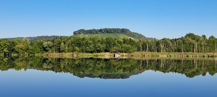
Discover biodiversity in a forgotten valley - the "Kurlerbaach" (stream), the vegetation along the valley slopes, the dry grasslands, the oak and beech forest.

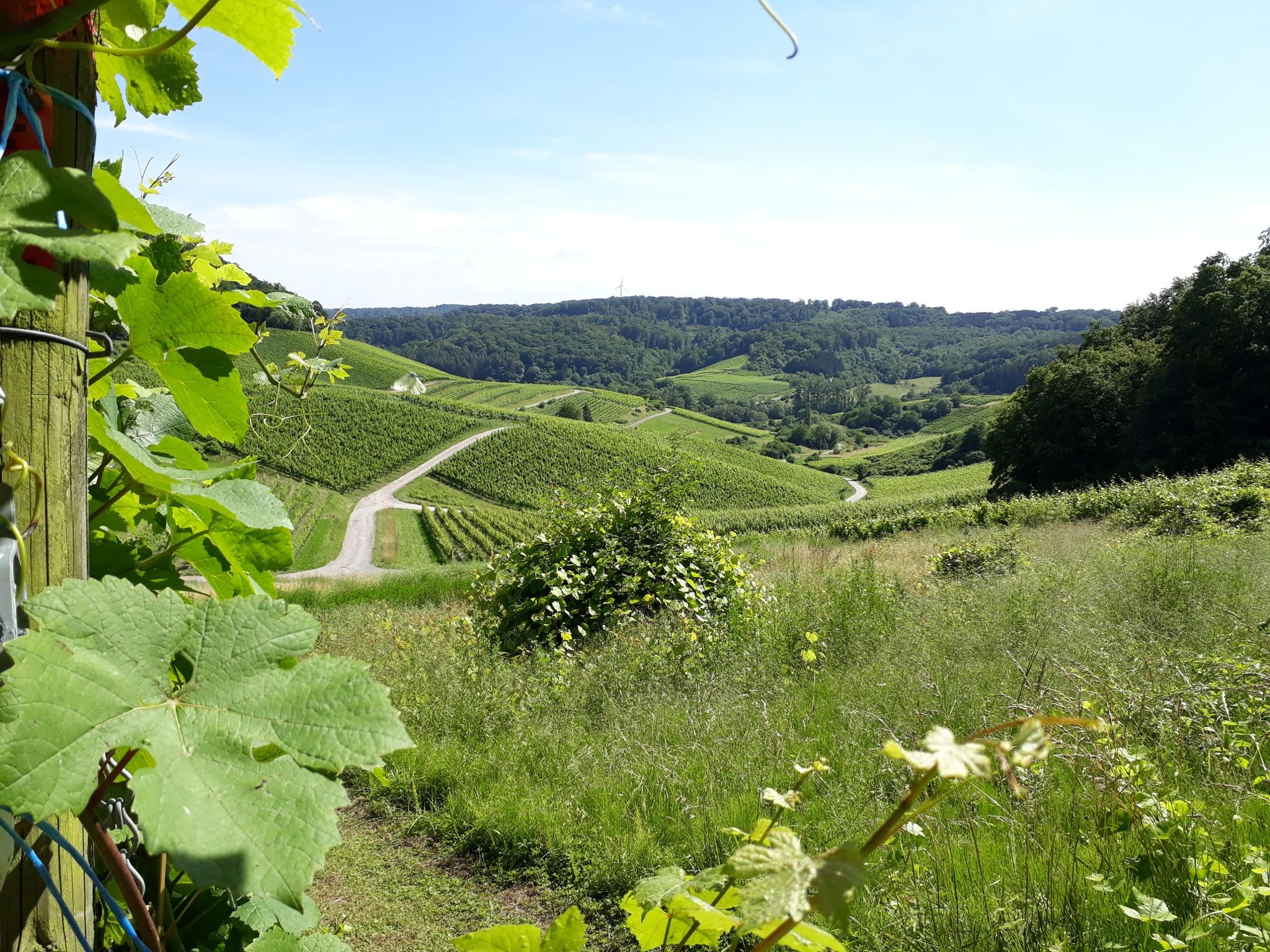
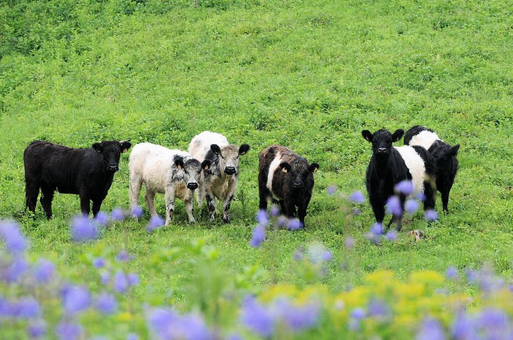
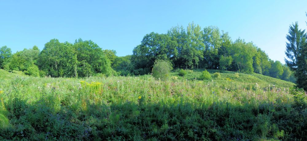
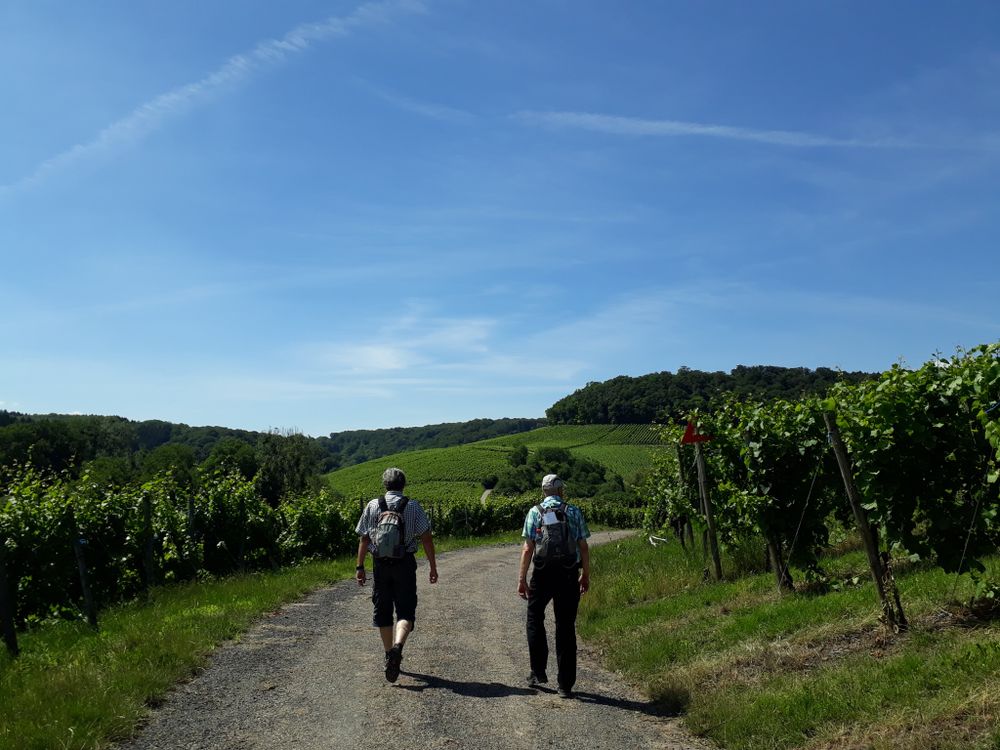
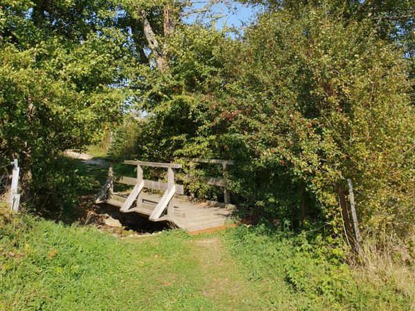
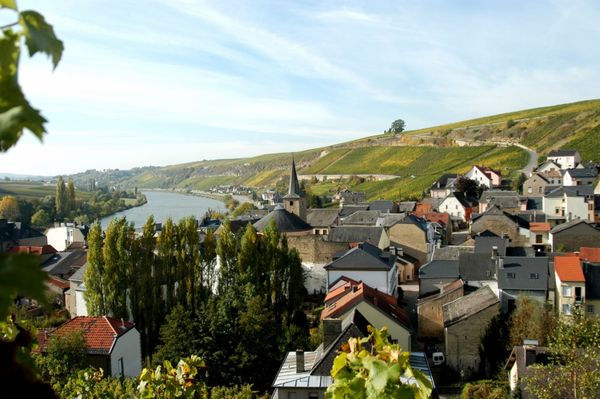
Nestled between hills and far from any settlement lies the Kuebendällchen nature reserve, whose tranquility invites restful hikes. The partly steep slopes have been shaped by viticulture, livestock, and forestry. This mix of forest, bushes, dry and wet open areas in a small space has created a species-rich habitat. The hiking route initially runs through a small side valley of the Kourlerbaach to the southern border of the nature reserve. There, the path leads you out of the valley up through the beech mixed forest onto the plateau. Below the vineyards, you circle the area before returning back into the valley.
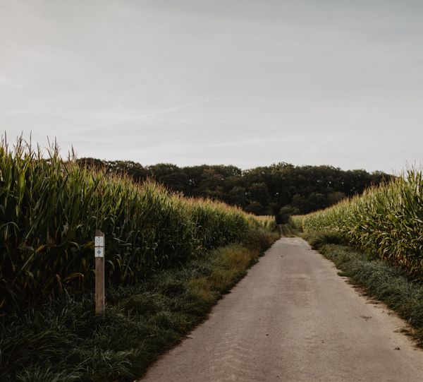
Suggestions nearby

Kuebendällchen educational trail


  • No image available
    Nature reserve "Kuebendällchen"
    Nature reserve "Kuebendällchen"
    Find out more
  • Domaine viticole Schumacher-Knepper
    Domaine viticole Schumacher-Knepper
    Find out more

Similar hiking tours

©ORT Sud
Circular routes
Natura 2000 nature trail - Loop B: “The exploitation of iron ore lands, past and present” – 4.5 km
Distance: 4,88 km
Duration: 1:15 h
Difficulty: easy
Find out more
©Pulsa Pictures, Pulsa Pictures ORT Sud
Local hiking trail Esch: Réimerwee - 4 km
Distance: 4,42 km
Duration: 1:15 h
Difficulty: easy
Find out more
©ORT SUD
Circular routes
Local hiking trail Esch: Sentier Norbert Theis Trail – 7km
Distance: 7,98 km
Duration: 2:15 h
Difficulty: easy
Find out more
©Visit Luxembourg
Circular routes
Auto-Pédestre Tadler hiking trail
Distance: 4,57 km
Duration: 1:30 h
Difficulty: easy
Find out more
©ORT Sud
Circular routes
Local hiking route "Parc Le'h" - children’s route
Distance: 1,46 km
Duration: 0:25 h
Difficulty: easy
Find out more
©Phothoteque de la Ville de Luxembourg - Tony Krier, Unknown
Shoah Memorial Trail in Luxembourg City
Distance: 3,26 km
Duration: 1:54 h
Difficulty: easy
Find out more
©Visit Luxembourg
Thematic paths
The court jester
Distance: 2,69 km
Duration: 1:00 h
Difficulty: easy
Find out more
©Visit Éislek, Visit Luxembourg
Thematic paths
Pure nature? - Small circular route
Distance: 1,88 km
Duration: 0:35 h
Difficulty: easy
Find out more
©Fernand Morbach, Visit Luxembourg
Circular routes
Bësch Tour - RE1
Distance: 7,63 km
Duration: 2:00 h
Difficulty: easy
Find out more
outdooractive This website uses technology and content from the Outdooractive Platform.