Description
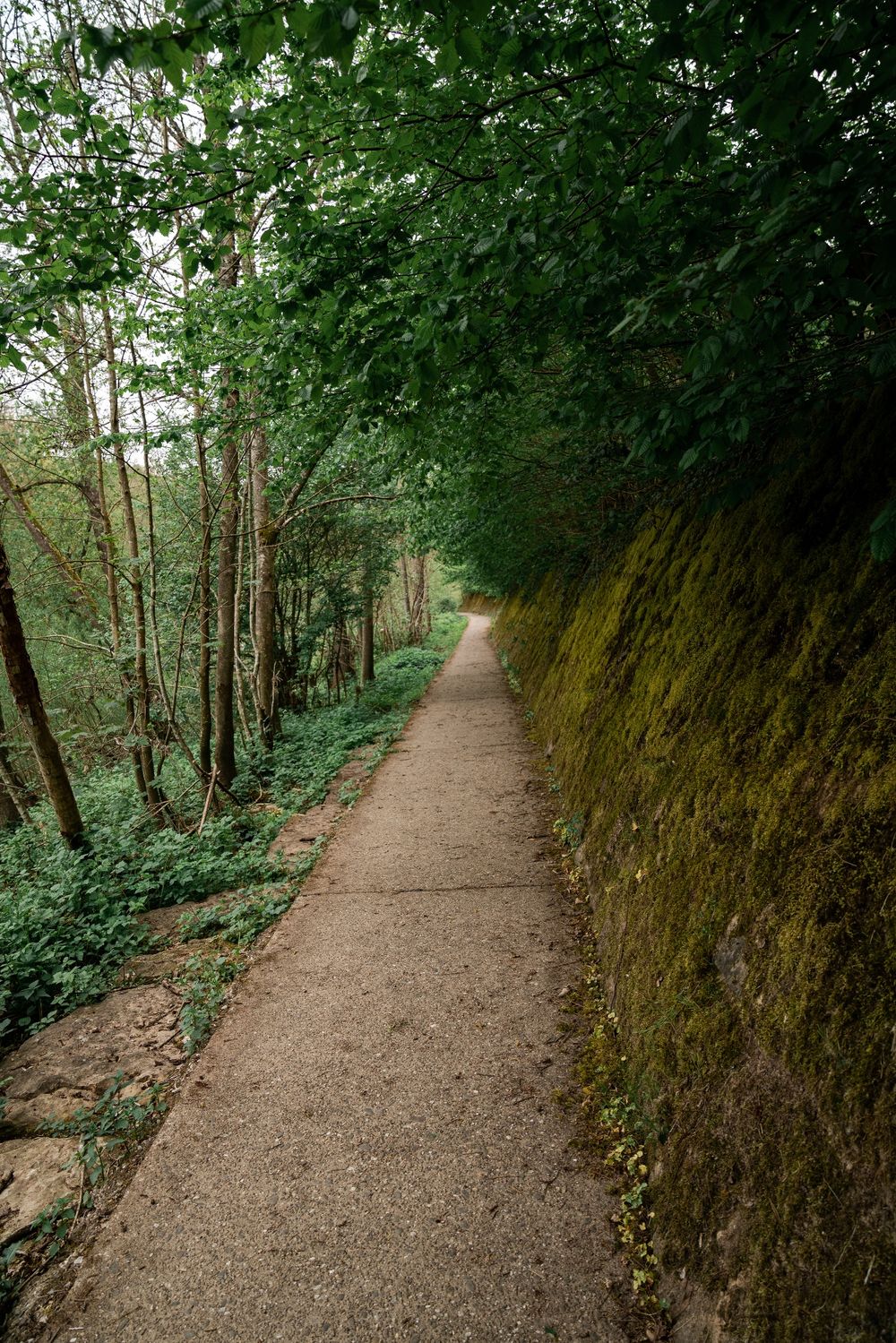
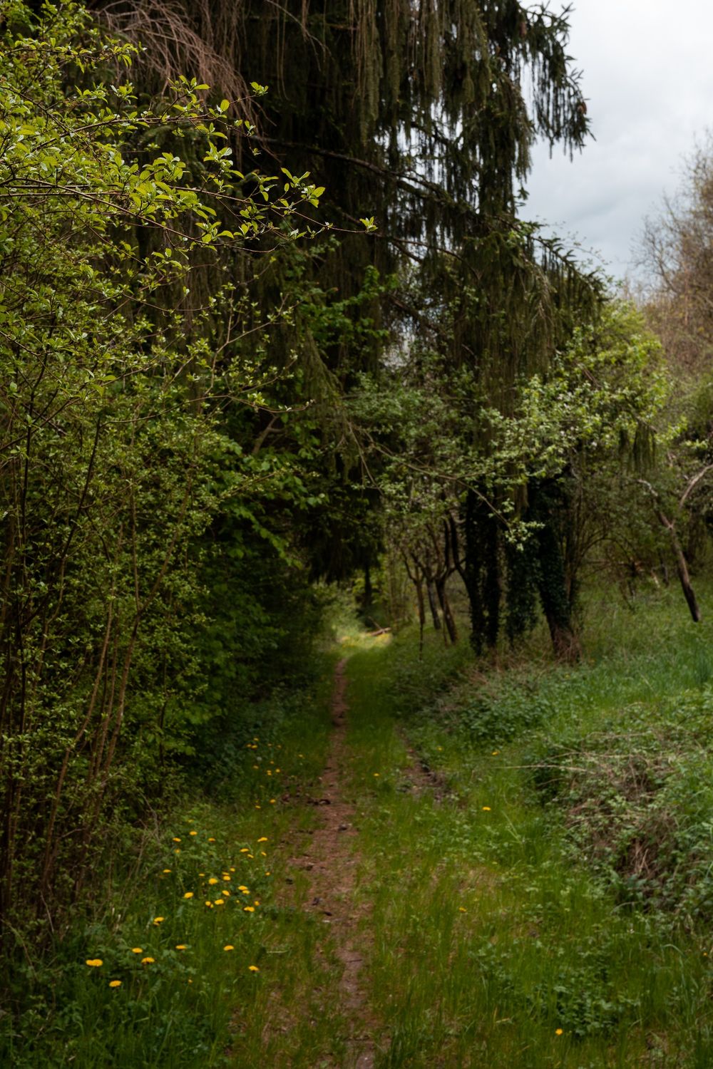
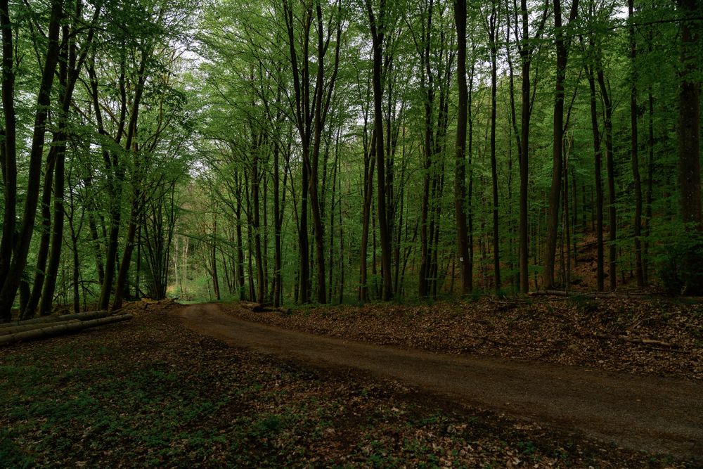
The path starts in Bollendorf-Pont and then leads first through a residential area. Then you go slightly uphill and see forests and open landscapes alternating. Shortly before the locality of Weilerbach, you cross the national road N10. Then you go down into the valley of the Sûre, which makes the border river between Luxembourg and Germany.
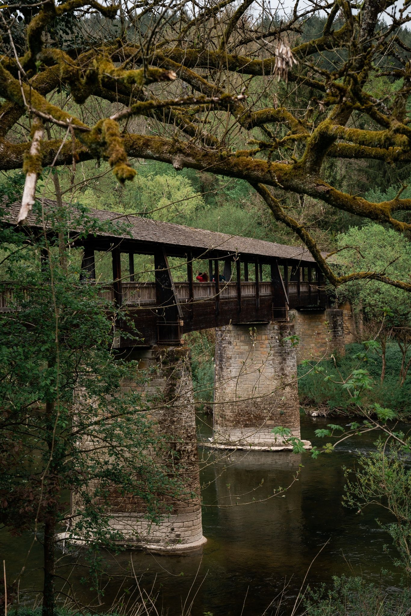
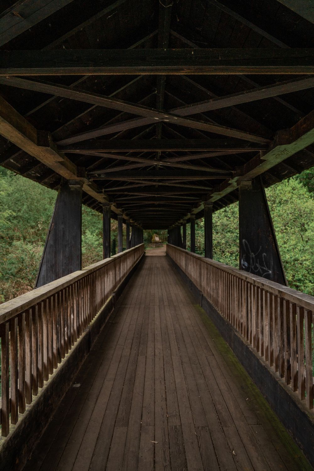
In Weilerbach you come to the beautiful antique bridge called Alfred-Töpfer-Brücke. You cross it and then walk on the German side of the river. In many places you walk on narrow paths. The village of Bollendorf is now in sight. There you cross the bridge and get back to your starting point.
Signposting

Directions
The path starts in Bollendorf-Pont and then leads through a residential area. You go slightly uphill so that you can see forests and open landscapes alternate. Shortly before the village of Weilerbach, you cross the national road N10. Then you go down into the valley to the Sûre, which makes the border between Luxembourg and Germany.
In Weilerbach you reach the beautiful antique bridge called Alfred-Töpfer-Brücke. You cross it and then walk back on the German side along the Sûre. In many spots you go over narrow paths. The village of Bollendorf is now in sight. There you cross the bridge and get back to your starting point.
Equipment
Sturdy shoes
Journey
Parking: A parking place is located directly at the starting point.


 This website uses technology and content from the Outdooractive Platform.