Description
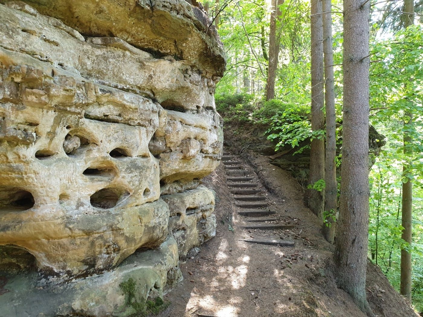
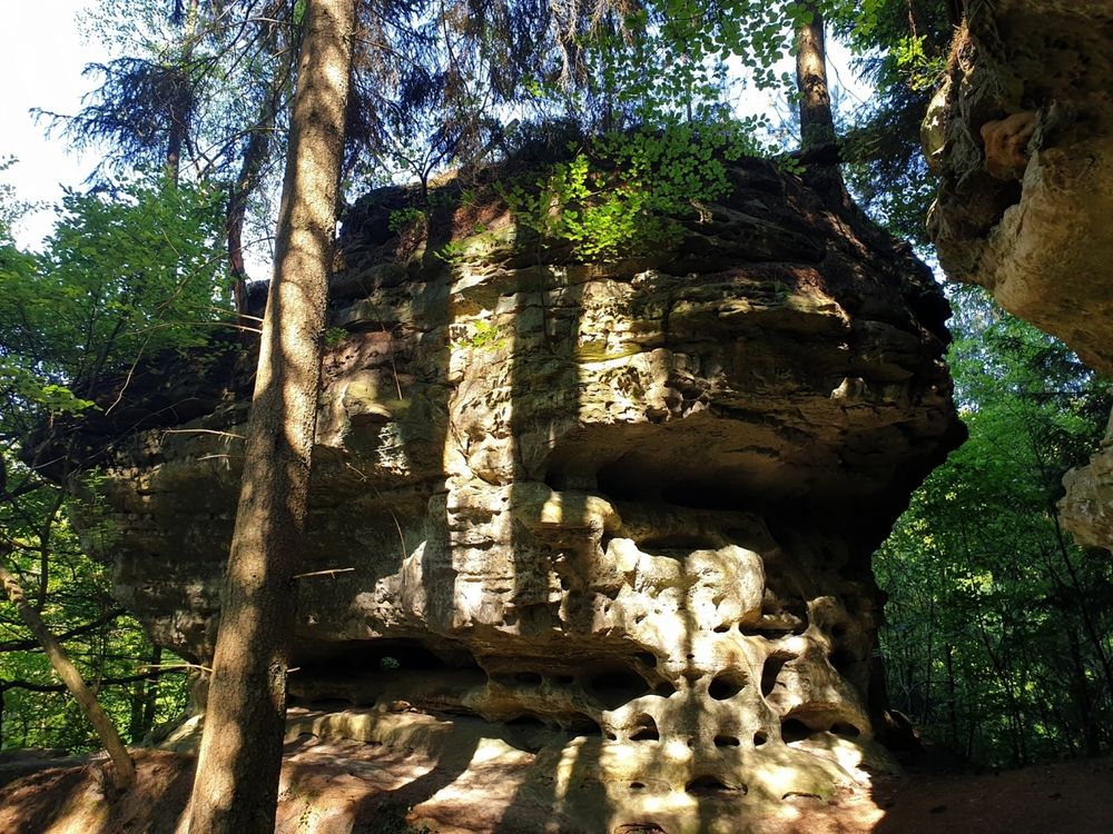
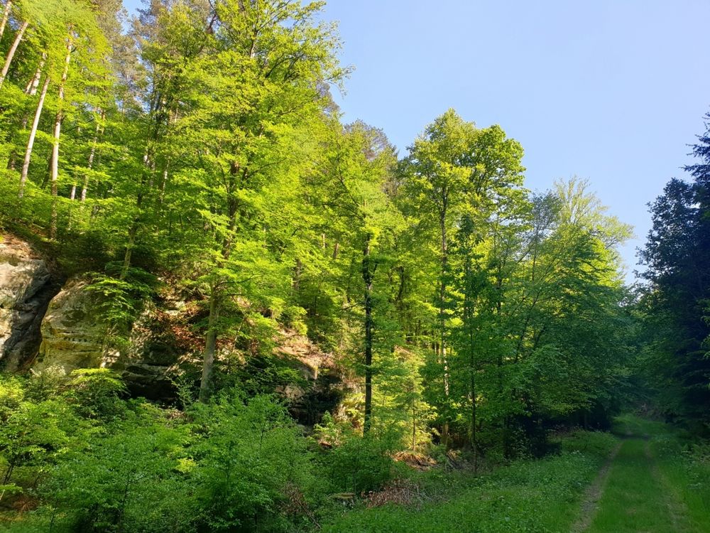
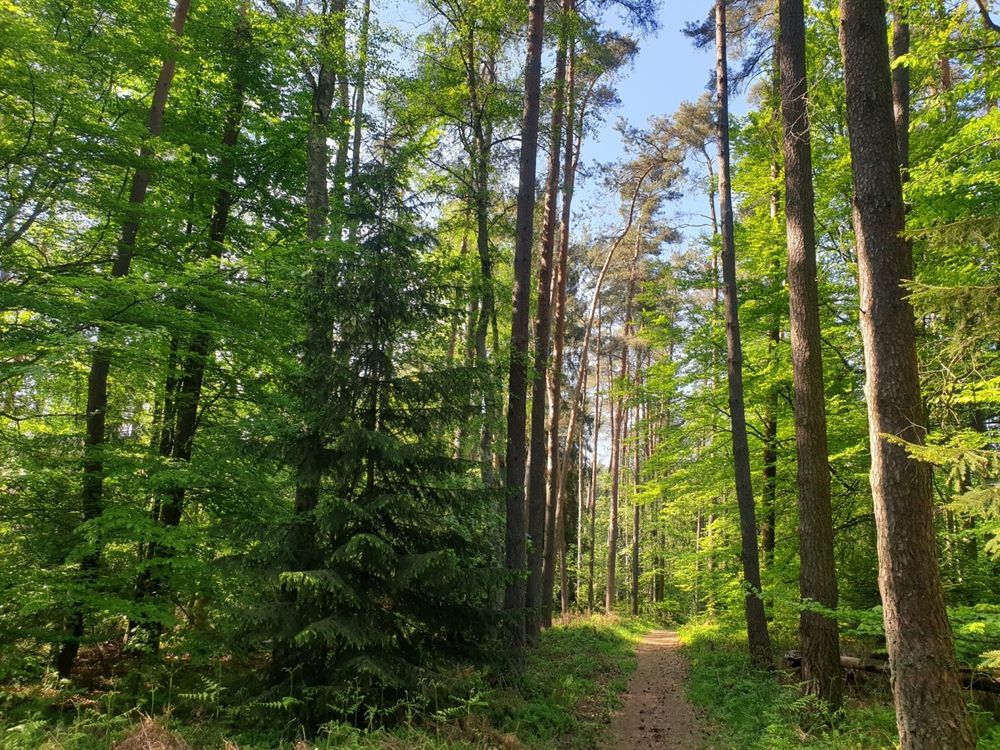
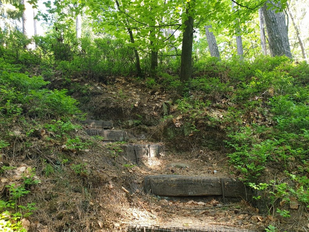
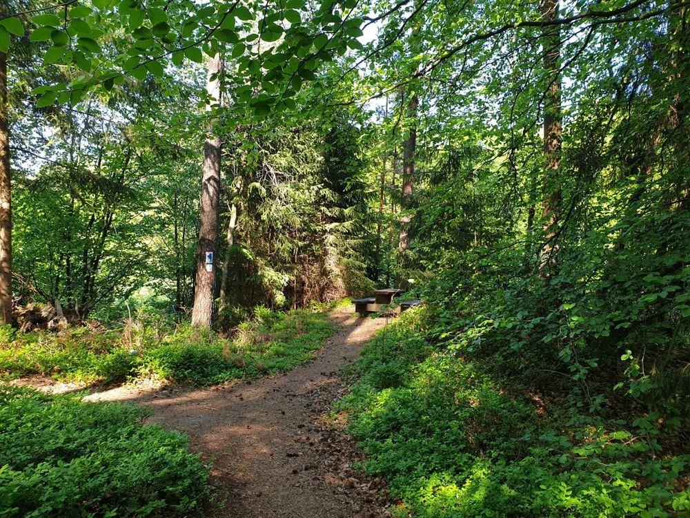
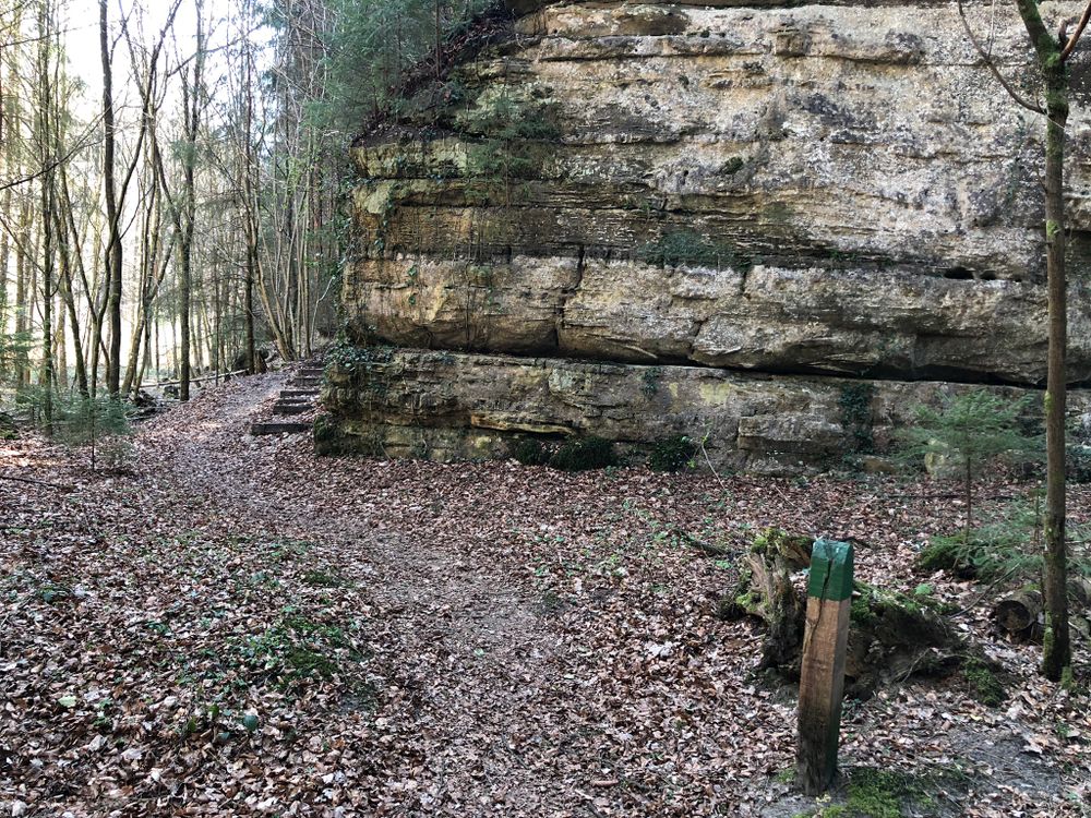
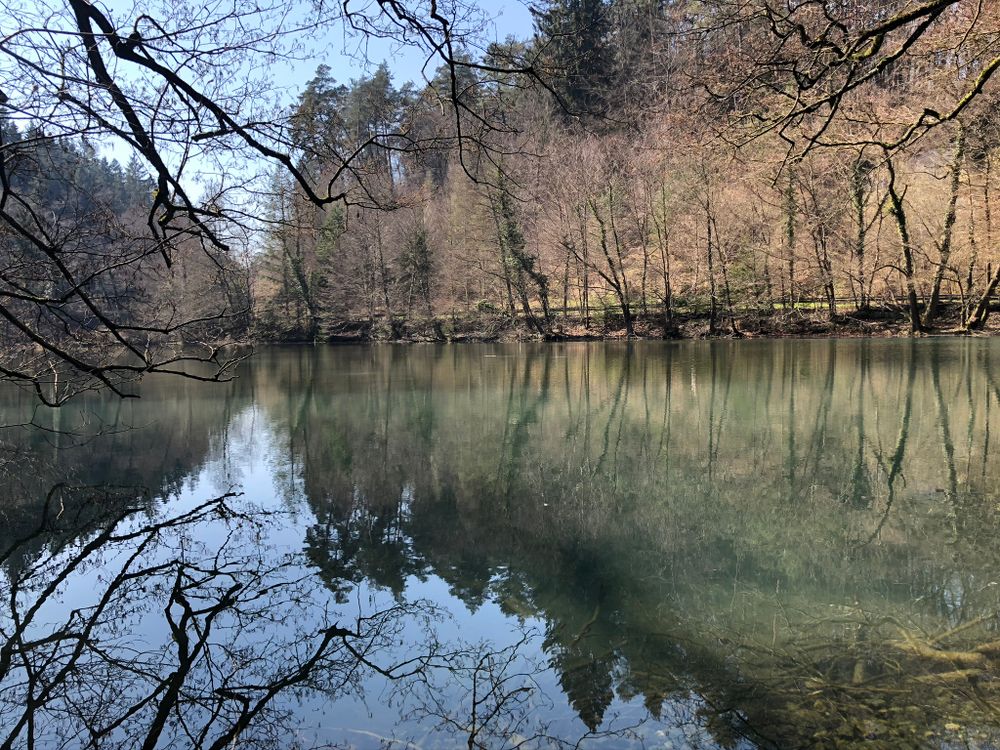
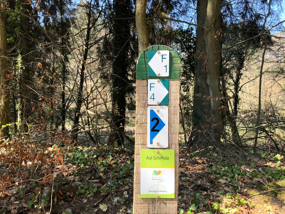
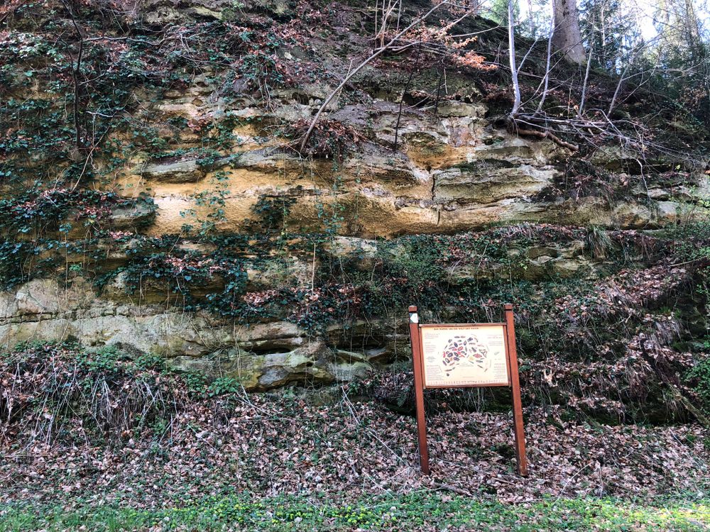
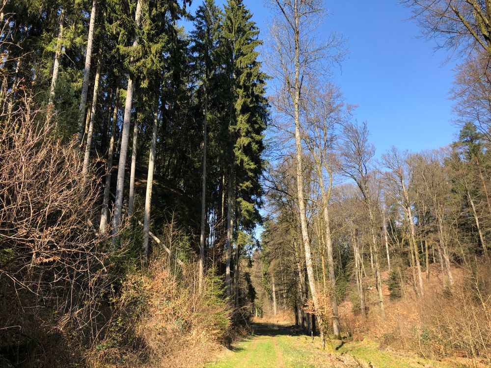
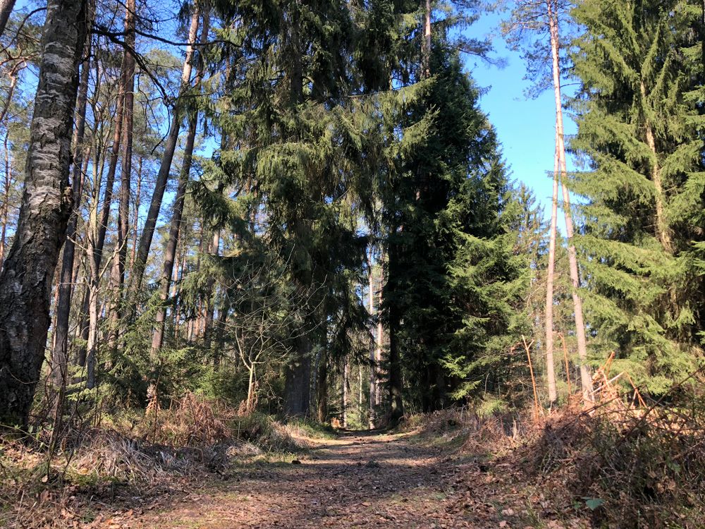
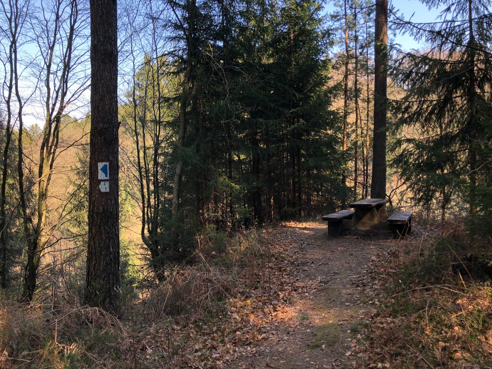
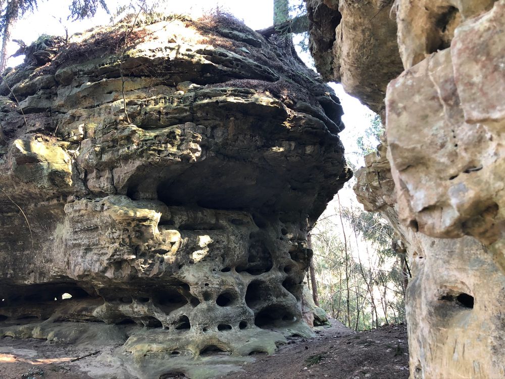
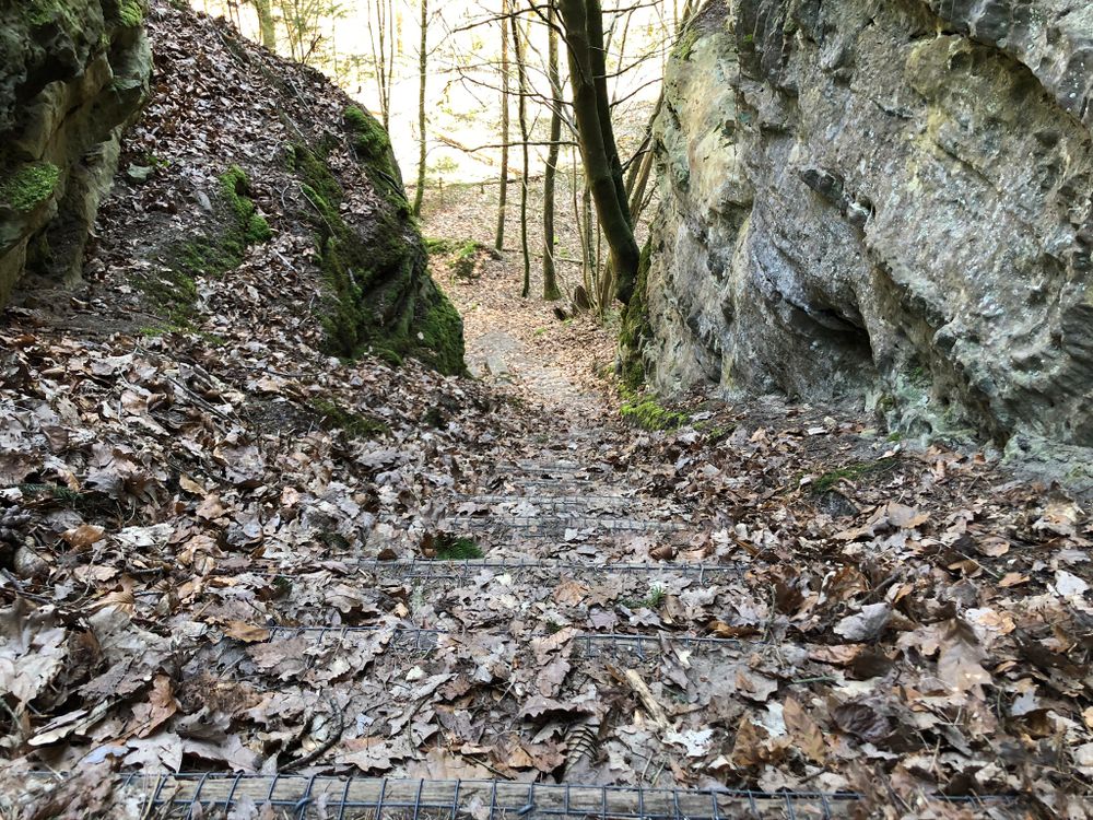
This short, natural and easy hiking trail leads to a special “rocky” highlight south of Fischbach. First the path leads through a forest area called Lëtzebuerger Gronn. After one kilometer you turn right and walk up tot he highest point of the hike called Napolenshutt. The rock with the characteristic appearance offers a resting place halfway up. There are many steep stairs from Napolenshutt back down into the valley, so be careful. Then you get back to your starting point.
In Fischbach you have the opportunity to spend a day fishing at the beautiful ponds.
If you are interested in fishing, please contact the R&S Fishing team, robert@rsfishing.lu or by phone (+352) 26 32 20 71 or (+352) 621 18 83 80 (mobile). The restaurant's toilets can also be used by hikers.
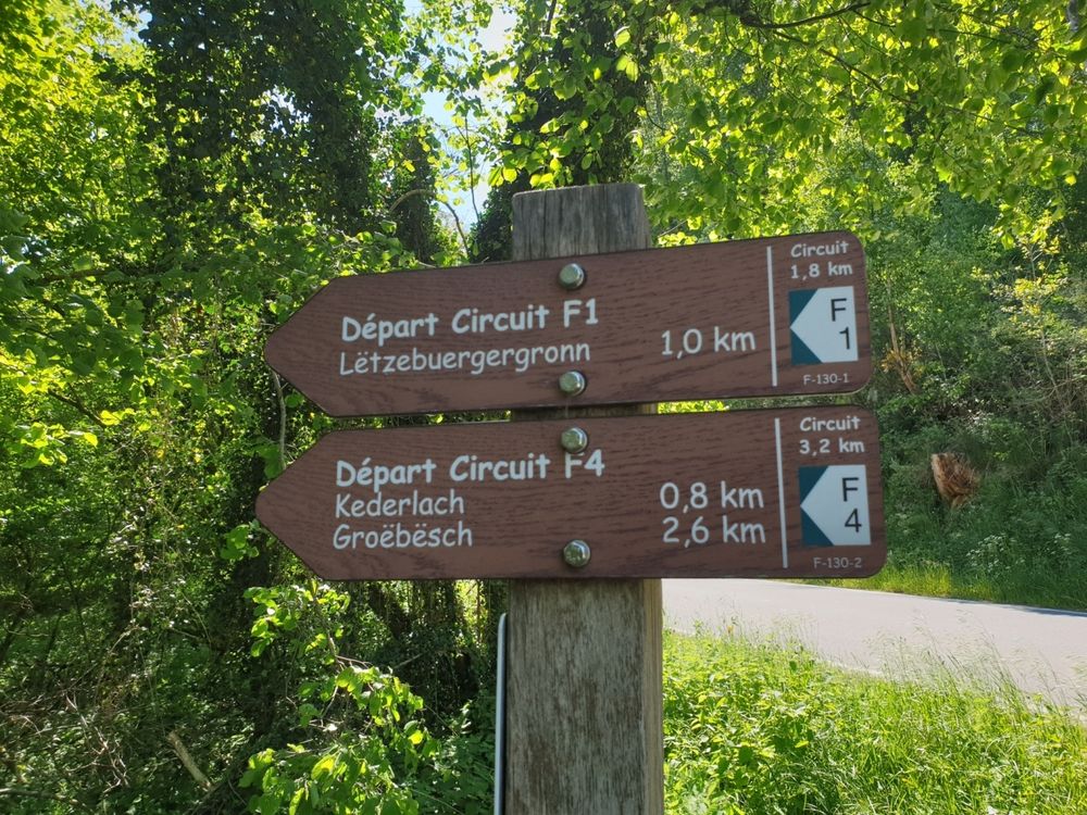
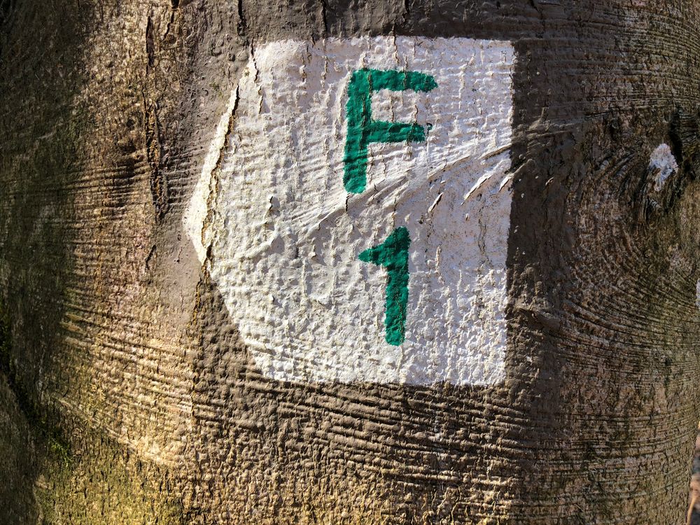
Signposting

Equipment
Journey
Getting there: From Echternach via E29, N14, CR128, CR119, CR125.
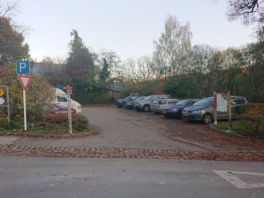
Parking: A parking place is located in the city centre (500 m).


 This website uses technology and content from the Outdooractive Platform.