© Visit Luxembourg
Müllerthal Germany France

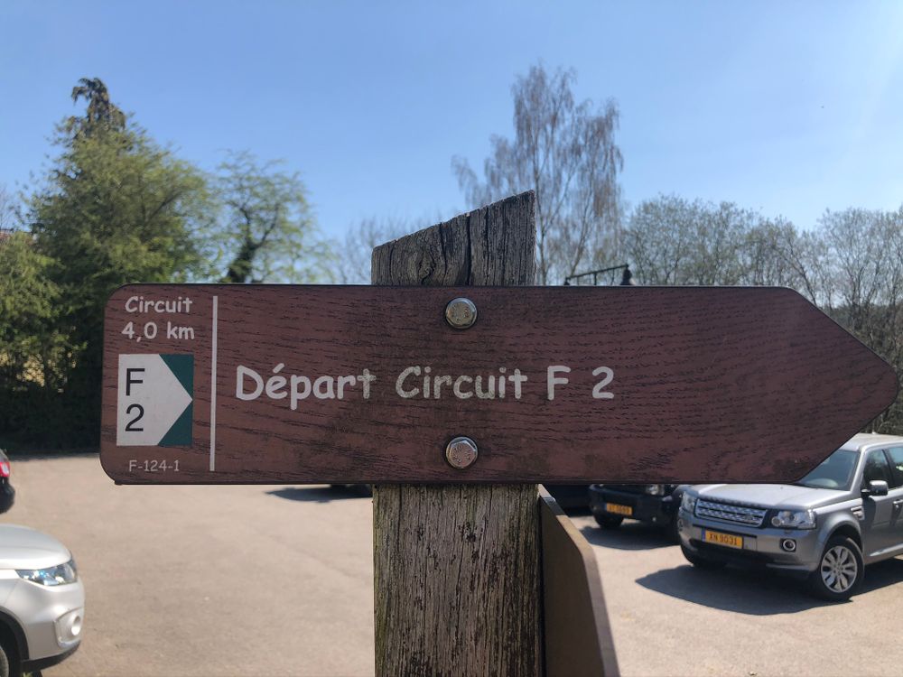
Local hiking trail - F2

Hunting Season 2024/25 — Check for hunts before hiking

Autumn is here, and that means hunting season has begun! From mid-October to January/February, hunters are active across the country. Stay safe by checking hunt dates in your area on our Map. 

Click on Map in the Header > Services > More > Hunting.

Starting point
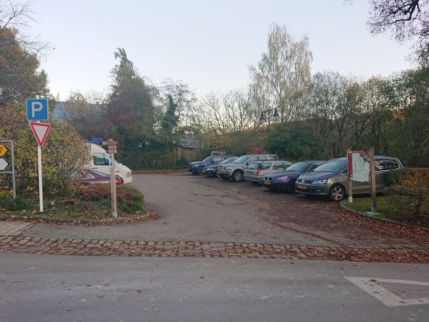
Fischbach: Car park below town hall
Destination
Fischbach: Car park below town hall
Distance
4,10 km
Duration
1:13 h
Difficulty
medium
  • Condition
Highest point
385 Hm
Lowest point
308 Hm
Aggregated Ascent
80 Hm
Aggregated Descent
80 Hm
Circular routes Visit Luxembourg

Description

Kids & Family Scenic Refreshment stops available Dog-friendly
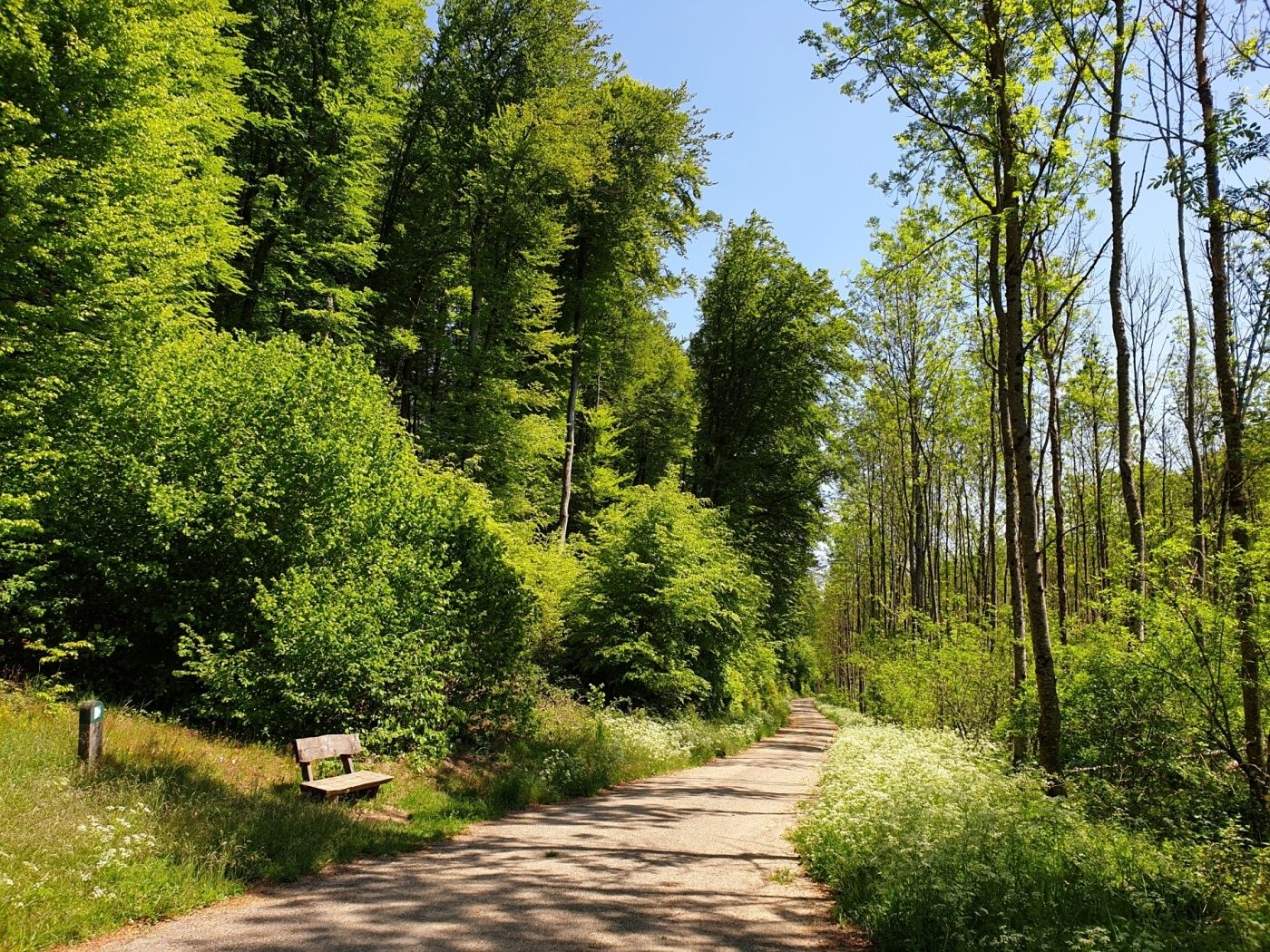
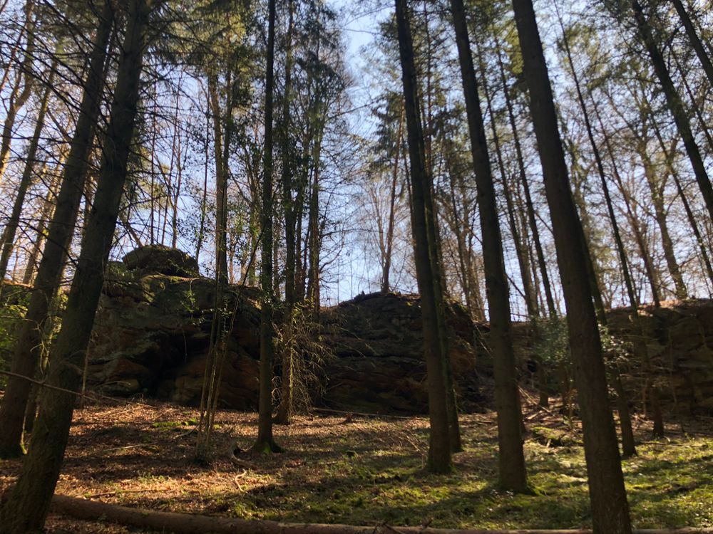
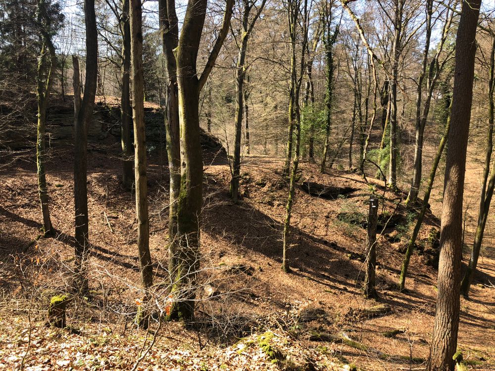
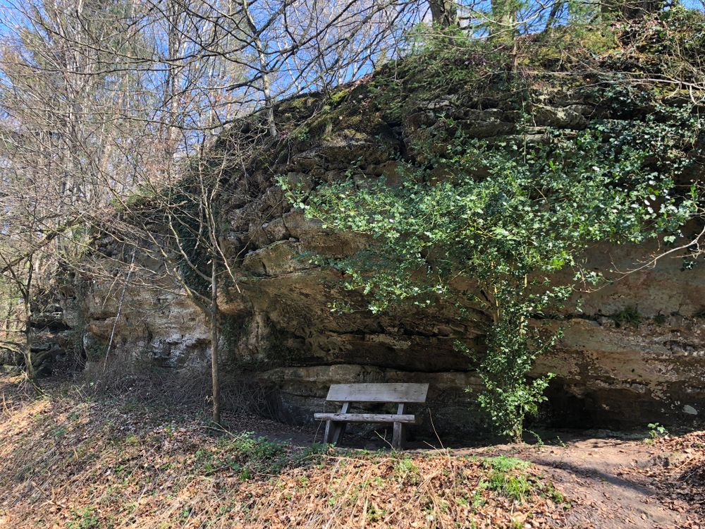
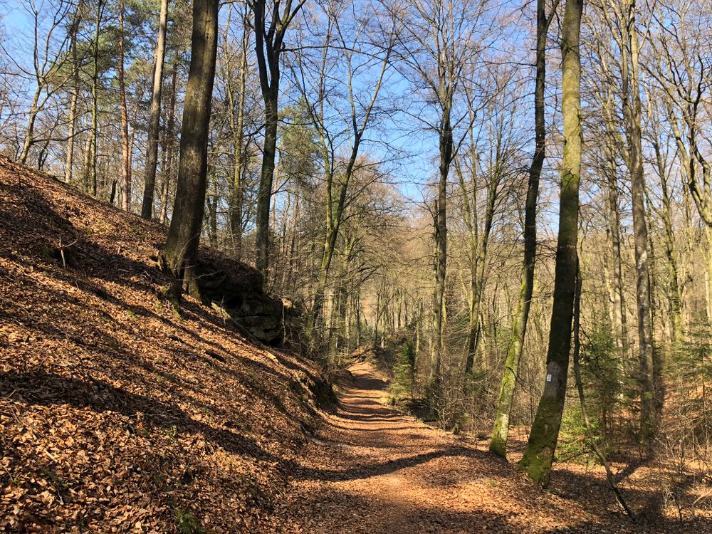
A short hike through the forest in Fischbach.

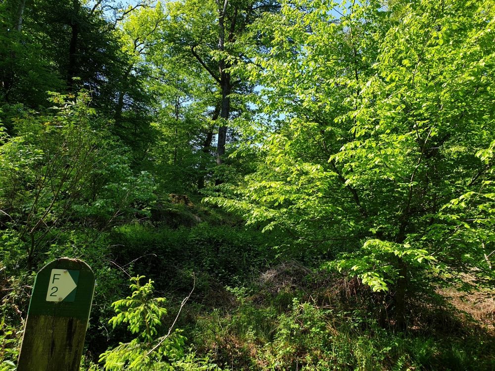
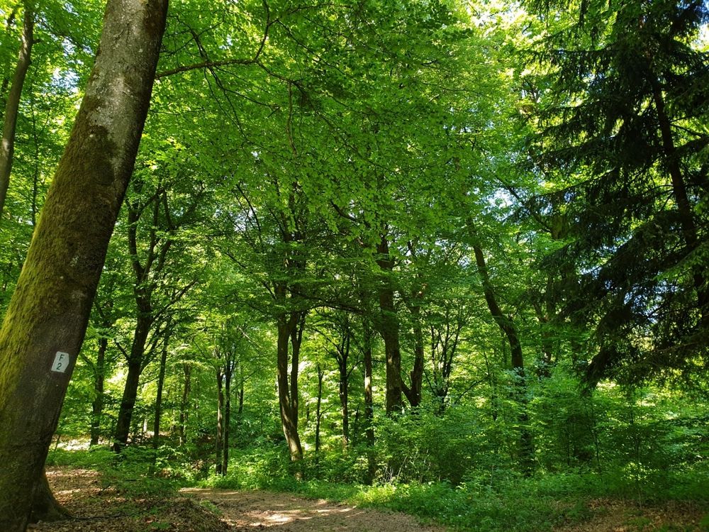
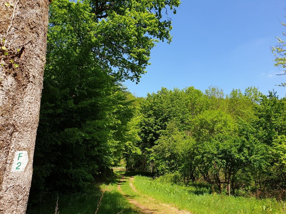
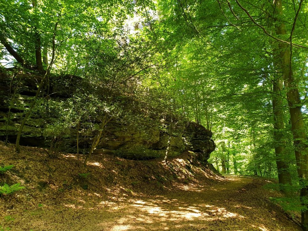
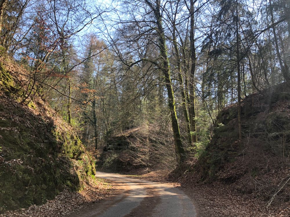
The short wooded hiking trail starts in Fischbach and after a short passage along the road you turn right into the woods. You walk upwards on a quiet forest path. The path winds through the forest, a passage which you will purely enjoy. After the descent down into Schiechtegronn you get back through the valley to your starting point.

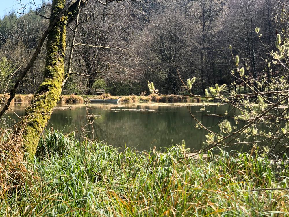
In Fischbach you have the opportunity to spend a day fishing at the beautiful ponds. The restaurant's toilets can also be used by hikers.
If you are interested in fishing, please contact the R&S Fishing team, robert@rsfishing.lu or by phone (+352) 26 32 20 71 or (+352) 621 18 83 80 (mobile).


Suggestions nearby

Local hiking trail - F2

  • Parking - Fischbach Village
    Parking - Fischbach Village
    Find out more
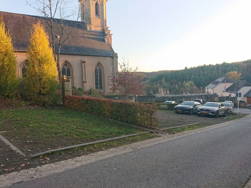
  • Parking - Fischbach Church
    Parking - Fischbach Church
    Find out more

Similar hiking tours

© Pancake! Photography, Visit Luxembourg
Circular routes
Local hiking trail Lintgen - Li1
Distance: 8,05 km
Duration: 2:20 h
Difficulty: medium
Find out more
© Jeniska Photography, Visit Guttland
Guttland.Trails
Guttland.Trail Fuussepad
Distance: 11,61 km
Duration: 3:20 h
Difficulty: medium
Find out more
© Jeniska Photography, Visit Guttland
Guttland.Trails
Guttland.Trail Mamerleeën
Distance: 7,53 km
Duration: 2:25 h
Difficulty: medium
Find out more
© Visit Luxembourg
Circular routes
Nature trail "Mensch & Stein" Beaufort
Distance: 5,83 km
Duration: 2:00 h
Difficulty: medium
Find out more
© Pancake! Photographie, Visit Luxembourg
Thematic paths
Geo-Pad Haupeschbaach and Halerbaach
Distance: 4,94 km
Duration: 2:00 h
Difficulty: medium
Find out more
© Visit Luxembourg
Distance trails
CFL-Bahnwanderweg 2 (Clervaux - Munshausen - Drauffelt)
Distance: 8,71 km
Duration: 2:35 h
Difficulty: medium
Find out more
© Visit Luxembourg
Distance trails
CFL-Bahnwanderweg 5 (Kautenbach - Goebelsmühle)
Distance: 6,41 km
Duration: 1:55 h
Difficulty: medium
Find out more
© Visit Luxembourg
Distance trails
CFL-Bahnwanderweg 4 (Drauffelt - Kautenbach)
Distance: 16,13 km
Duration: 4:50 h
Difficulty: medium
Find out more
© Visit Luxembourg
Distance trails
CFL-Bahnwanderweg 7 (Wiltz - Nocher - Kautenbach)
Distance: 13,10 km
Duration: 4:00 h
Difficulty: medium
Find out more