Description
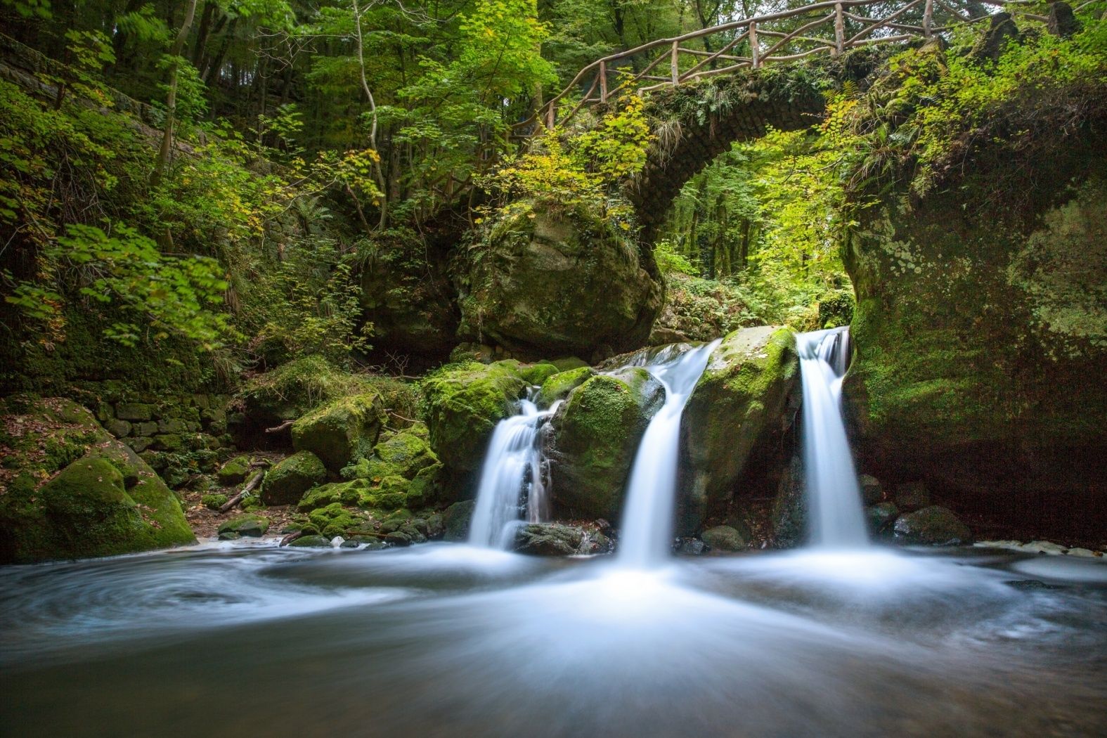
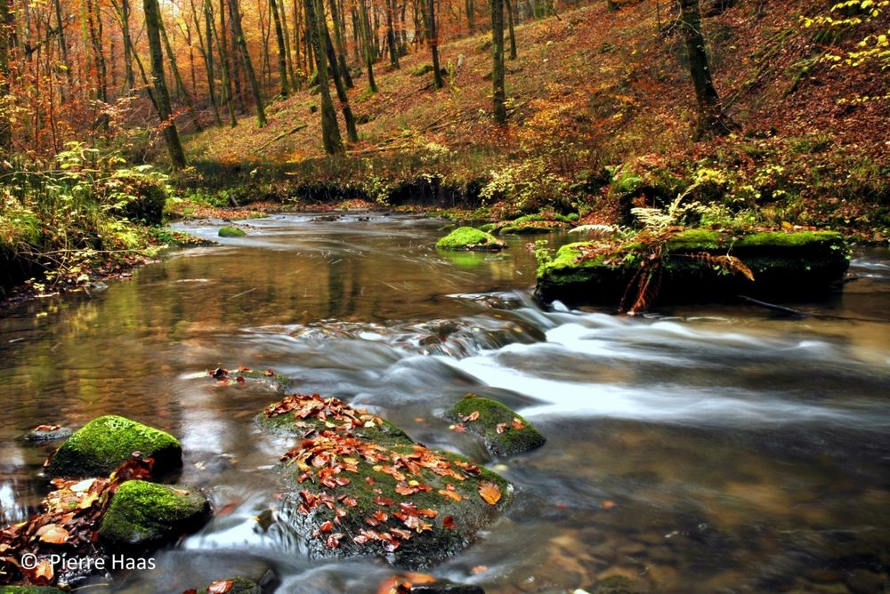
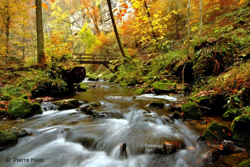
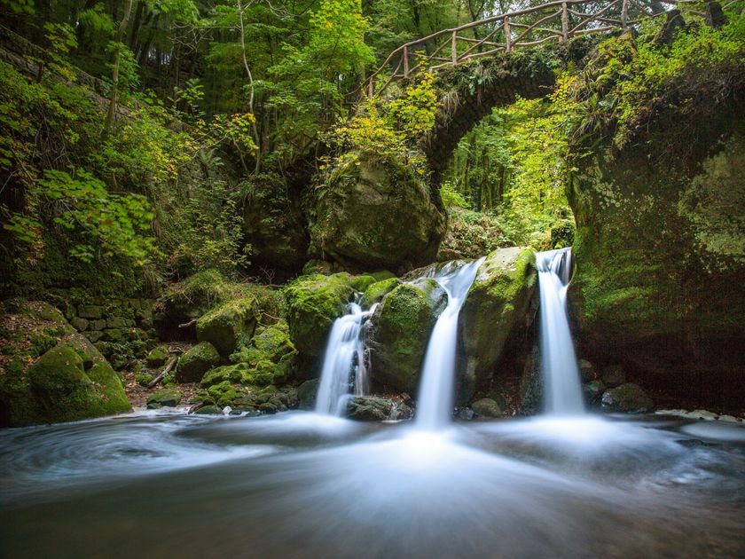
Discover on this trail the highlight of the region: the Schiessentümpel cascade with its romantic bridge.
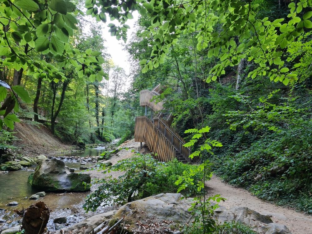
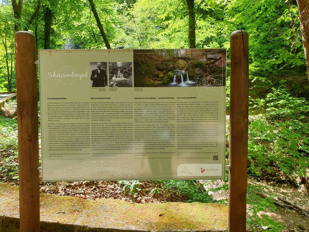
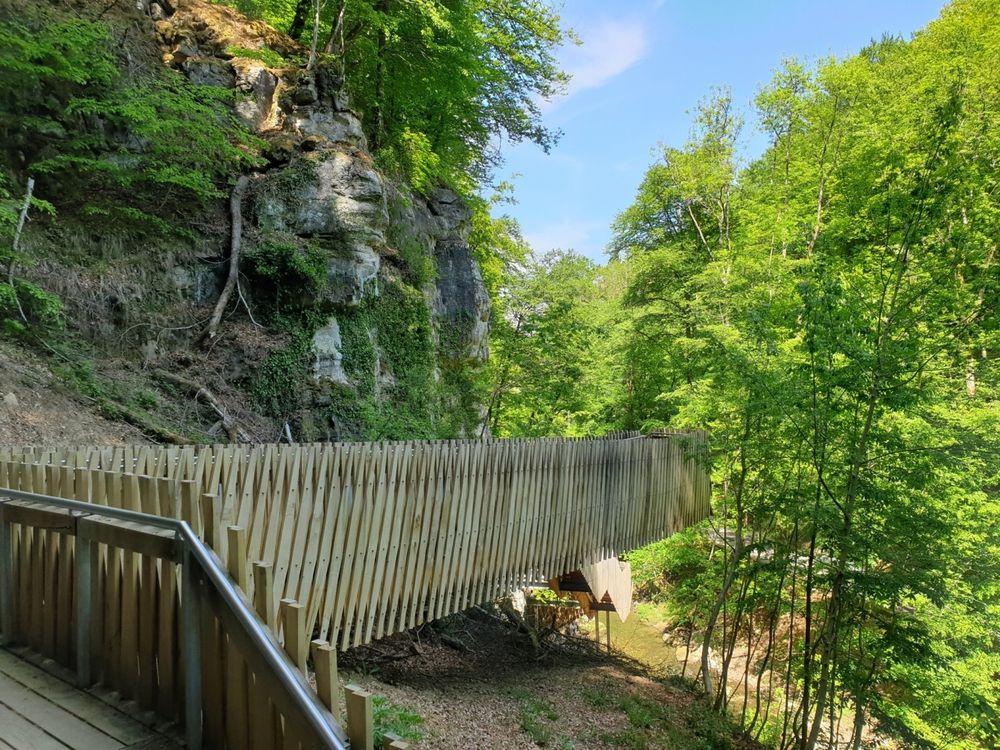
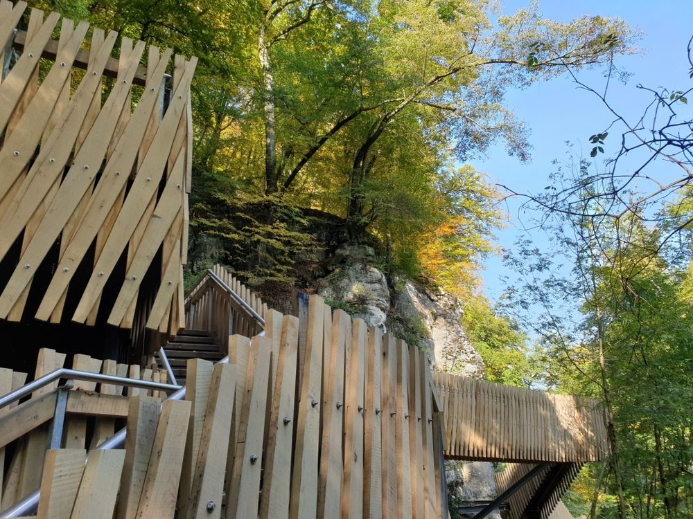
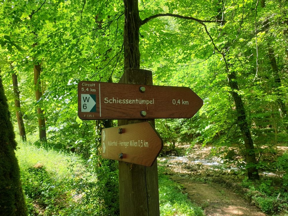
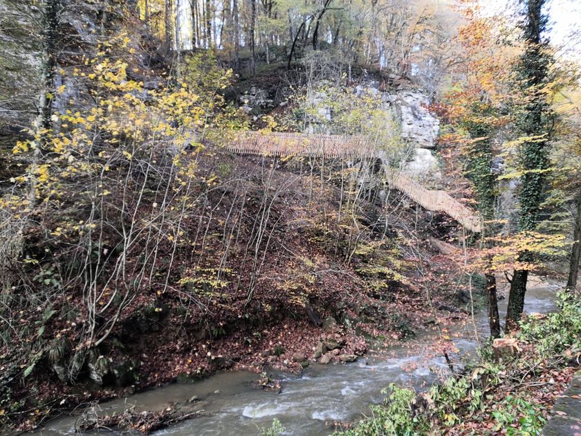
This hiking trail leads to the landmark of the Mullerthal Region - Luxembourg's Little Switzerland: the Schiessentümpel cascade. It is the most popular destination in the region and can best be reached on foot. Behind the Schiessentümpel there is a modern staircase construction, which was built to make the Schiessentümpel accessible again after the severe storms of 2018.
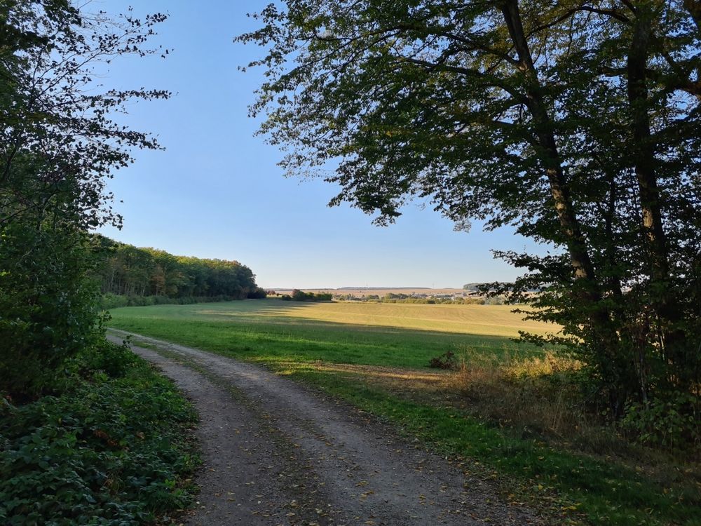
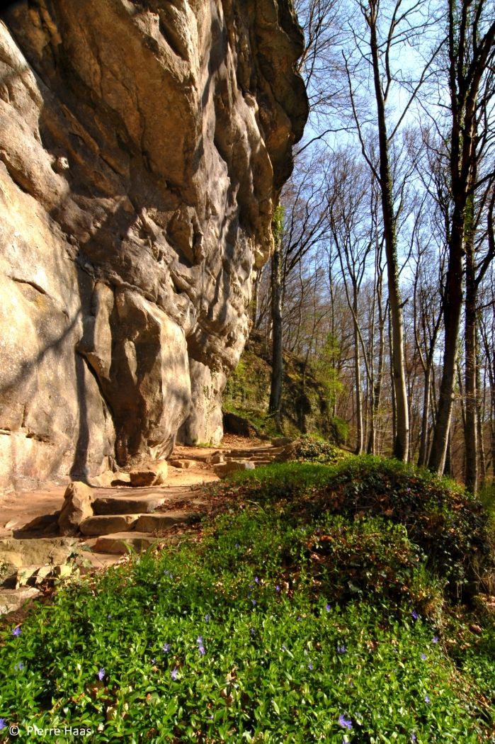
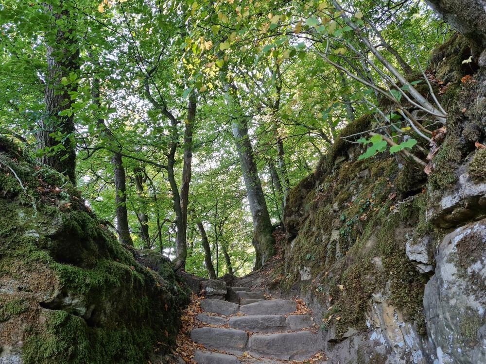
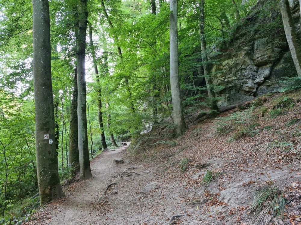
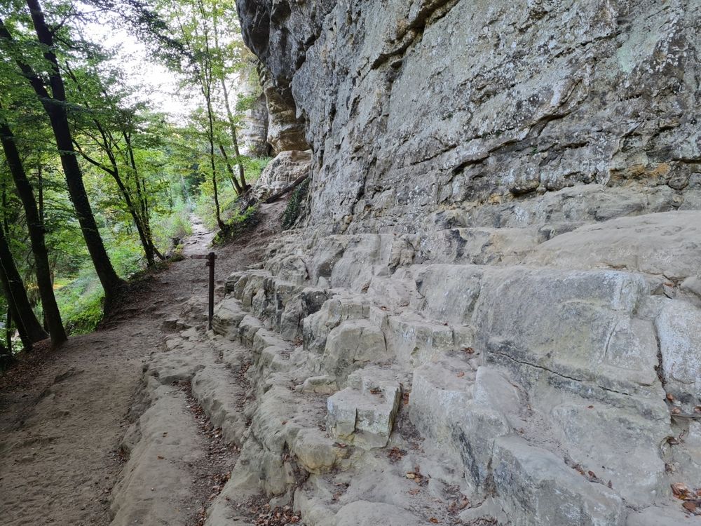
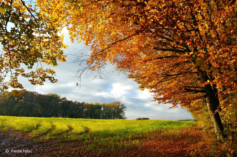
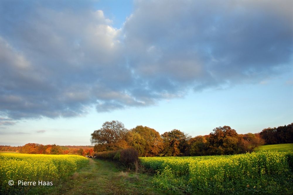
From there, you hike over the plateau between Christnach and Waldbillig, offering you wide views of fields and meadows. The last stretch back to the starting point leads through the forest again, along the imposing sandstone cliffs that are typical of the Mullerthal Region - Luxembourg's Little Switzerland.
Signposting

Directions
You continue on a gentle ascent through the forest to the plateau between Christnach and Waldbillig, where there is a wide view over fields and meadows. Maybe you will watch a game on the Golf of Christnach.
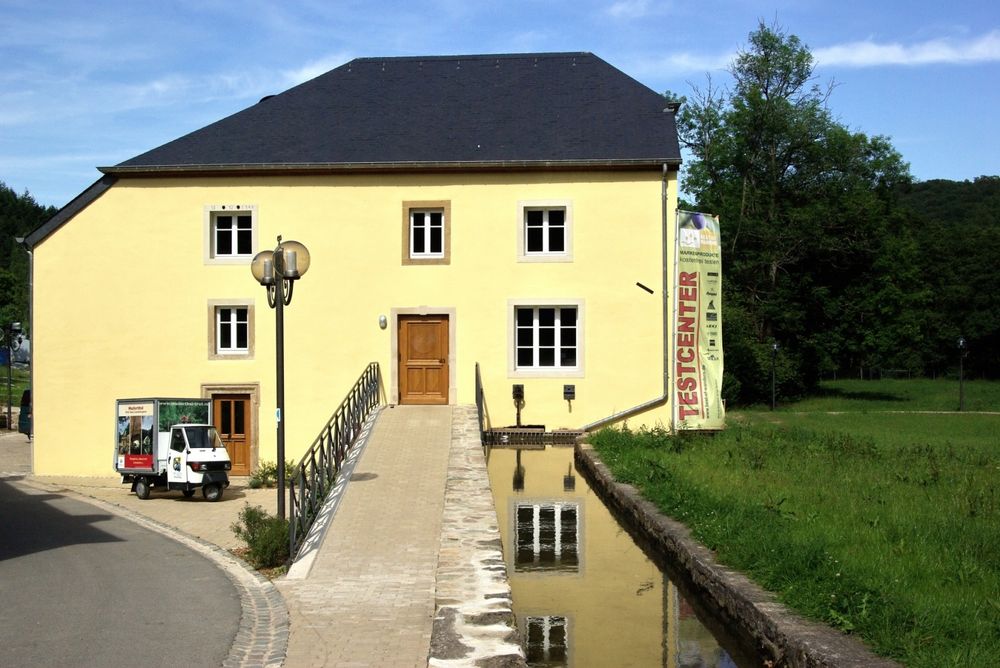
On narrow paths, you return back through the forest to the starting point at Touristcenter Heringer Millen.
Equipment
Journey
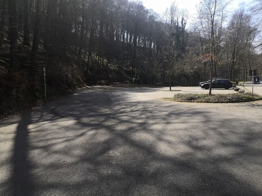
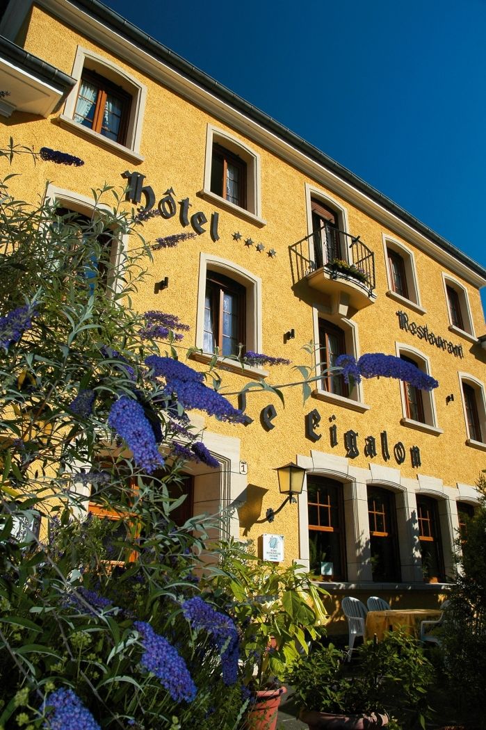
Parking: A parking place is located directly at the starting point.


 This website uses technology and content from the Outdooractive Platform.