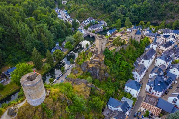
© Pancake! Photographie, Visit Mullerthal
Müllerthal Germany France

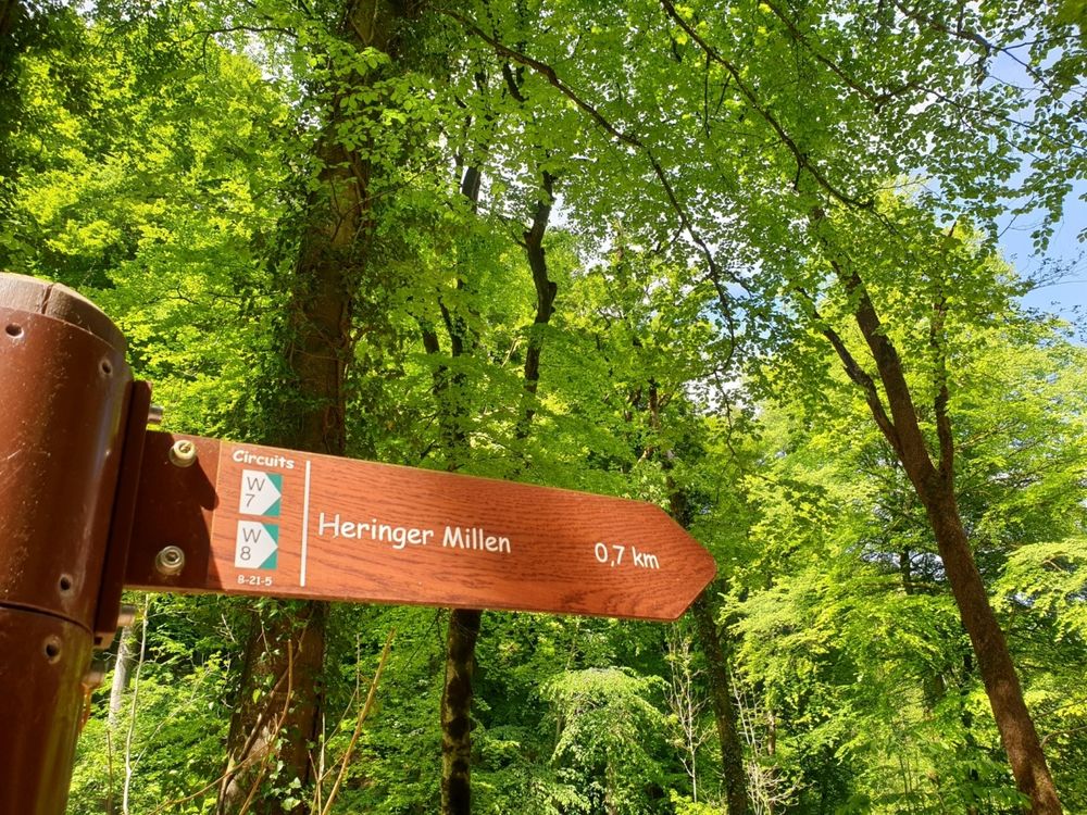
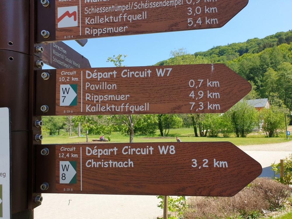
Local hiking trail - W7

Hunting Season 2024/25 — Check for hunts before hiking

Autumn is here, and that means hunting season has begun! From mid-October to January/February, hunters are active across the country. Stay safe by checking hunt dates in your area on our Map. 

Click on Map in the Header > Services > More > Hunting.

Starting point
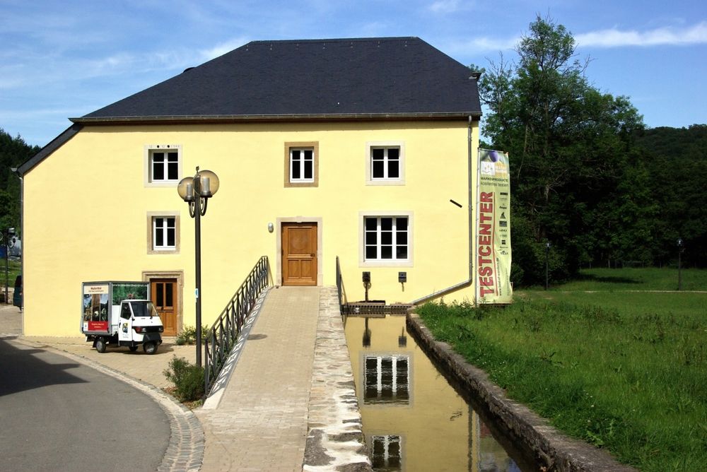
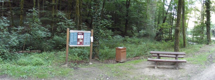
Mullerthal: Touristcenter Heringer Millen
Destination
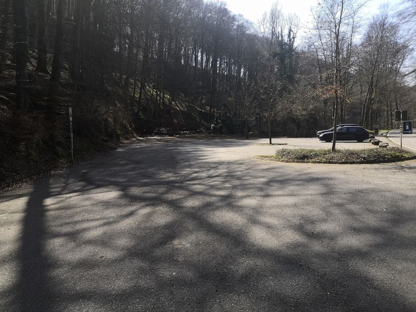
Mullerthal: Touristcenter Heringer Millen
Distance
11,06 km
Duration
3:20 h
Difficulty
medium
  • Condition
Highest point
361 Hm
Lowest point
209 Hm
Aggregated Ascent
249 Hm
Aggregated Descent
249 Hm
Circular routes Visit Luxembourg

Description

Kids & Family Scenic Refreshment stops available Dog-friendly

Attention! Due to ongoing constructions works, a deviation is currently active. Please respect the indications on site. 


Picturesque hike through the heart of the Mullerthal Region.

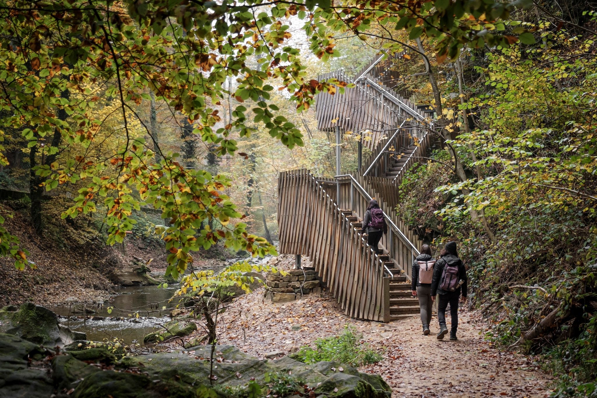
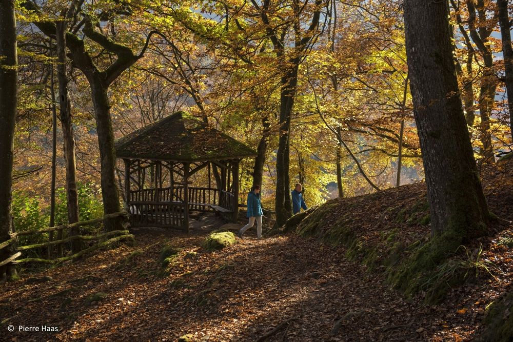
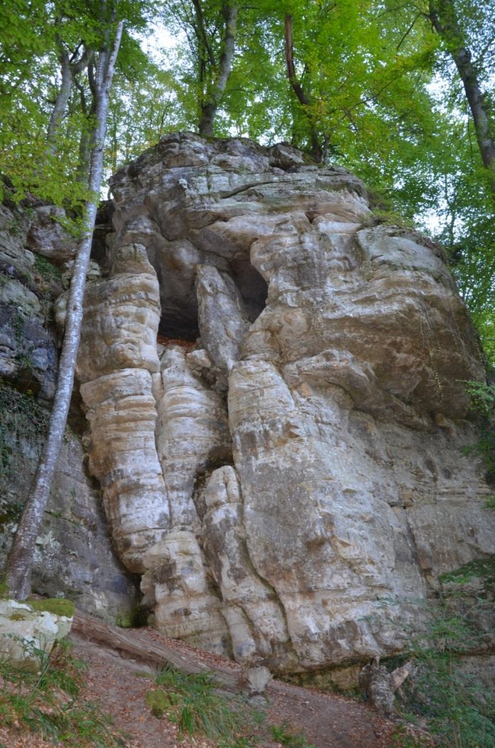
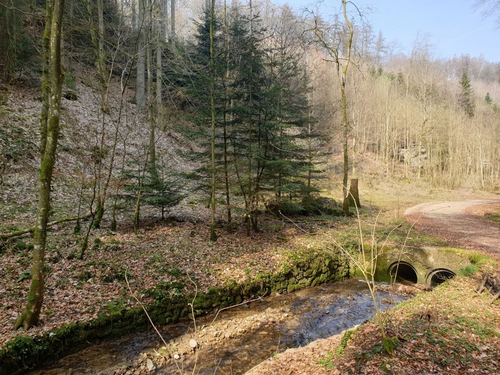
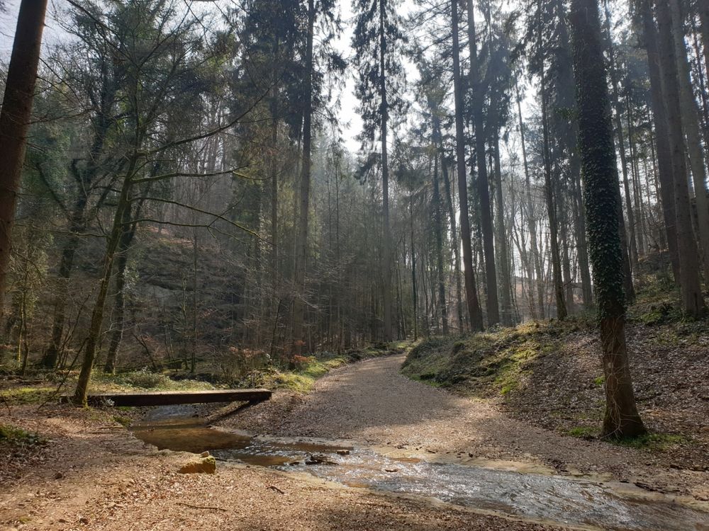
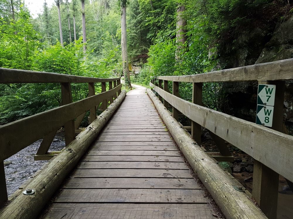
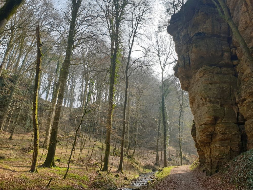
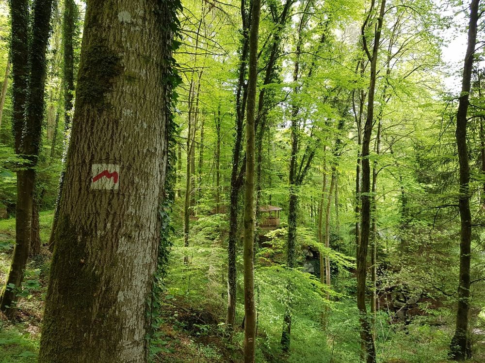
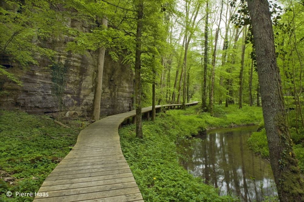
This hike starts with a steep climb to a wooden cottage in the forest. You continue on narrow paths along numerous rock formations and bubbling streams.

The second half of the hike offers one highlight after the other. After a descent through the forest, you reach the Black Ernz and pass the place where the skeleton of the Loschbourmann was found, who lived here around 8000 years ago. 

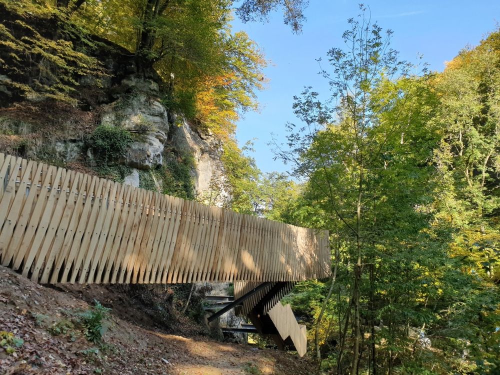
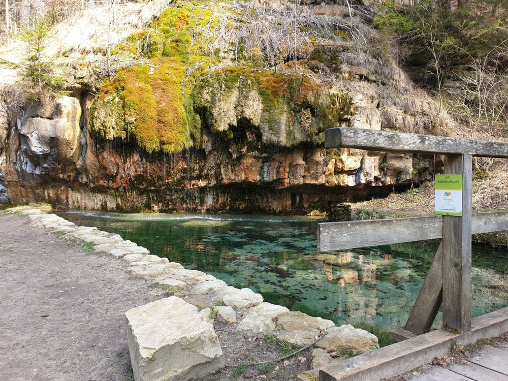
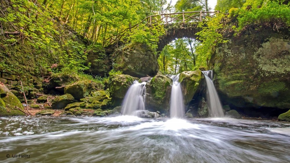
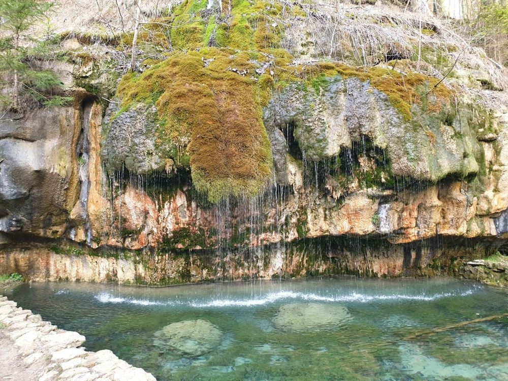
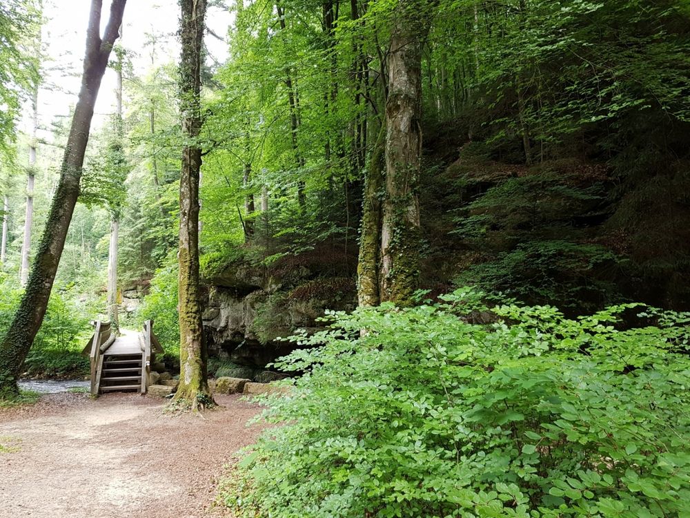
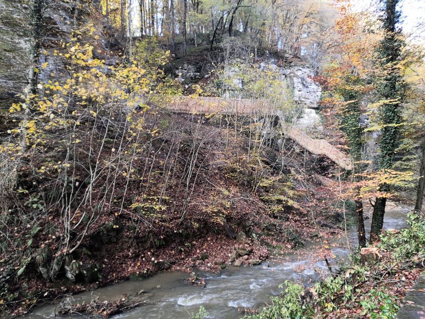
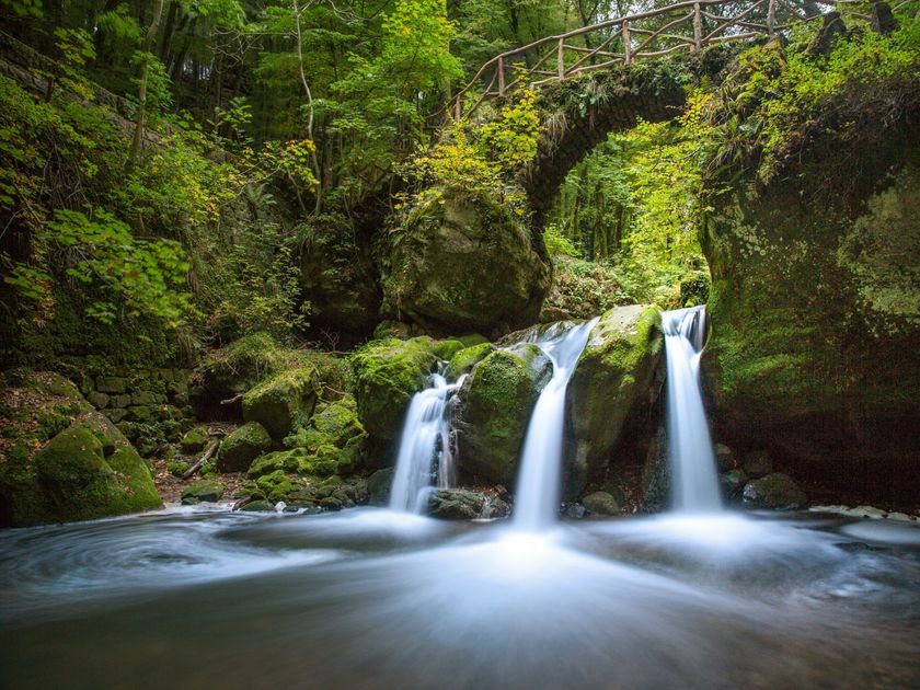
A wooden footbridge takes you to the impressive calcareous tuff spring, where water trickles softly over the rocky outcrop into a crystal-clear pond.  A the end, you come across the most famous motive of the Mullerthal Region - Luxembourg's Little Switzerland, the Schiessentümpel with its picturesque stone bridge over the small waterfall.

Current conditions

Source: Visit Luxembourg, Published: 2022-11-25
Deviation hiking trails Müllerthal Camping Cascades
Notice:

Suggestions nearby

Local hiking trail - W7

  • Schiessentümpel / Schéissendëmpel waterfall
    Schiessentümpel / Schéissendëmpel waterfall
    Find out more
  • Trap - Schiessentümpel staircase
    Trap - Schiessentümpel staircase
    Find out more
  • Parking - Schiessentümpel
    Parking Schiessentümpel
    Find out more
  • Picnic area Loschbur
    Picnic area Loschbur
    Find out more
  • © Heringer Mille
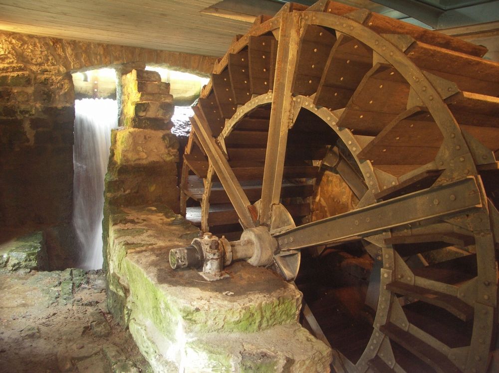
    Touristcenter "Heringer Millen"
    Touristcenter "Heringer Millen"
    Find out more
  • Travertine source Kallektuffquell
    Travertine source Kallektuffquell
    Find out more

Similar hiking tours

© Visit Luxembourg
Circular routes
Auto-Pédestre trail Heiderscheid
Distance: 7,97 km
Duration: 2:25 h
Difficulty: medium
Find out more
© Fränk Weber, Studio Frank Weber
Circular routes
Auto-Pédestre trail Bourscheid
Distance: 5,88 km
Duration: 2:00 h
Difficulty: medium
Find out more
© Visit Luxembourg
Circular routes
Auto-Pédestre trail Munshausen
Distance: 8,68 km
Duration: 2:45 h
Difficulty: medium
Find out more
© Visit Luxembourg
Circular routes
Auto-Pédestre trail Lieler
Distance: 7,85 km
Duration: 2:15 h
Difficulty: medium
Find out more
© Visit Luxembourg
Circular routes
Auto-Pédestre trail Colmar-Berg
Distance: 7,24 km
Duration: 2:00 h
Difficulty: medium
Find out more
© Visit Luxembourg
Circular routes
Auto-Pédestre trail Roder
Distance: 7,64 km
Duration: 2:30 h
Difficulty: medium
Find out more
© Visit Éislek, Visit Éislek
Circular routes
Auto-Pédestre trail Esch-Sur-Sûre
Distance: 9,72 km
Duration: 3:10 h
Difficulty: medium
Find out more
© Visit Luxembourg
Circular routes
Auto-Pédestre trail Holtz
Distance: 8,92 km
Duration: 2:30 h
Difficulty: medium
Find out more
© Visit Luxembourg
Circular routes
Auto-Pédestre trail Arsdorf
Distance: 11,05 km
Duration: 3:10 h
Difficulty: medium
Find out more