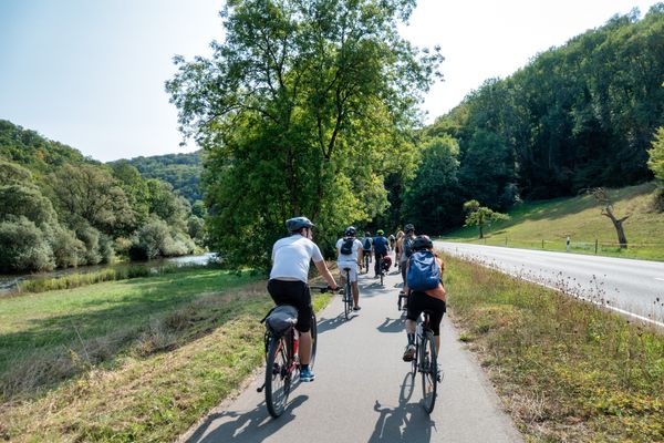
© Emile Hengen , ORT SUD
Minett Germany France

Minett Cycle Preview: Segment Belvaux-Tétange

Hunting Season 2024/25 — Check for hunts before hiking

Autumn is here, and that means hunting season has begun! From mid-October to January/February, hunters are active across the country. Stay safe by checking hunt dates in your area on our Map. 

Click on Map in the Header > Services > More > Hunting.

Starting point
Rue de France, Belvaux
Destination
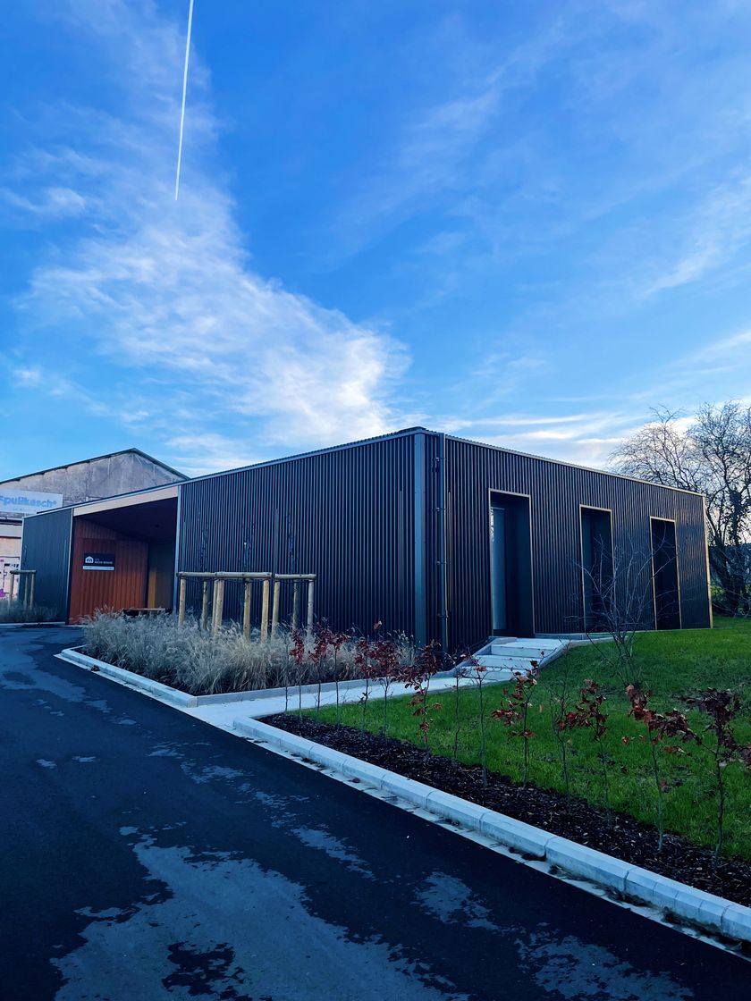
Parking "Schungfabrik", 32 Rue des Martyrs, 3786 Kayl
Distance
19,05 km
Duration
1:30 h
Difficulty
difficult
  • Condition
  • Technique
Highest point
421 Hm
Lowest point
285 Hm
Aggregated Ascent
141 Hm
Aggregated Descent
197 Hm
Cycling Tours Visit Luxembourg

Description

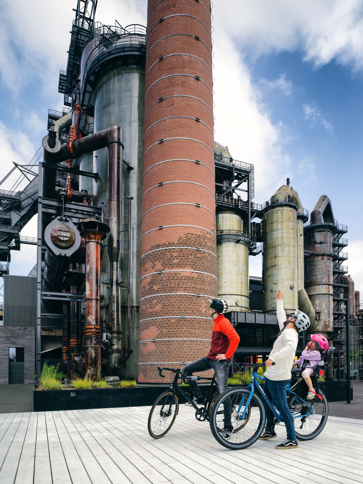
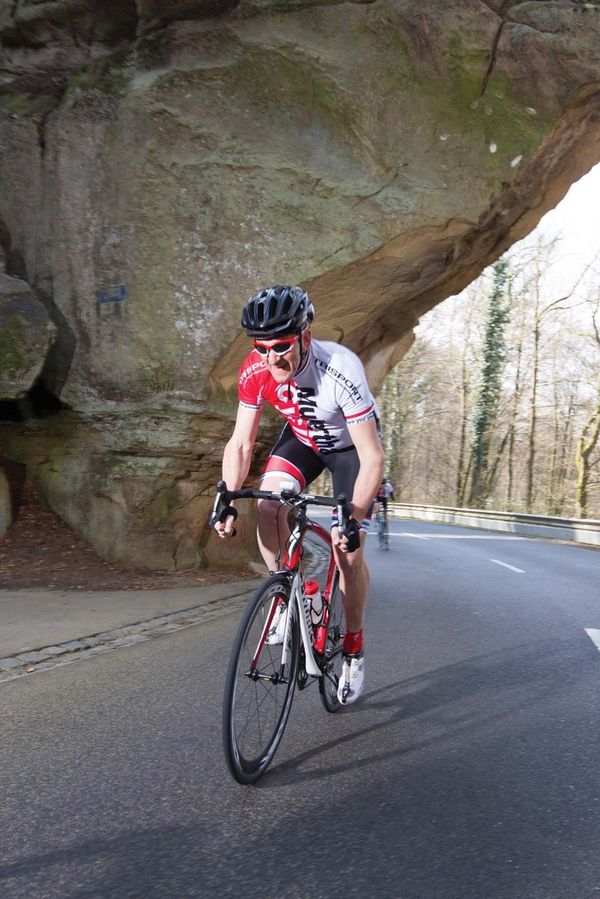
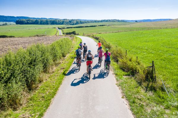
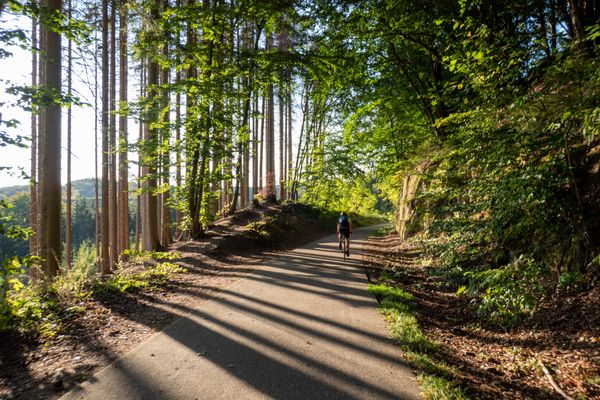
Drive through the southernmost section of the upcoming "Minett Cycle" on the route of the PC8 between Belvaux and Tétange.

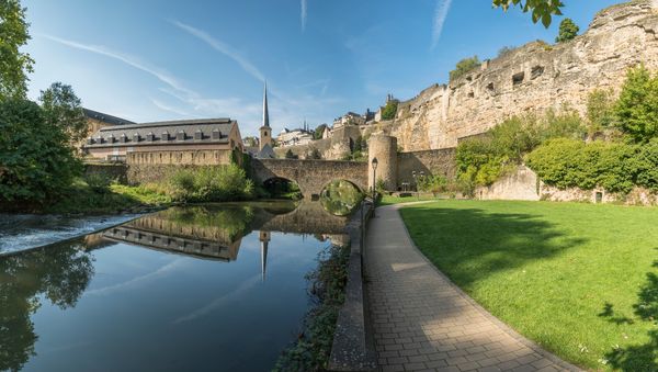
In the south of Luxembourg lies the Minett region, the land of the red soil (Terre rouge), named after the ore-bearing rock in the soil, which also colors it red. In the future, a coherent, fully signposted bicycle tour will lead through the entire region: the "Minett Cycle". After 2023, a total of 150 kilometers (divided into three loops) of bicycle infrastructure should invite you to discover them.

Until then, you can already ride sections of the future "Minett Cycle" and discover sections of the unique Minett region. On this section, the path between Belvaux and Tétange leads over "Piste Cyclable" number 8 and thus also along the border with France (and even through French territory for a few meters). Past the new district of Esch-Belval, through Esch-sur-Alzette and the Ellergronn nature reserve, past the "Leiffrächen" and the national miners' monument to the border in Rumelange. The route then leads to the "Schungfabrik" and the "Musée vun der Aarbecht" (MUAR) in Kayl. 

Suggestions nearby

Minett Cycle Preview: Segment Belvaux-Tétange

  • Konschthal Esch
    Espace d'art contemporain
    Find out more
  • © Ville d'Esch
    Museum of the Cockerill Mine at Ellergronn
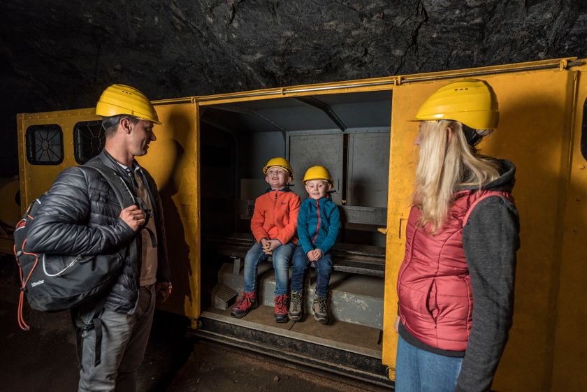
    Exceptional legacy from the mining era
    Find out more
  • © Pulsa Pictures ORT Sud
    Nature reserve "Ellergronn"
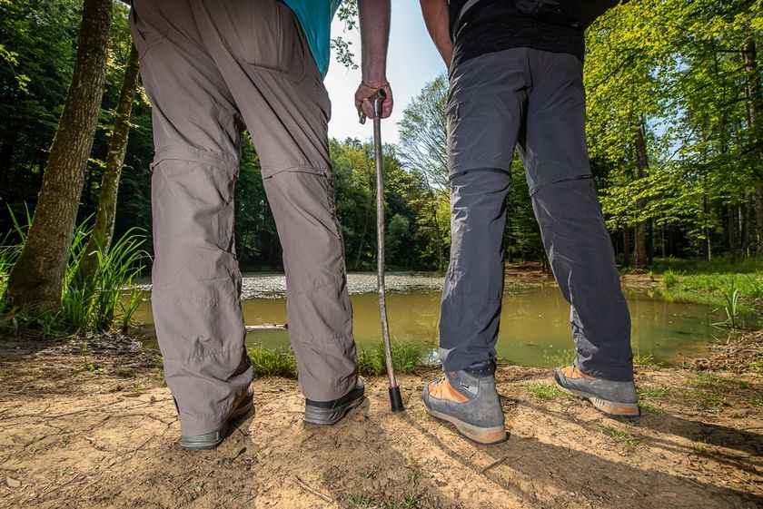
    From mining to nature reserve
    Find out more
  • © Pulsa Pictures_ORT Sud
    National Miners Monument
    Remembering the miners of Luxembourg.
    Find out more
  • © Pulsa Pictures - ORT SUD
    Nature reserve Léiffrächen
    Discover how the iron ore exploitation has lef its marks on the region and its nature
    Find out more
  • © Emile Hengen
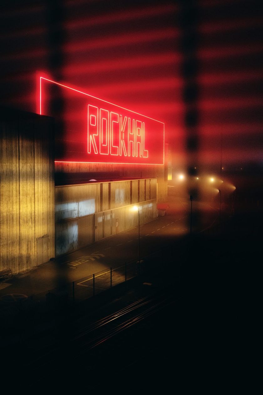
    Rockhal
    The concert hall you don’t want to miss!
    Find out more
  • © Ville d'Esch
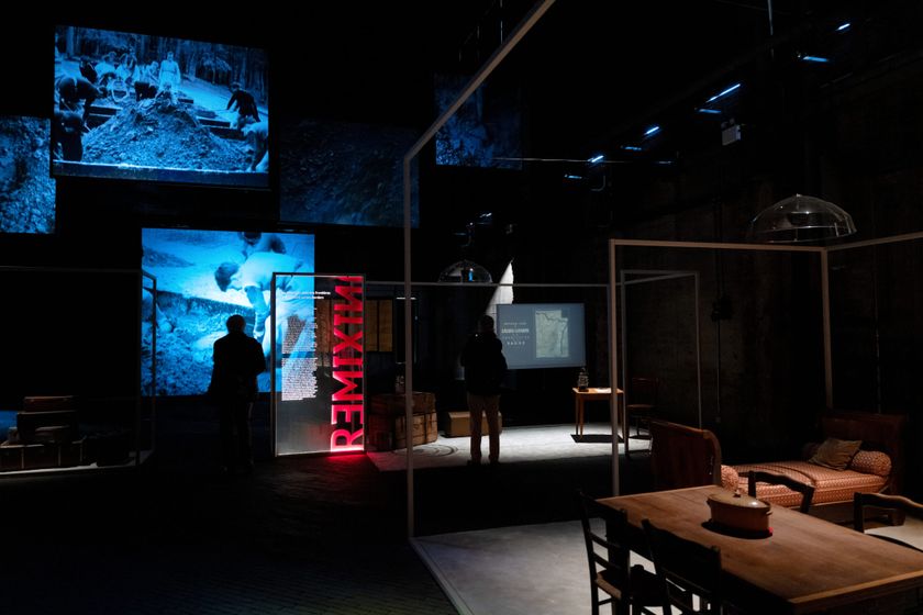
    Le Fonds Belval - "Massenoire" building
    An exhibition space like no other.
    Find out more
  • © Esch2022
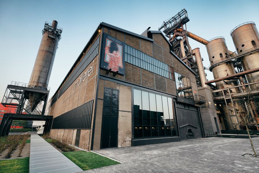
    Le Fonds Belval - "Möllerei" building
    Le Fonds Belval - "Möllerei" building
    Find out more
  • Kabaisercher: Gîte Bieles-Réideng
    Pets allowedAccessibleWifi
  • © ORT SUD
    Léiffrächen
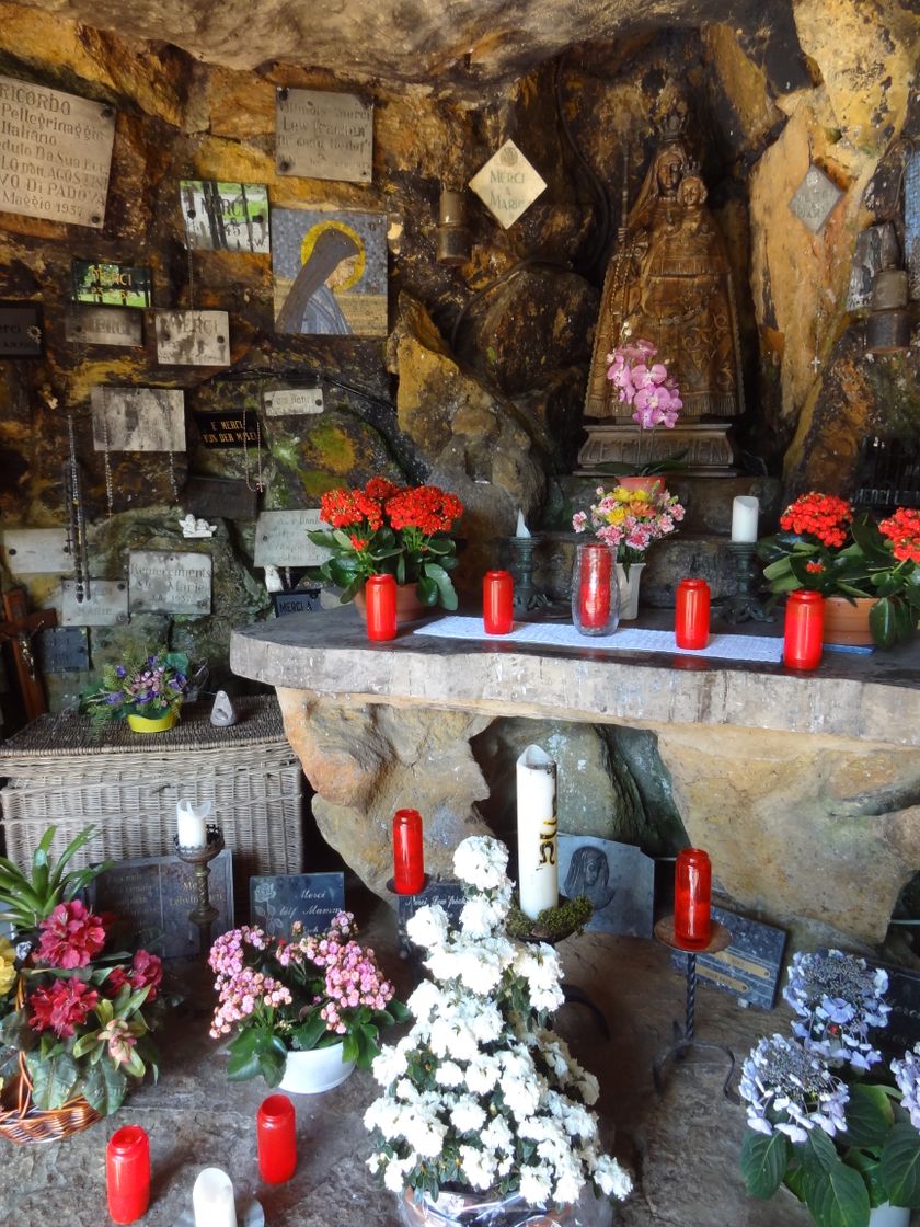
    The "Léiffrächen" in Kayl is a national place of pilgrimage and memorial
    Find out more
  • © Pulsa Pictures_ORT Sud
    free
    with theLuxembourgPass
    National Mining Museum
    Underground at the National Mining Museum
    Find out more

Similar biking tours

© Alfonso Salgueiro
Cycling Tours
EuroVelo 5
Distance: 106,47 km
Duration: 8:40 h
Difficulty: difficult
Find out more
Race bike tours
S5 Charly Gaul B
Distance: 104,64 km
Duration: 7:15 h
Difficulty: difficult
Find out more
Race bike tours
S6 Charly Gaul A
Distance: 163,07 km
Duration: 10:00 h
Difficulty: difficult
Find out more
© Mullerthal Cycling / Lutz, Mullerthal Cycling / Lutz
Race bike tours
S4 Mullerthal X-treme
Distance: 99,31 km
Duration: 7:00 h
Difficulty: difficult
Find out more
© © Ronald Jacobs / ONT, Visit Luxembourg
MTB
Mountain Bike Trail Larochette
Distance: 26,78 km
Duration: 4:00 h
Difficulty: difficult
Find out more
© Tristan Schmurr/ ProVelo, DGT
Cycling Tours
Western Luxembourg
Distance: 84,21 km
Duration: 6:15 h
Difficulty: difficult
Find out more
© Tristan Schmurr, Visit Luxembourg
Cycling Tours
Luxembourg River Tour: On the Banks of the Moselle, Sauer, and Alzette
Distance: 154,17 km
Duration: 11:35 h
Difficulty: difficult
Find out more
© Pulsa Pictures, ORT Sud
MTB
RedRock MTB Trail - "Lalléngerbierg - Gaalgebierg"
Distance: 34,06 km
Duration: 3:20 h
Difficulty: difficult
Find out more
© Pulsa Pictures, ORT Sud
MTB
RedRock MTB Trail - "Haard Black"
Distance: 30,96 km
Duration: 3:45 h
Difficulty: difficult
Find out more