
Napoleonsknäppchen
Where? L-9140 Bourscheid
Discover the eventful history of the ‘Napoleonsknäppchen’ in Bourscheid, where a tree called ‘Napoleonsbeemchen’ was planted. The viewing platform right next to it offers an impressive view of the surrounding area.
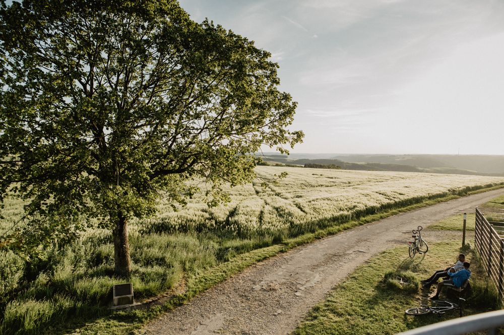
At the highest point in the municipality of Bourscheid, the ‘Napoleonsknäppchen’, a liberty tree was planted at the time of Napoleon I, which was later called the ‘Napoleonsbeemchen’. It developed into a popular vantage point, offering a panoramic view beyond the borders on clear days.
During the First World War, the tree became a makeshift observation post. German soldiers perched on a plank in the lime tree. In May 1940, shortly after the German occupation of Luxembourg, the tree was ruthlessly felled, causing resentment among the local population.
This devastation gave rise to an unexpected work. The sculptor Constant Stehres from Rollingergrund created the statue of St Willibrord from the trunk of the lime tree at the request of parish priest Victor Elz. Despite the difficulties caused by the war, the statue was solemnly placed in the Bourscheid church on 2 August 1942, thus commemorating its eventful history.
On 22 November 1941, the inhabitants of Bourscheid secretly planted a new lime tree in place of its predecessor. A memorial plaque nearby provides information about the fate of this historic tree and invites visitors to learn about the lasting legacy of the Bourscheid Napoleon tree.
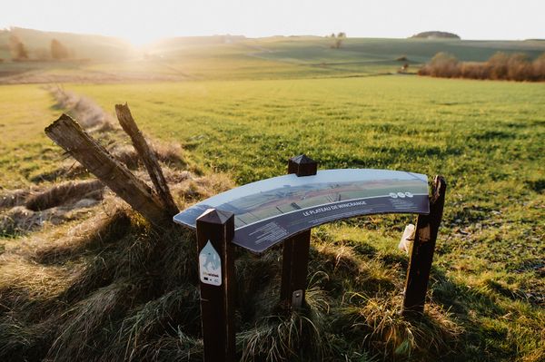
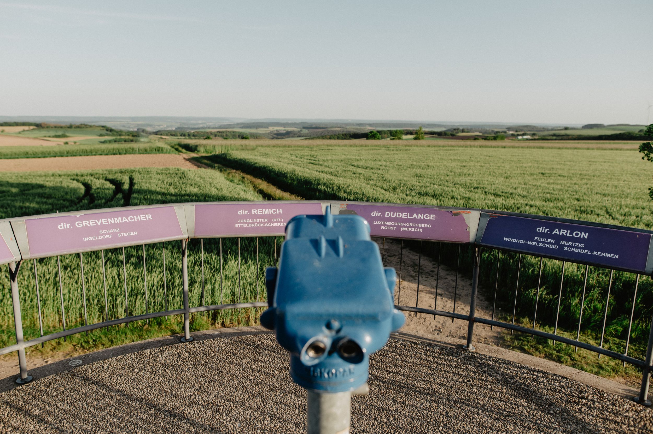
Close to the lime tree is a viewing platform with a panorama board and a telescope. From up there you can enjoy a great view of the surrounding area.
The ‘Napoleonsknäppchen’ is not accessible by car. The best way to reach it on foot is via the Escapardenne Lee Trail or the Éislek Pad Bourscheid.