©Michelle Bingen, Visit Moselle
Mosel Germany France

Local hiking trail SE1 - Éidengerwee

Starting point

Maus Ketti Cultural Center -10 Rue Auguste Liesch, L-5675 Burmerange

Destination

Maus Ketti Cultural Center - 10 Rue Auguste Liesch, L-5675 Burmerange

Distance
6,91 km
Duration
1:45 h
Difficulty
easy
  • Condition
Highest point
241 Hm
Lowest point
168 Hm
Aggregated Ascent
103 Hm
Aggregated Descent
103 Hm
Circular routes Visit Luxembourg

Description

Scenic Dog-friendly
Local hiking trail in Burmerange

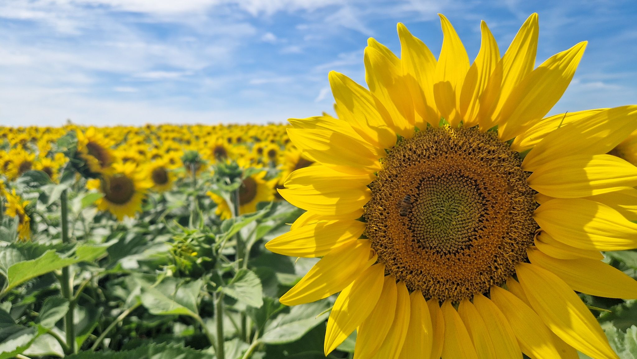
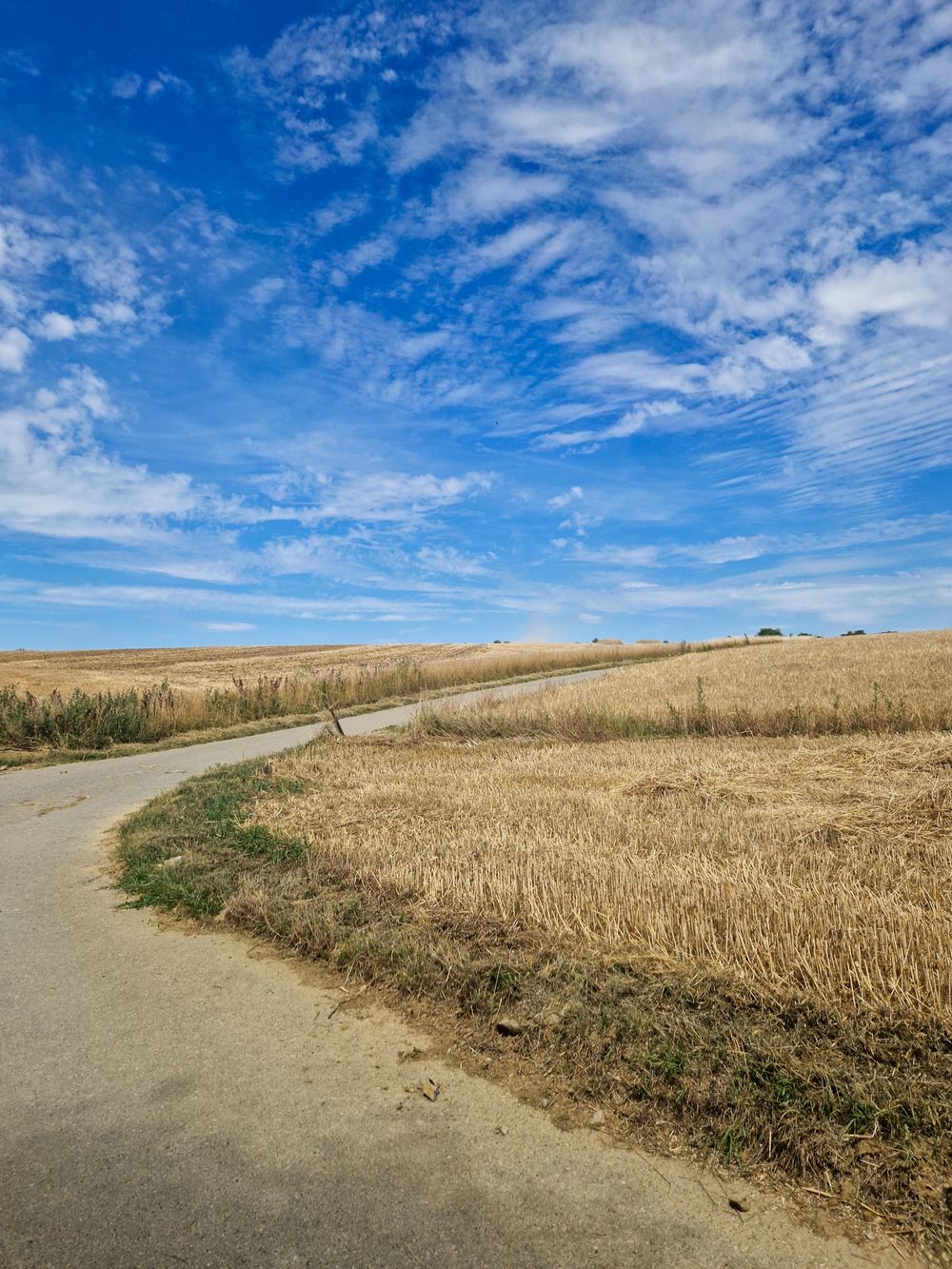
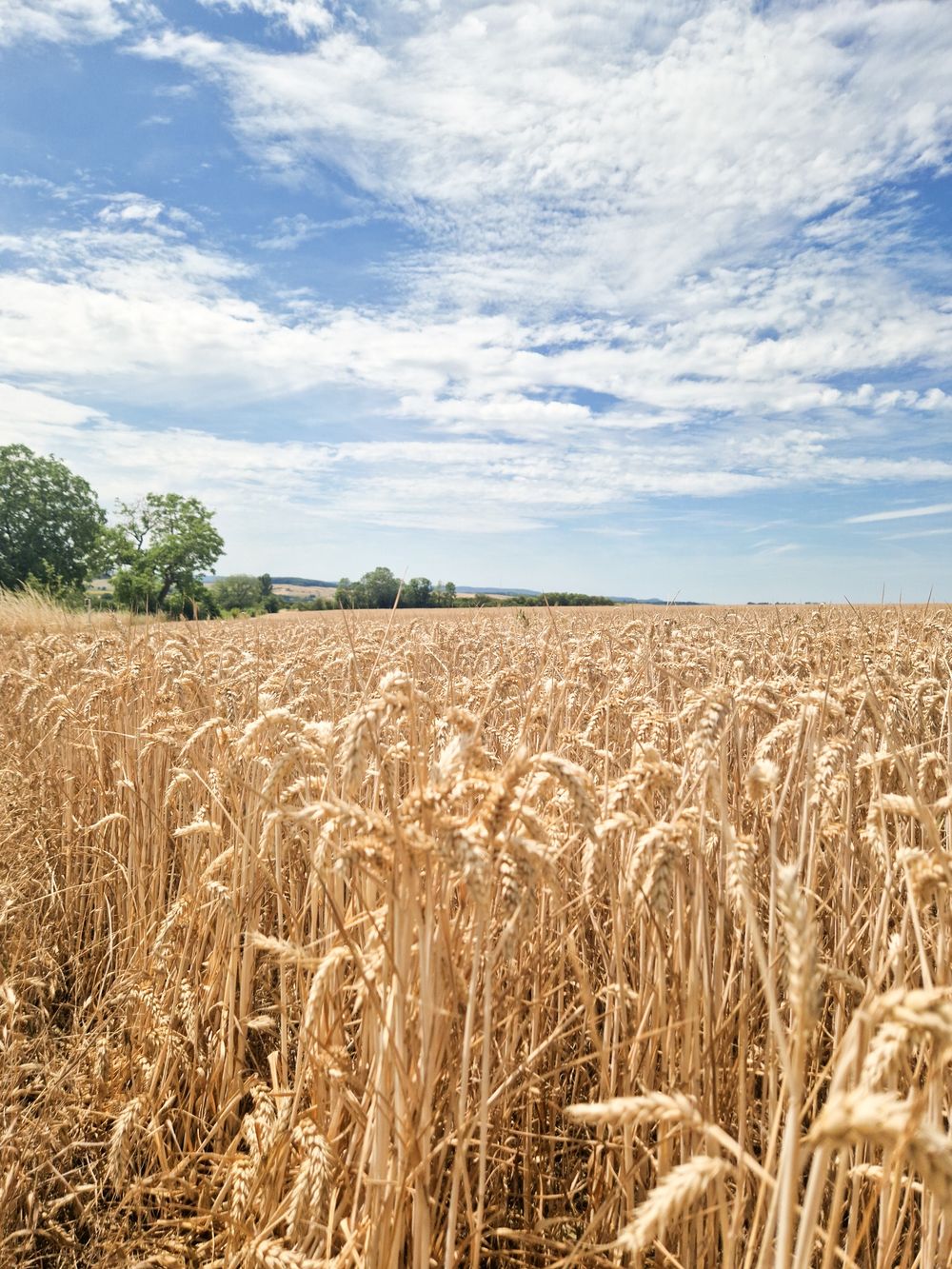
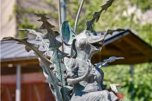
The hiking trail passes the Maus Ketti statue towards Elvingen. Over the Éidengerwee you reach a meadow landscape where a settlement of the same name used to be. It disappeared due to the plague and raids by the French army in the 16th century. Along Mondorfer Street you reach the Voulsheed, where vines were still growing until the 1960s. The hike then leads down to the graceful Prélingerbach, which here flows into the larger Albach (Gander). Across meadows and fields you reach the French border, where the view extends to the Minette area. Through the picturesque Déibich, the largest former Burmeringer vineyard area, you reach back via a well-maintained path to the home village of Maus Ketti.

Similar hiking tours

©Ville de Dudelange, Ville de Dudelange
Circular routes
Local hiking trail Dudelange - "Buerfousswee"
Distance: 0,64 km
Duration: 0:10 h
Difficulty: easy
Find out more
©Administration des Eaux et Forêts / LFT
Local hiking trail Esch: Sentier Pierre Wies trail – 8.5km
Distance: 10,60 km
Duration: 2:55 h
Difficulty: easy
Find out more
©Pulsa Pictures, ORT SUD
Circular routes
Local hiking trail Esch: Burgronn - 3 km
Distance: 2,97 km
Duration: 0:45 h
Difficulty: easy
Find out more
©Visit Luxembourg
Circular routes
Auto-Pédestre Tadler hiking trail
Distance: 4,57 km
Duration: 1:30 h
Difficulty: easy
Find out more
©Visit Luxembourg
Thematic paths
Naturentdeckungspfad Cactusbësch
Distance: 6,09 km
Duration: 1:50 h
Difficulty: easy
Find out more
©Visit Luxembourg
Thematic paths
With Robi through the forest
Distance: 2,82 km
Duration: 0:45 h
Difficulty: easy
Find out more
©©Visit Éislek
Éischter Bëschrou
Distance: 4,33 km
Duration: 1:10 h
Difficulty: easy
Find out more
©Jeniska Photography, Visit Luxembourg
Guttland.Trails
Guttland.Trail Fautelfiels
Distance: 5,40 km
Duration: 1:45 h
Difficulty: easy
Find out more
©Pancake! Photographie, Visit Guttland
Thematic paths
Nature walk 'Meditation path' Rindschleiden
Distance: 1,49 km
Duration: 0:25 h
Difficulty: easy
Find out more
outdooractive This website uses technology and content from the Outdooractive Platform.