Description
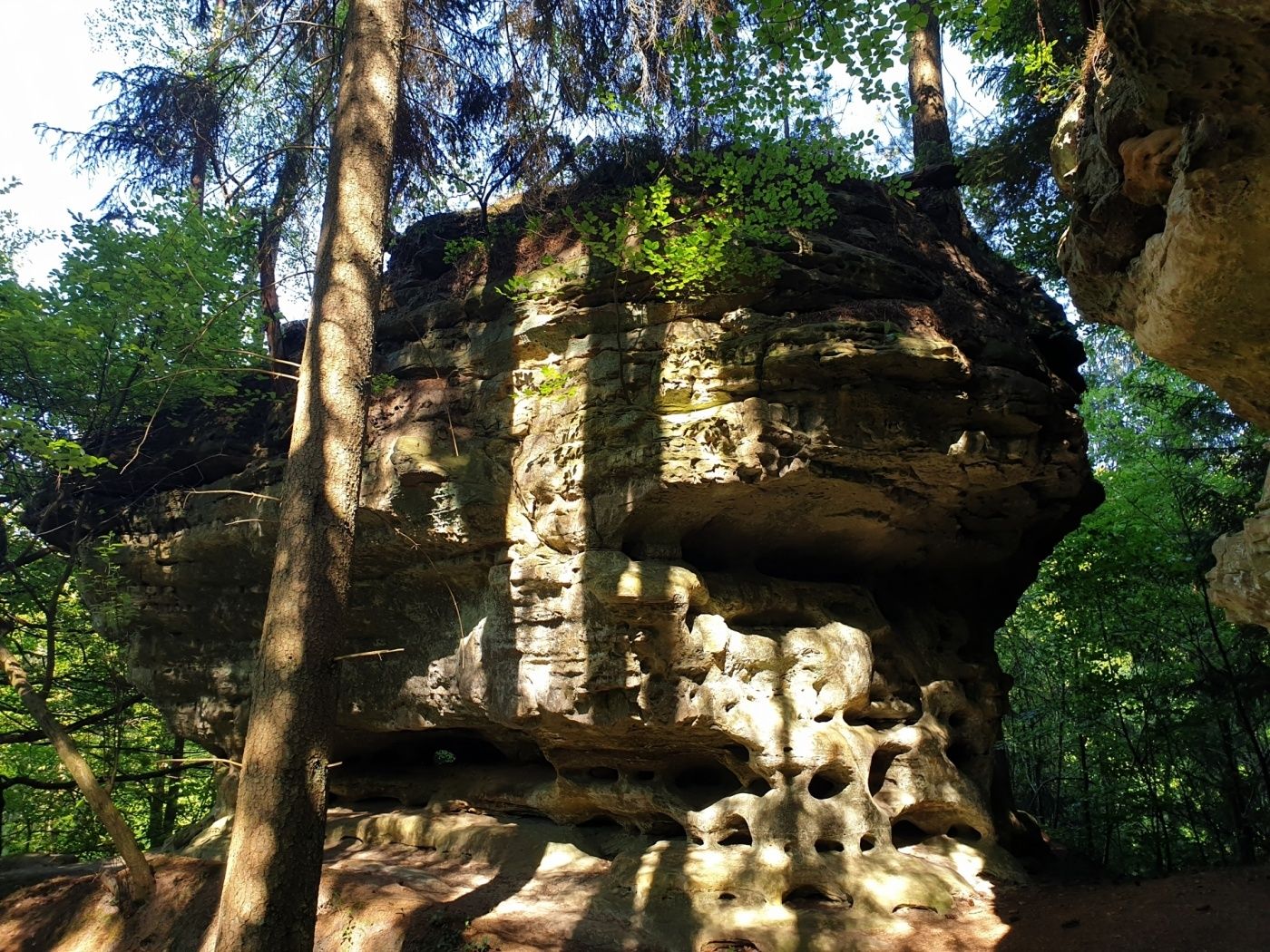
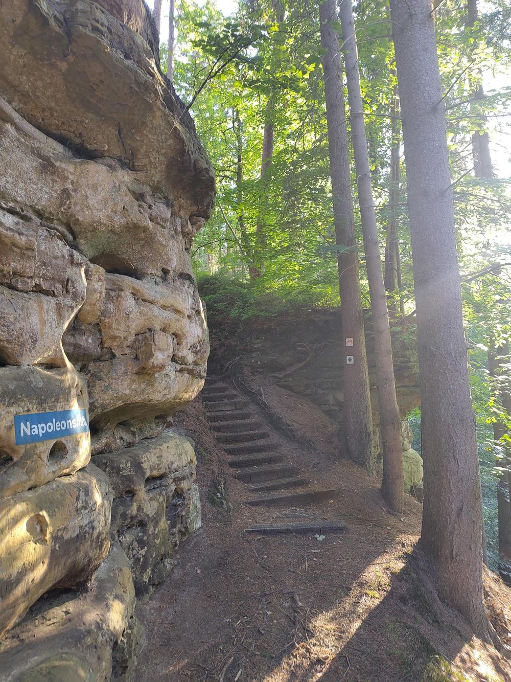
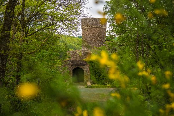
On this circular hiking route, you can enjoy the tranquility of the forest and encounter the "Napoleonshutt" - a rock that resembles a headwear, as well as 2 hollow paths.
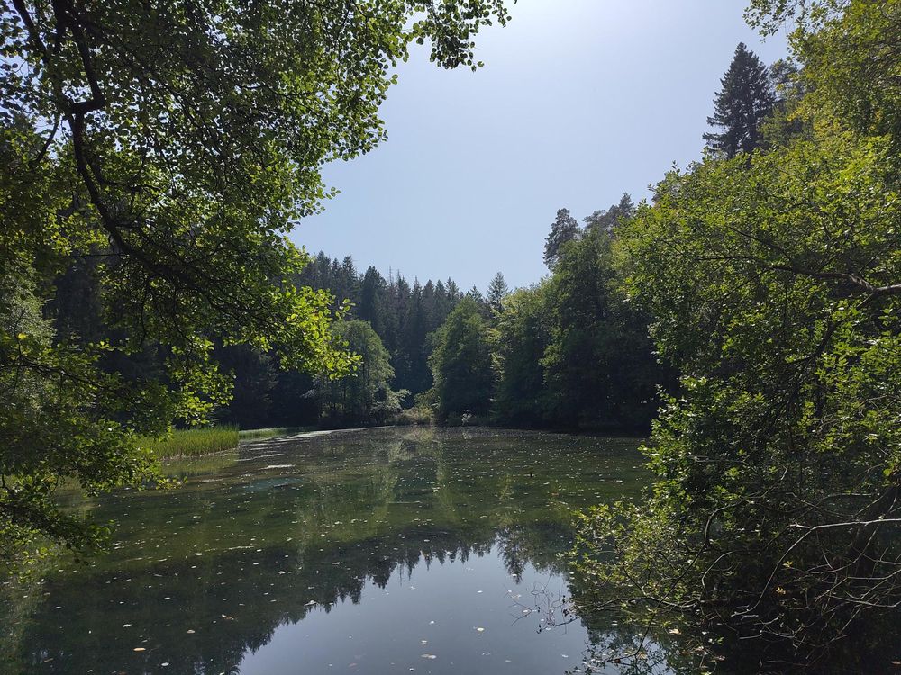
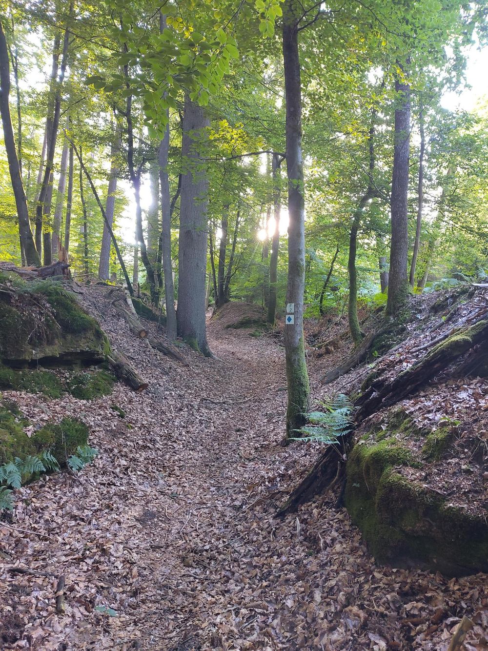
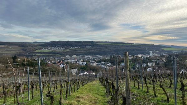
The path initially leads along an asphalted way into the forest. There it gently winds uphill, lined with rocks. Via a hollow path, you reach the Al Schmelz, the only visible remains of the old smelting works of Fischbach. Then it continues up stairs to the Napoleonshut. A paved path then continues uphill. Once at the top, another hollow path leads down to the idyllic Koedange. On the way back, the path leads again through the forest, offering beautiful views of Fischbach.
Equipment
Sturdy footwear and something to drink.
Journey
Nearest bus stop: Fischbach/ Mersch Paschtoueschgaart
Parking:
A parking lot is located directly at the starting point.


 This website uses technology and content from the Outdooractive Platform.