Description
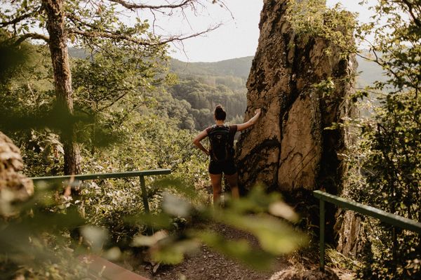
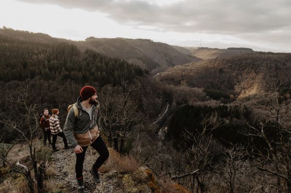
The Liberation Route Europe runs across Luxembourg, from the Ardennes to the Moselle, following in the footsteps of the Allies in the Second World War.
The Liberation Route Europe hiking network is a unique cross-border memorial that extends over 10,000 km throughout Europe and traces the advance of the allied troops to liberate Europe during the Second World War.
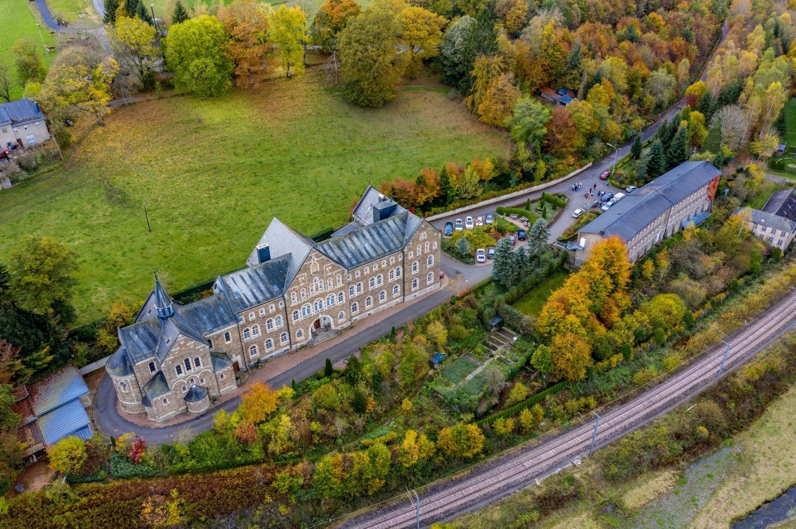
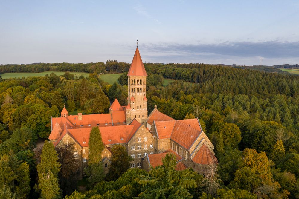
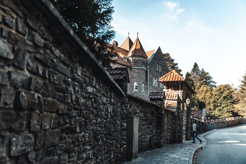
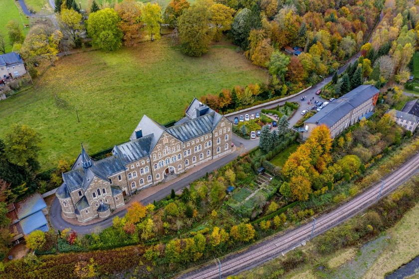
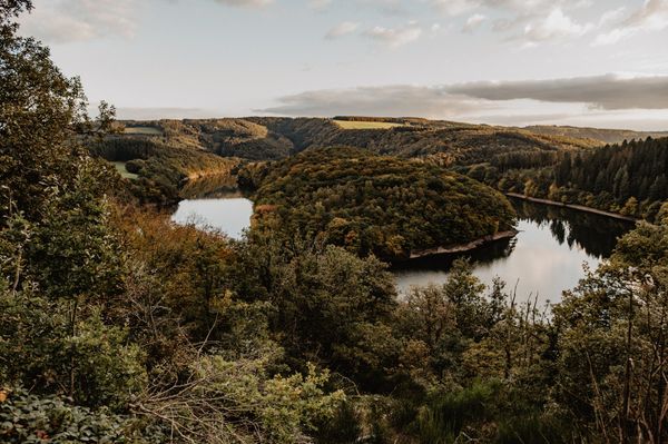
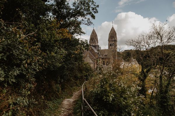
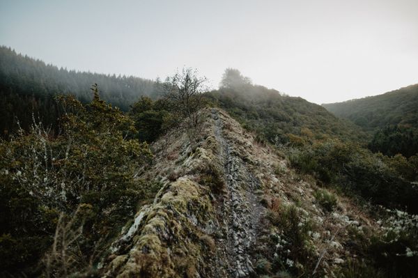
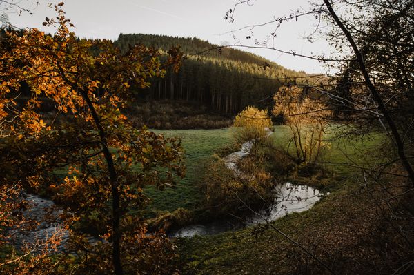
The route runs through Luxembourg for more than 270 kilometers, passing through the Ardennes in the north of the country, crossing the forest massifs in the Müllerthal, following alongside the Alzette river into the fortress city of Luxembourg, which is over 1,000 years old, and then through the vineyards on the sunny slopes along the Moselle.
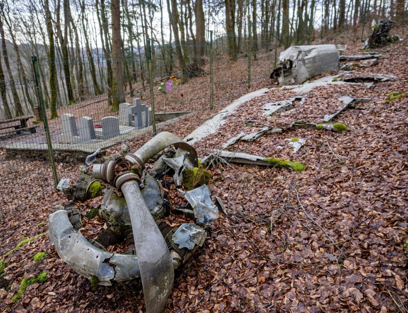
The Liberation Route passes numerous historical sites and tells stories from a variety of perspectives that were important in the final phase of the Second World War.
This part of the route is an alternative that you can use coming from the north via Gouvy (Belgium) and Troisvierges (Luxembourg), leading you to Kautenbach where you meet the main route.
Signposting
Directions
At Kautenbach, the main route leads towards Bastogne (B), or the northern variant suggested here leads more quickly towards the Netherlands and Germany:
follow the Leading Quality Trail, Best of Europe "Escapardenne" (blue wave on white background) onwards to Troisvierges (35.9 km);
from Troisvierges, follow the "Sentier de Grande Randonnée GR57" (white-red sign) to the Belgian border towards Gouvy (Belgium) (13.9 km).
Total distance from Kautenbach to the Belgian border near Gouvy: 49.7 km
For your safety
Weather conditions such as wetness, ice and wind can make a route difficult. The information refers to optimal conditions.
Equipment
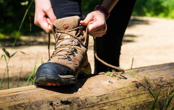
Sturdy footwear and something to drink.
Prepare for the route and inform yourself about accommodation and dining options.
Journey
Use the free public transport and travel climate-friendly by bus and train.
Train stations along the route: Gouvy (B), Troisvierges, Clervaux, Drauffelt, Wilwerwiltz, Kautenbach

 This website uses technology and content from the Outdooractive Platform.