Circular routes Visit Luxembourg
Description
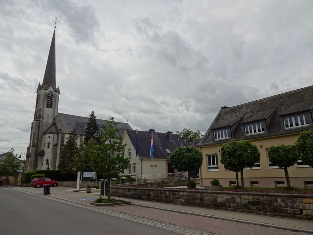
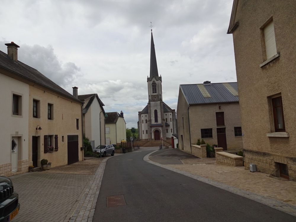
Short circular hiking route starting from the town center of Nommern.
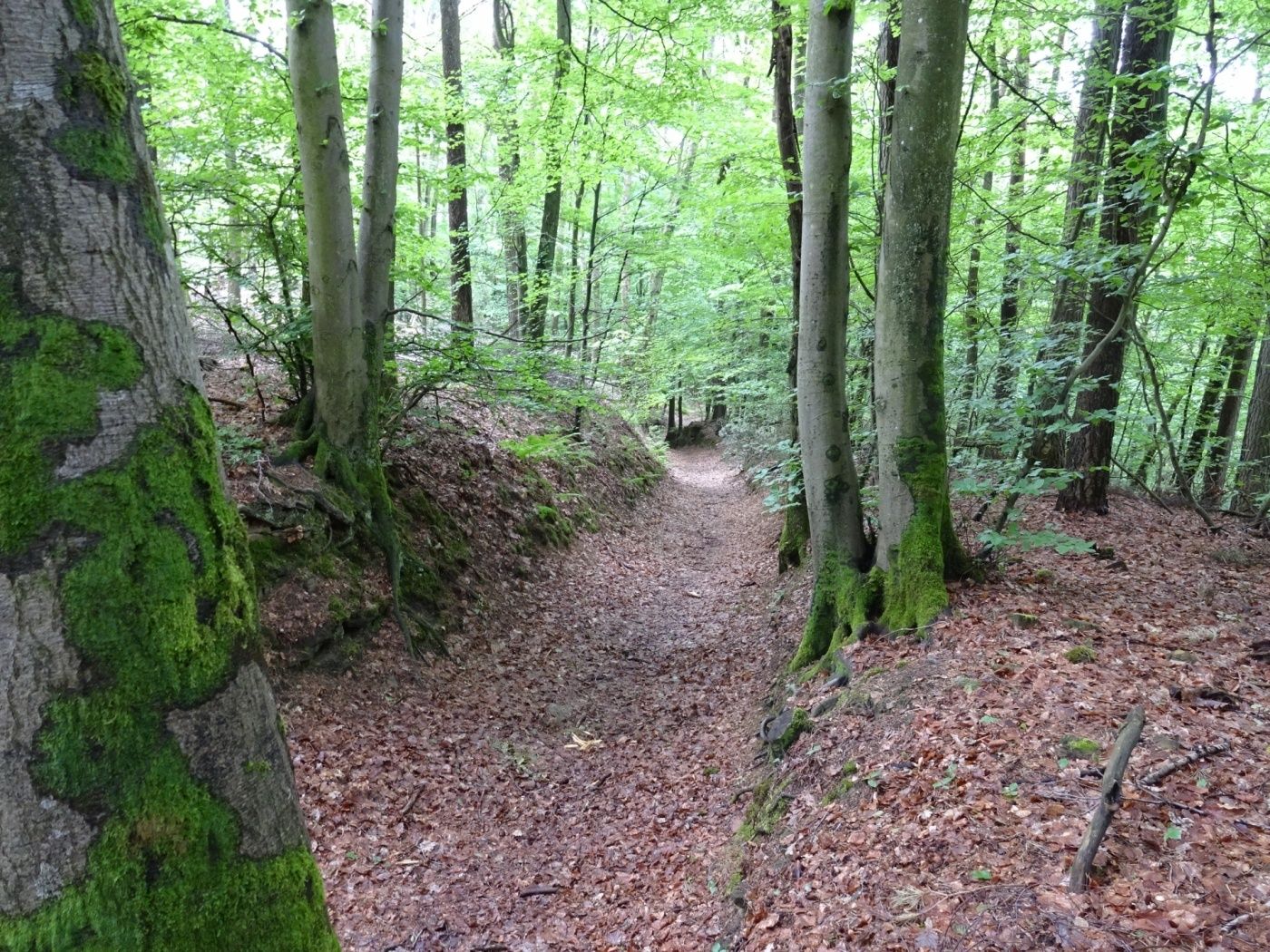
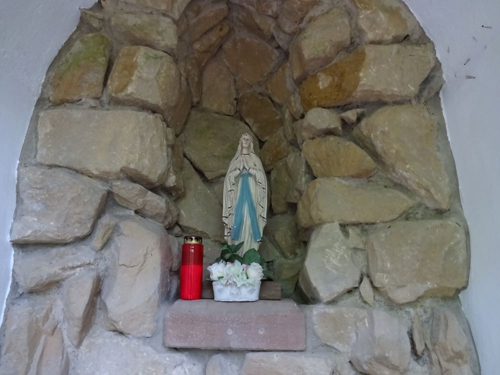
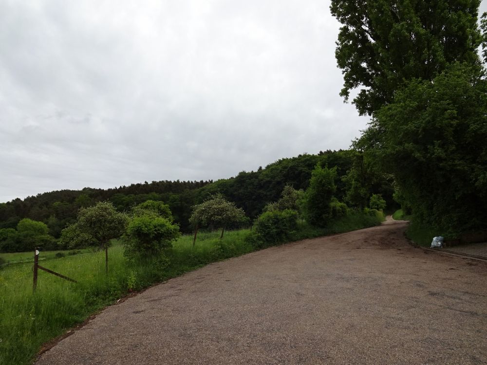
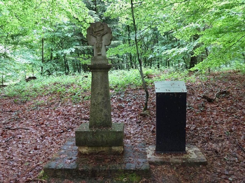
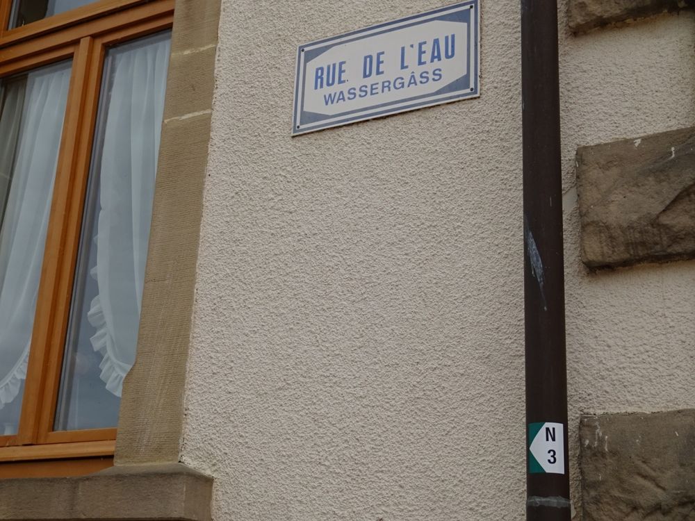
The hiking trail leads from the starting point to the right towards Rue de l’Eau. There is an approximately 1.2 km long ascent that ends on a forest path. Along the way, you can admire the typical sandstone rock formations of the Noumerleeën. At the top, the path turns left to a chapel with a beautiful statue of the Virgin Mary. From there, it continues down a narrow forest path through a small canyon back to the starting point.
Equipment
Sturdy footwear and something to drink.
Journey
Public transport:
Parking:
Nearest bus stop: Nommern, Kiirch (50 m)
Parking:
Nearest parking lot: Eglise/Mairie (50 m)


 This website uses technology and content from the Outdooractive Platform.