Distance
51,64 km
Duration
13:52 h
Difficulty
medium
  • Condition
Highest point
486 Hm
Lowest point
227 Hm
Aggregated Ascent
705 Hm
Aggregated Descent
849 Hm
Distance trails Visit Luxembourg

Description

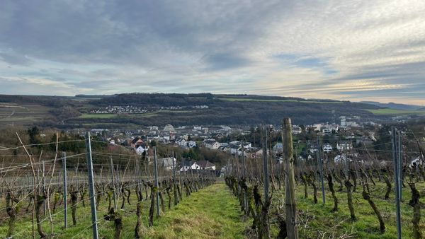
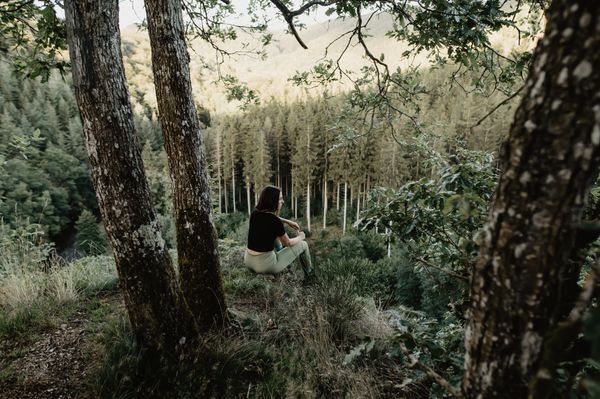
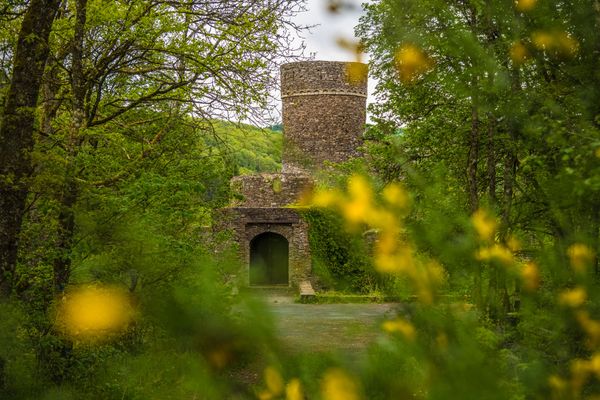
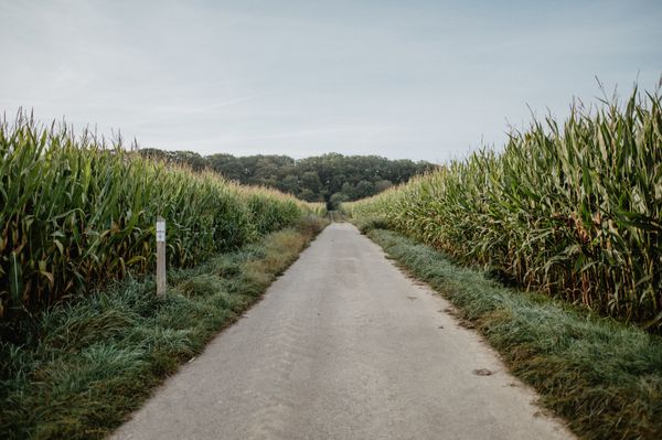
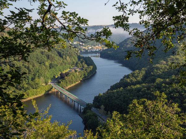
National hiking trail "Attert"

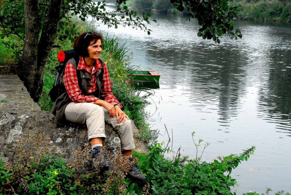
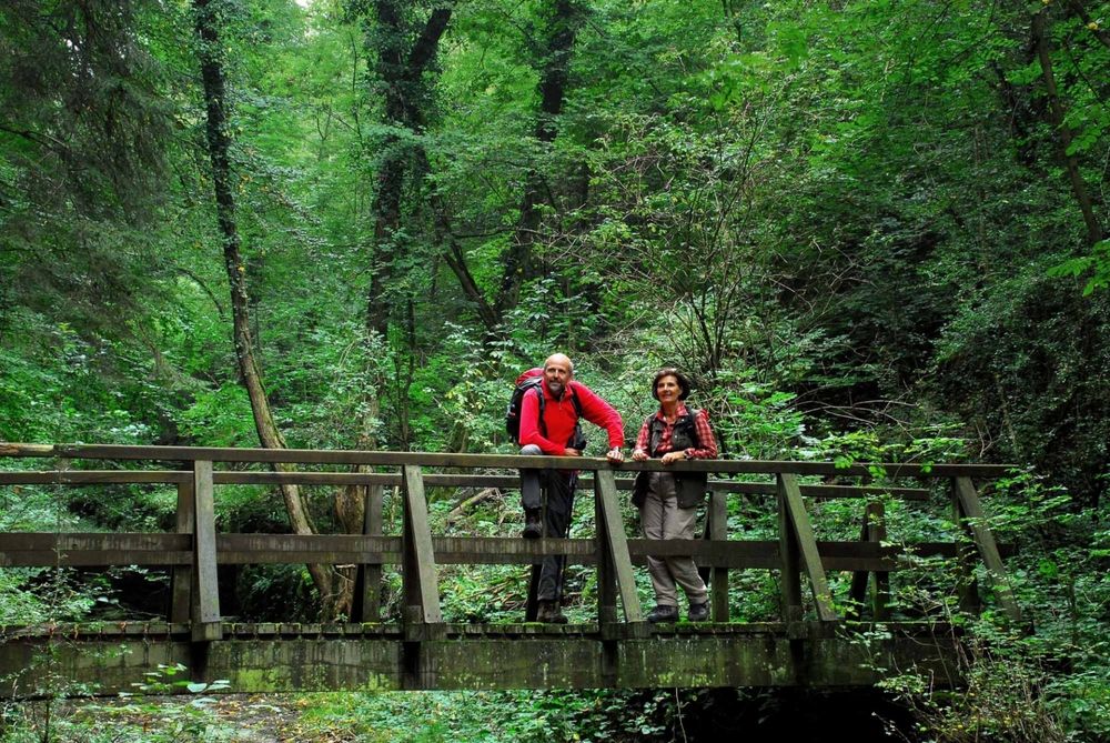
This path, which for some of its length runs alongside the River Attert and through the canton of Redange, leads from Martelange to Mersch. It gives you the opportunity to discover the features of the western part of Luxembourg from the Belgian border to the geographic centre of the Grand Duchy. Passing through both the “Gudland” and the “Ösling”, this path gives you a clear impression of the geological and climatic differences that exist in the Grand Duchy of Luxembourg.

Similar hiking tours

© Pulsa Pictures, ORT SUD
Thematic paths
Didactic trail "Natura 2000" - Ellergronn
Distance: 11,92 km
Duration: 3:20 h
Difficulty: medium
Find out more
© Visit Luxembourg
Thematic paths
Nature Discovery Path Burfelt
Distance: 7,33 km
Duration: 2:20 h
Difficulty: medium
Find out more
© Alfonso-Salgueiro-Visit-Luxembourg
Circular routes
Via Botanica
Distance: 7,53 km
Duration: 2:20 h
Difficulty: medium
Find out more
© Tom Barnich, Visit Berdorf
Circular routes
Local hiking trail - B17
Distance: 6,14 km
Duration: 1:40 h
Difficulty: medium
Find out more
© Visit Luxembourg
Thematic paths
Naturpur? - Large Tour
Distance: 7,05 km
Duration: 2:10 h
Difficulty: medium
Find out more
© Jean-Pierre Tholl, Visit Guttland
Circular routes
Auto-pédestre trail Grosbous
Distance: 8,55 km
Duration: 2:20 h
Difficulty: medium
Find out more
© Visit Luxembourg
Thematic paths
Didactic nature path "Joffer Margot"
Distance: 6,88 km
Duration: 2:00 h
Difficulty: medium
Find out more
© Jeniska Photography, Visit Guttland
Guttland.Trails
Guttland.Trail Schéiferei
Distance: 10,23 km
Duration: 3:05 h
Difficulty: medium
Find out more
© Visit Éislek, Visit Éislek
Circular routes
Local hiking trail WI 5 - Eschweiler Halte
Distance: 7,98 km
Duration: 2:20 h
Difficulty: medium
Find out more