Description
Hike on the regional hiking route Minett Trail between the train stations Pétange and Differdange and discover the diversity of nature and several historic mining areas.
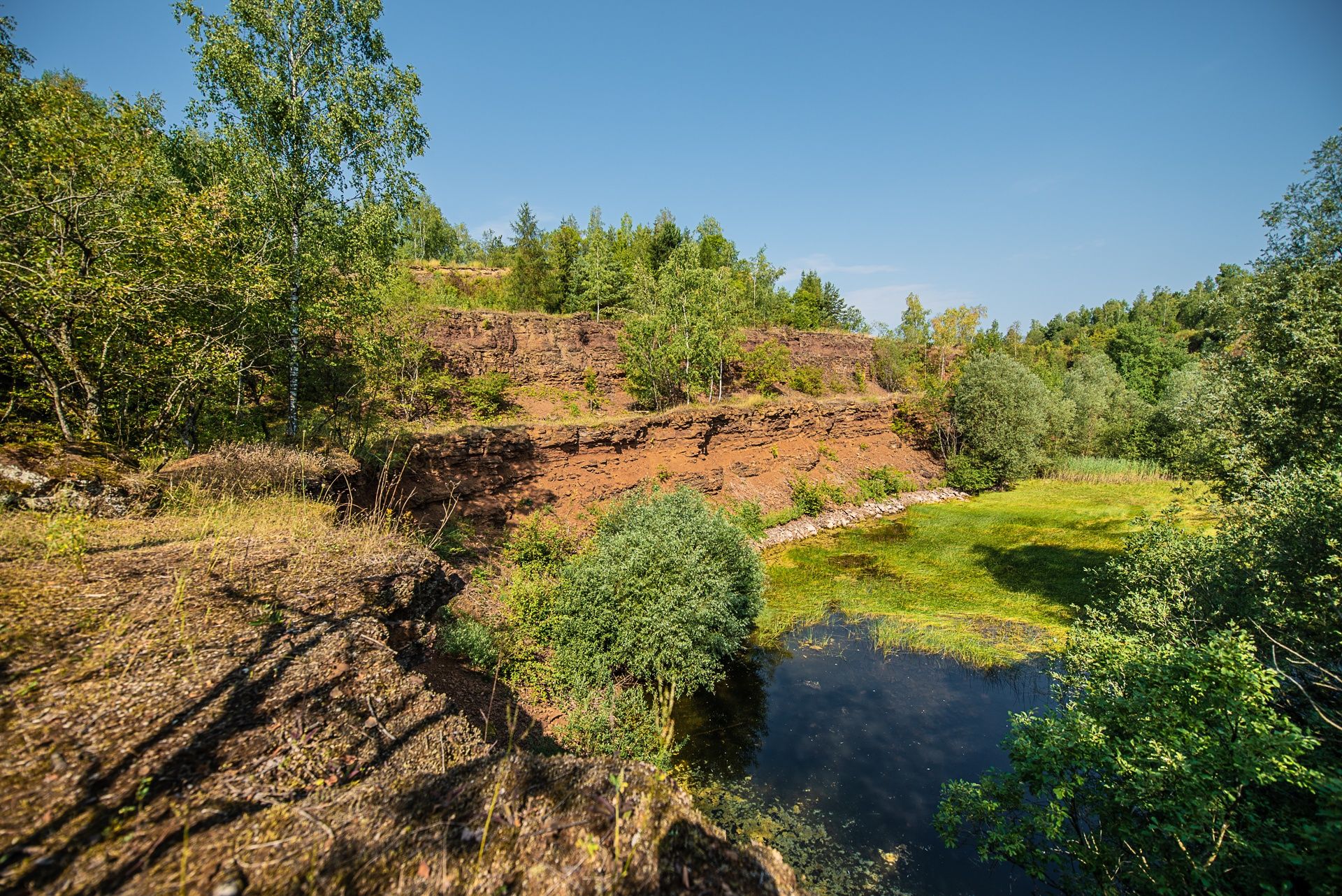
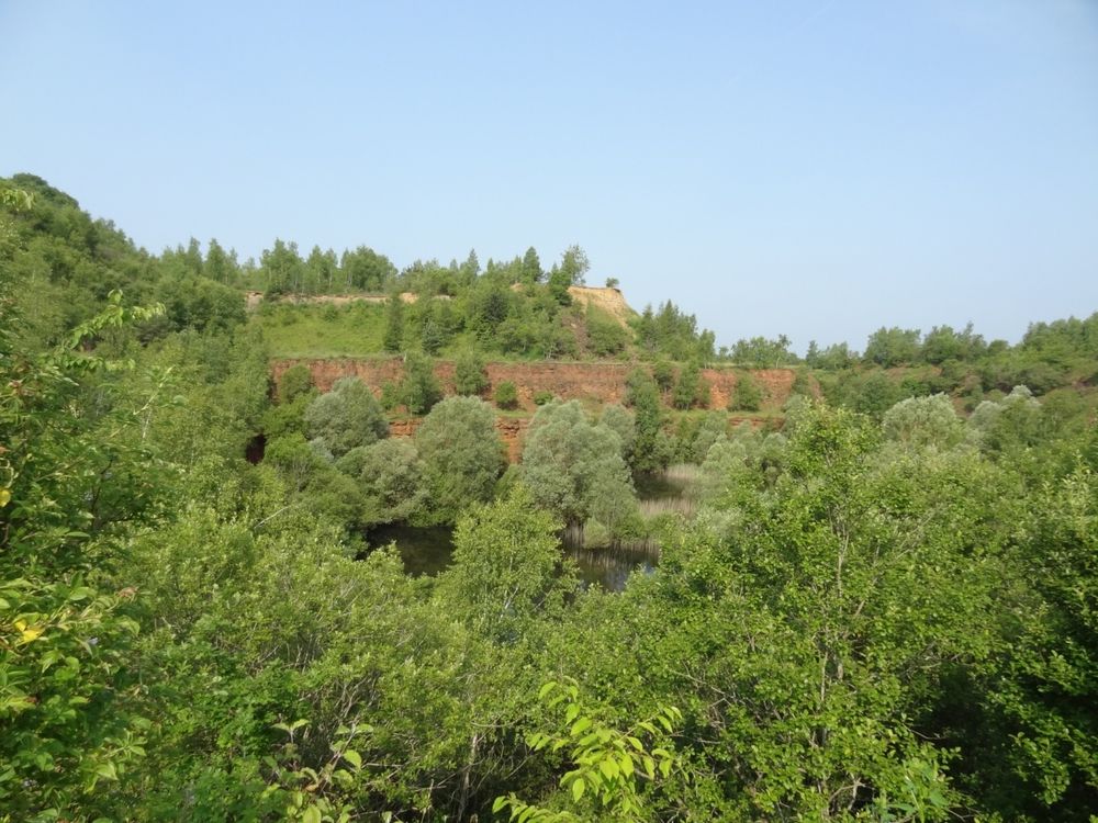
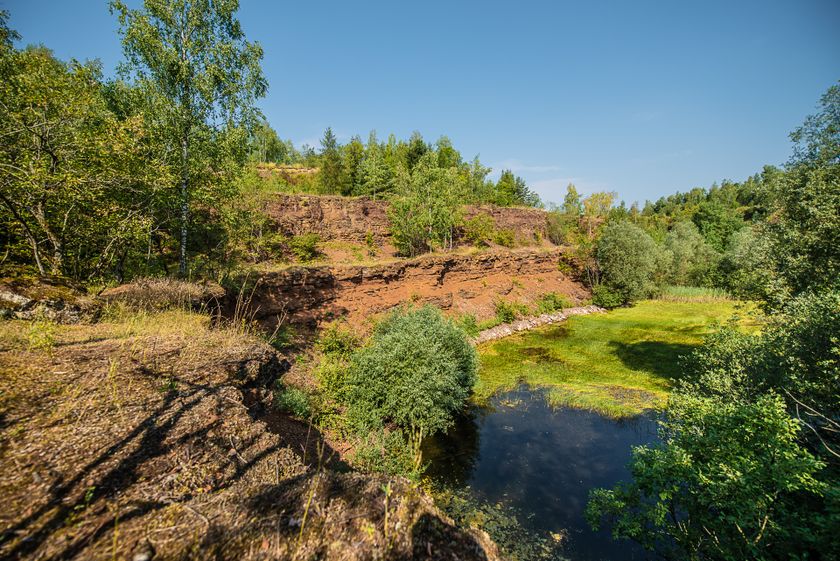
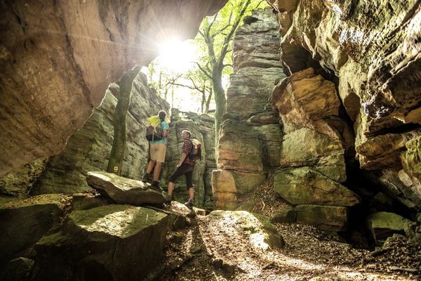
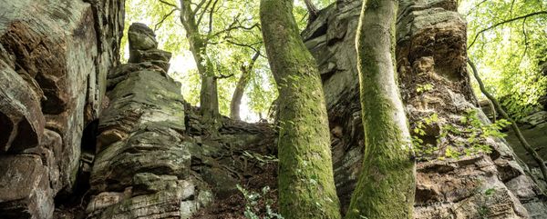
The Minett Trail is a 90-kilometer-long hiking route running across the Minett region. In ten stages, you can experience smaller and larger towns as well as eight nature reserves. These impress with old forests and former open-pit mining areas. Due to the steep rock faces, the red earth, and mine entrances, they are unique in Luxembourg.
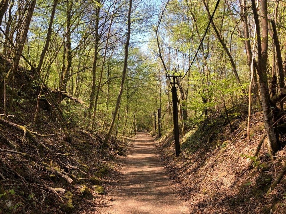
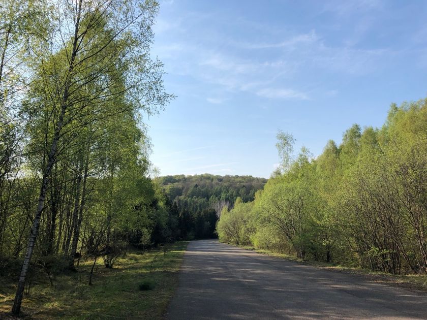
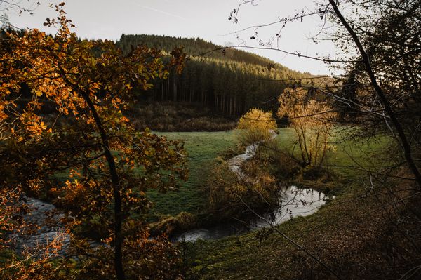
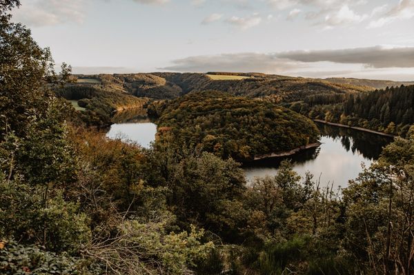
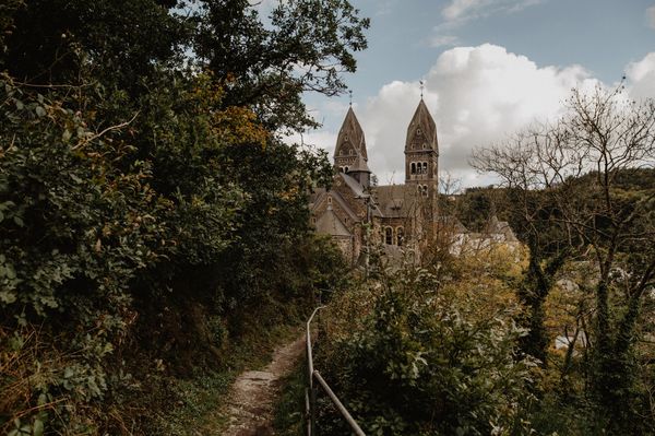
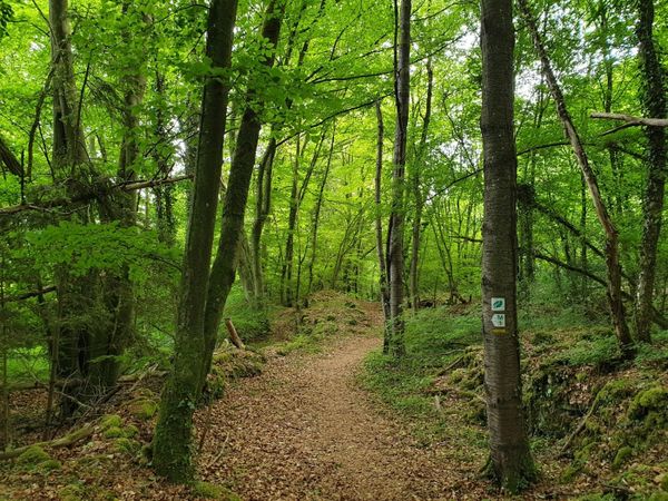
On this section, you hike through the Prënzebierg - Giele Botter nature reserve, down into the Fond-de-Gras and through the sleepy village of Lasauvage, which lies directly on the border with France. You wander through dense forests and renaturalized mining areas, discovering how nature has reclaimed the landscape.
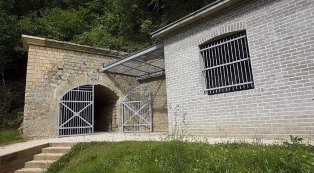
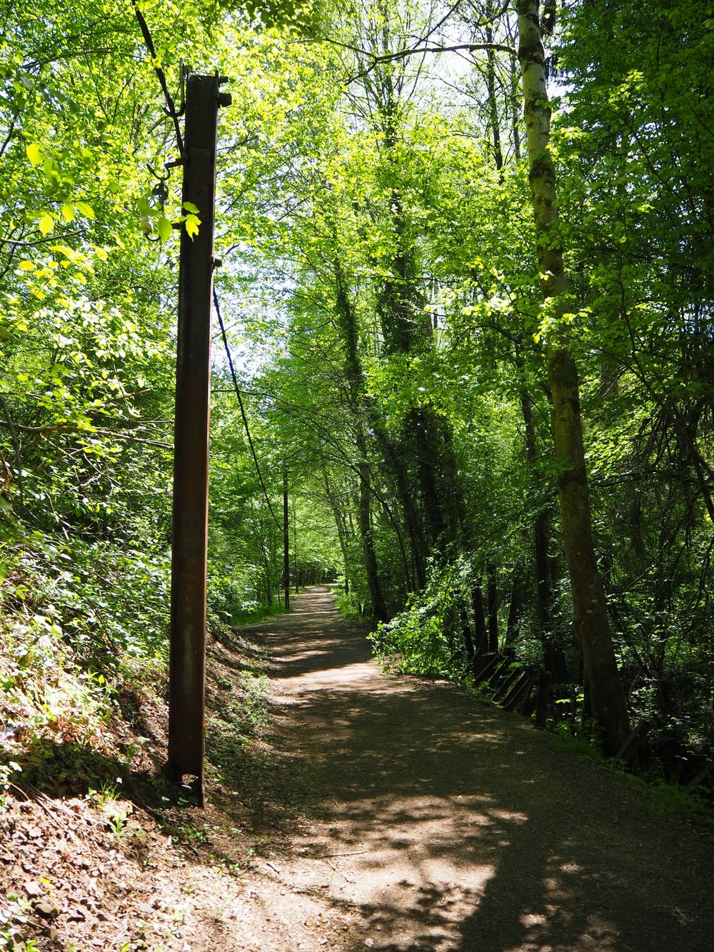
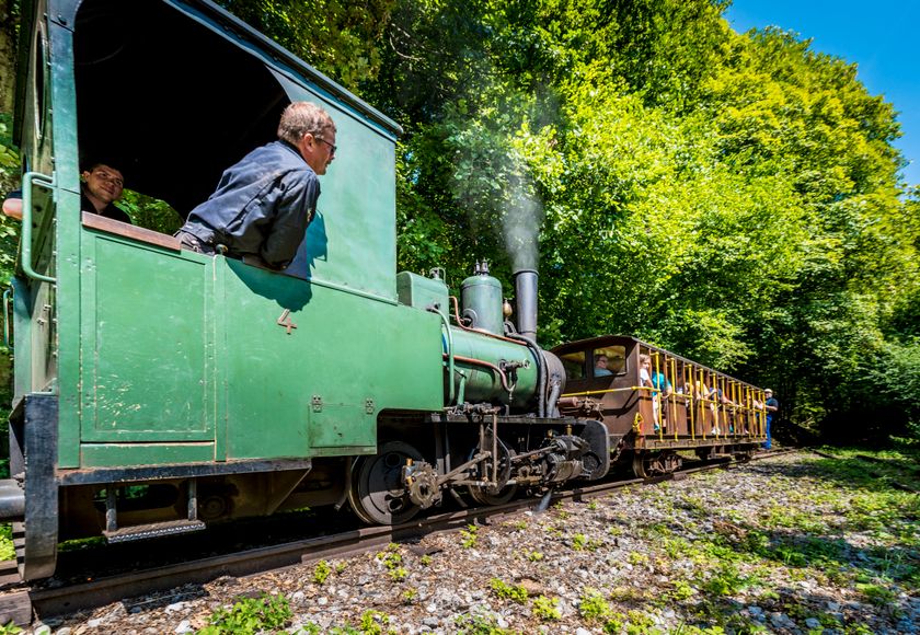
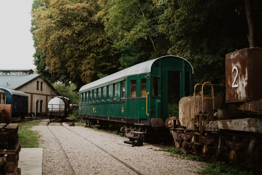
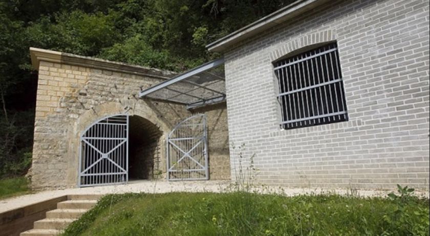
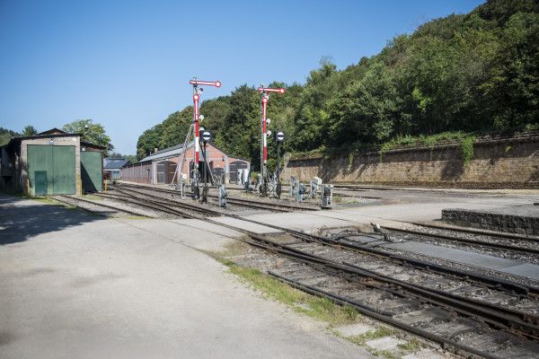
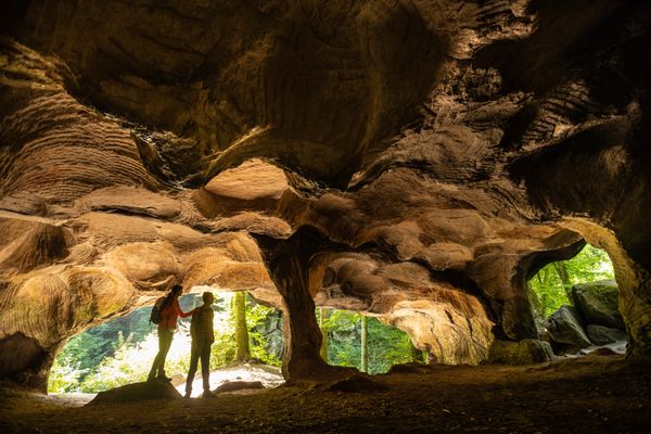
Along the route, you find many remains of the turbulent past in the mining area: sections of the former "Bremswee" of the "Buggies" – those mine carts used to transport the precious ore from the mining area. In the Prënzebierg - Giele Botter area, you can admire terraces created by human hands, where mining has deeply carved into the rock. You might even discover mine entrances now inhabited by bats. Additionally, the path is rich in old witnesses of industrial history: power poles, remnants of a railway network, and more. From the village of Lasauvage towards Differdange, the route also follows the "Crosnière" stream.

Signposting

Directions
Please follow the "Minett Trail" signage, which you can follow in both directions of the path.
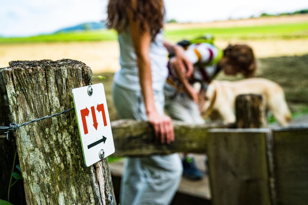
This section's route starts either at the "Train 1900" parking lot in Pétange or at the train station in Differdange. Watch for signs with three red arrows on a white background. They are placed "in sight" and may be attached to street lamps or other posts.
In nature, you find them on trees and stakes. At important junctions, you will also find signposts with arrows indicating directions and information about distances to specific points, as well as pictograms suggesting possible hiking destinations.
For your safety
Please note that mountain bikers may come towards you along some sections of the trail and that the trail partly crosses roads within towns. Therefore, please follow the designated signage, do not leave the path, and be aware of your surroundings.
Equipment
Please remember sturdy footwear and appropriate clothing in case of bad weather.
Journey
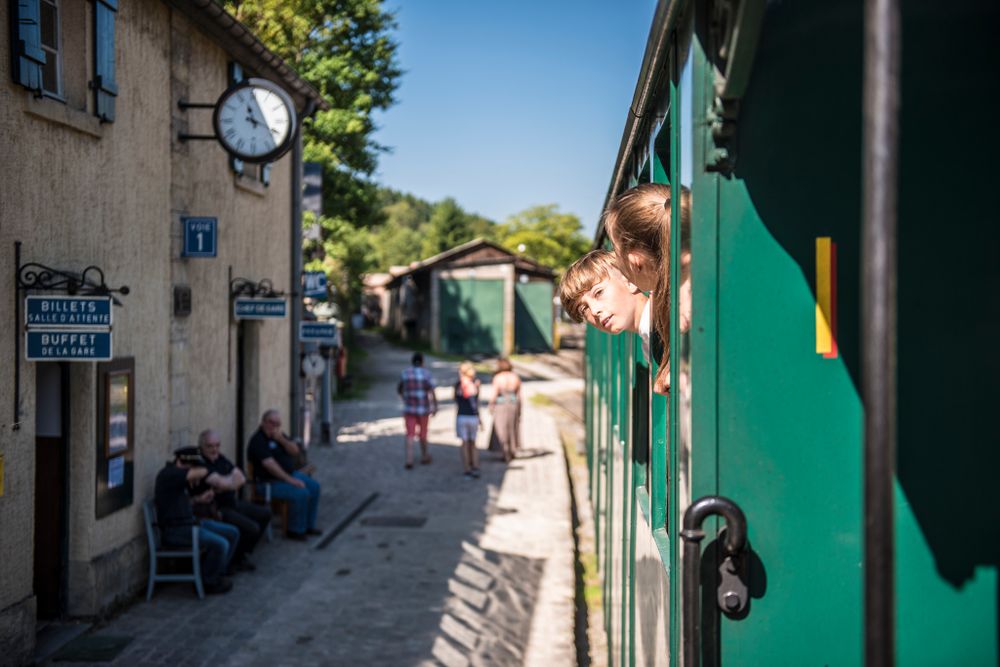
Both starting points of this section are located at a train station. Direct trains to Luxembourg City are available.
Parking:
Public parking is available on site.






 This website uses technology and content from the Outdooractive Platform.