Distance trails Visit Luxembourg
Description
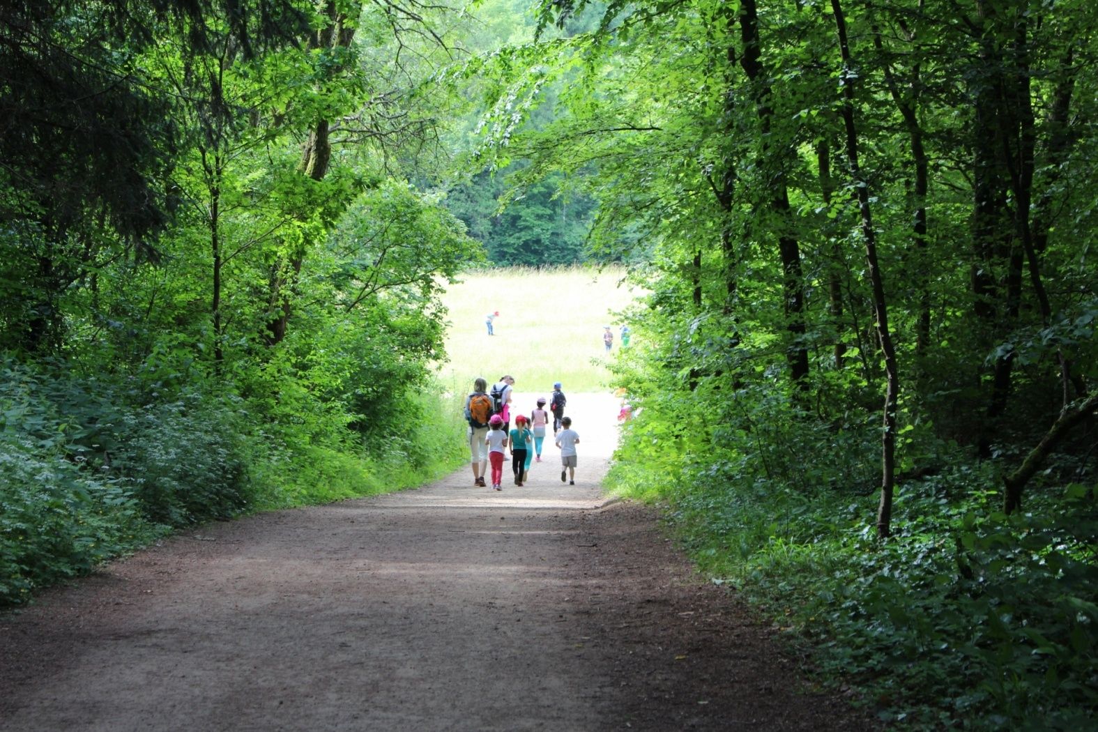
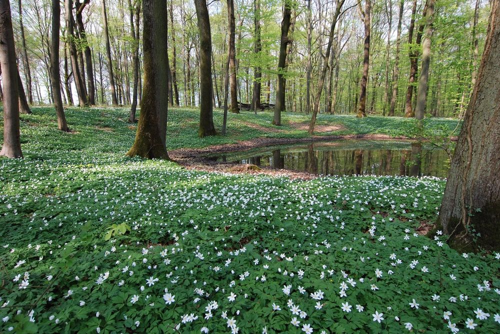
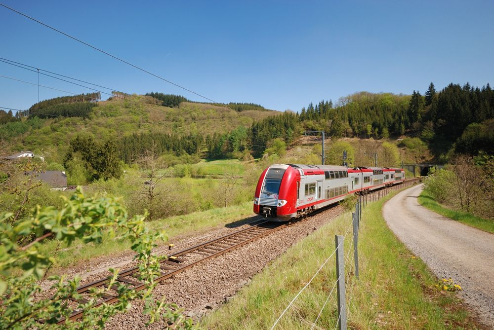
Hike from station to station, from Kayl via Schifflingen to Esch-sur-Alzette
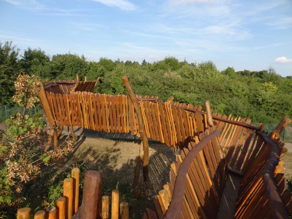
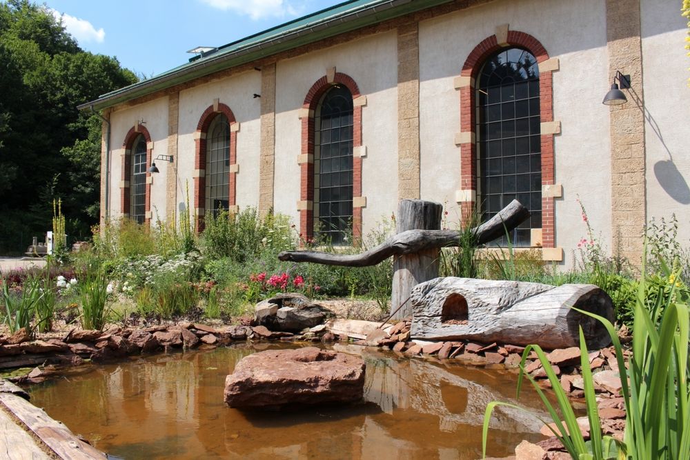
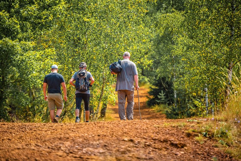
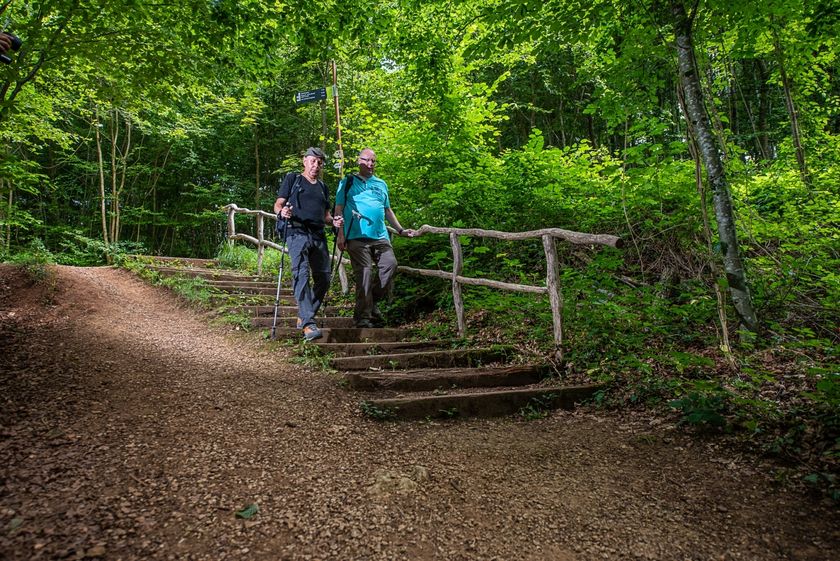
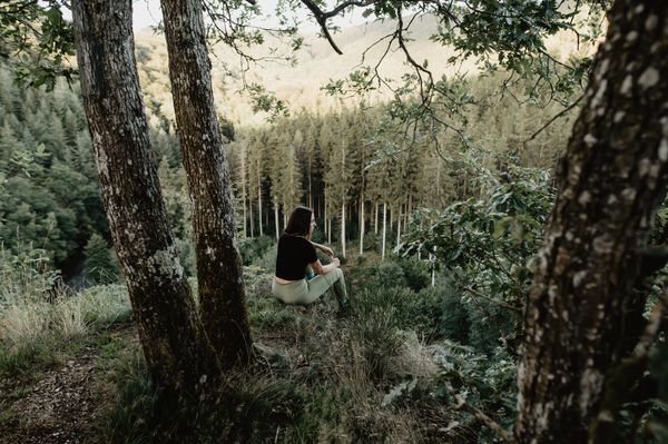
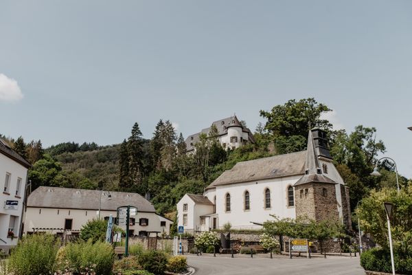
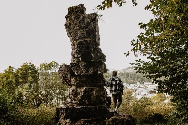
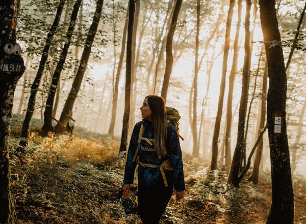
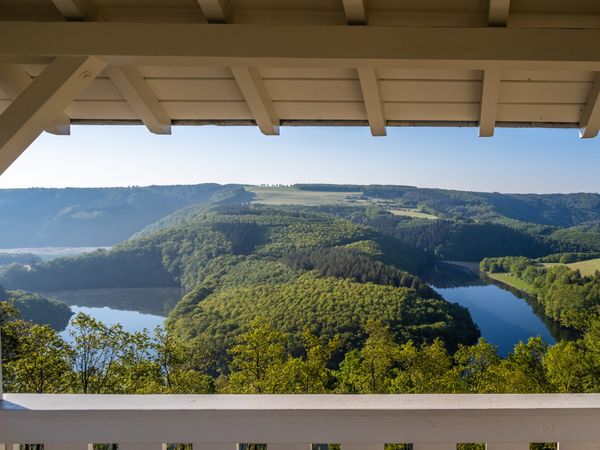
Hike from the town Kayl-Tetingen through the Brucherbierg-Lalléngerbierg nature reserve and past Schifflingen to the Minett metropolis Esch-sur-Alzette. Enjoy the freshness of nature, which starts just a few minutes outside the towns and radiates a wonderful peace. All town and end points of the hike are easily reachable by bus and train.
Signposting
Directions
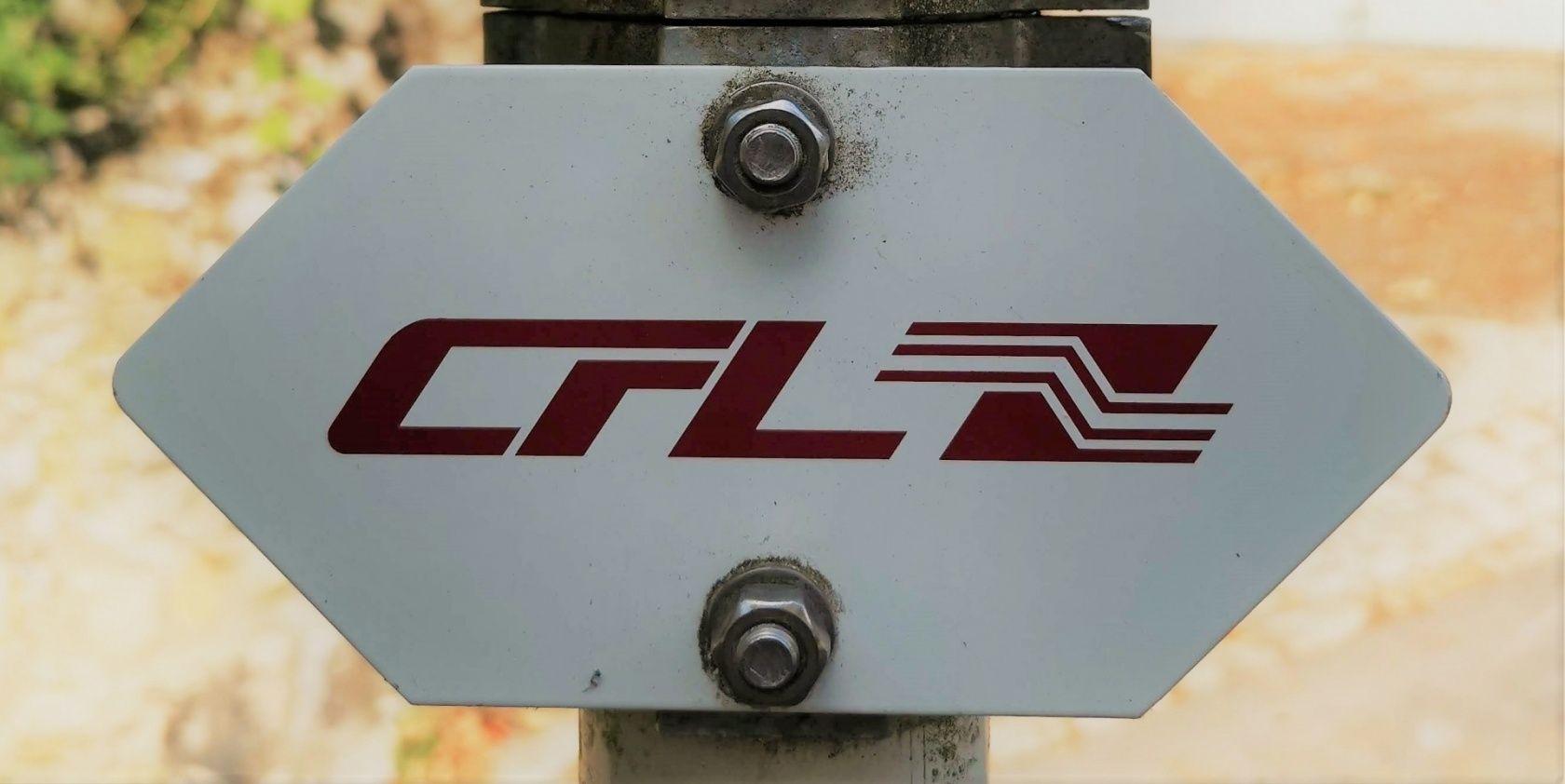
Please follow the "CFL" signage
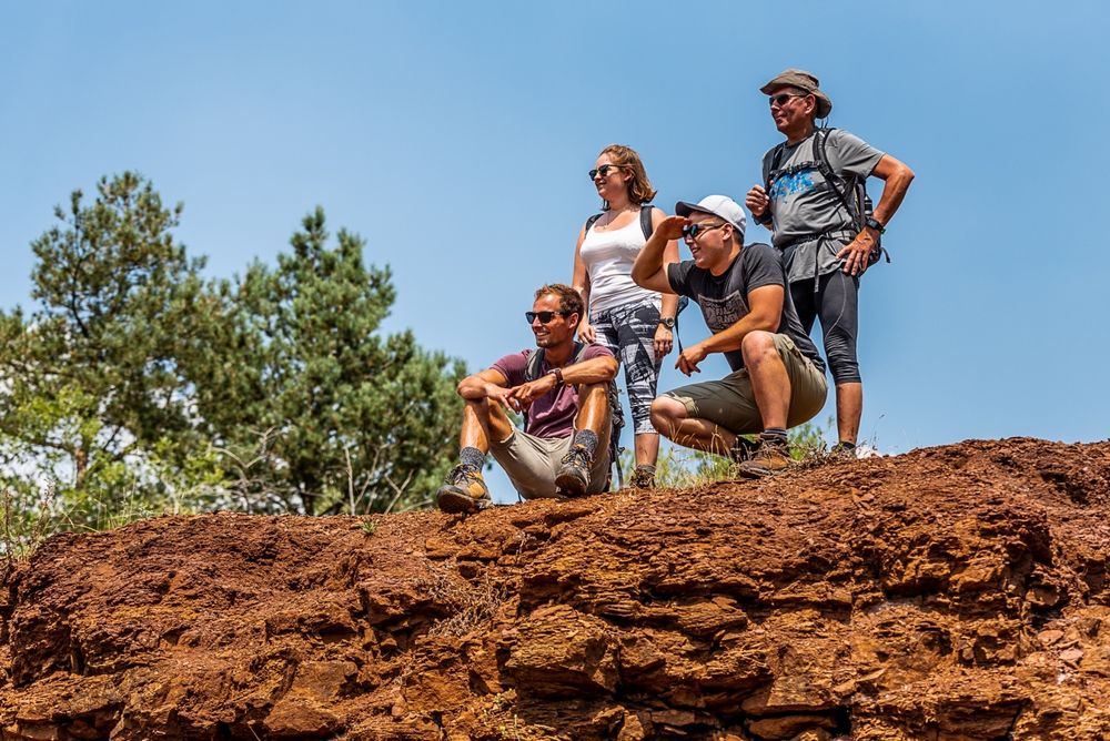
For your safety
Please remember to bring enough food and drinking water.
Equipment
Please remember to bring enough food and drinking water.
Journey
Public transport:
Parking:
Start and finish are located at a train station
Parking:
Public parking spaces right on site


 This website uses technology and content from the Outdooractive Platform.