©Visit Luxembourg
Mosel Germany France

Local hiking trail SE4 - Ställchesbësch

Starting point

Elvange Church - 3 Rue d'Ellange, L5692 Elvange

Destination

Elvange Church - 3 Rue d'Ellange, L-5692 Elvange

Distance
6,44 km
Duration
1:45 h
Difficulty
easy
  • Condition
Highest point
290 Hm
Lowest point
177 Hm
Aggregated Ascent
135 Hm
Aggregated Descent
135 Hm
Circular routes Visit Luxembourg

Description

Local hiking trail in Elvange

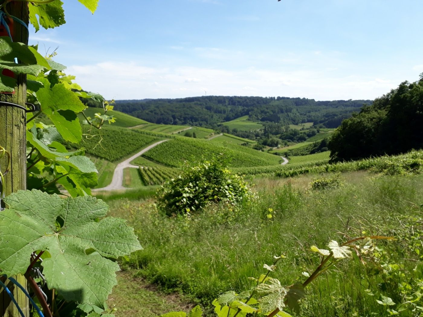
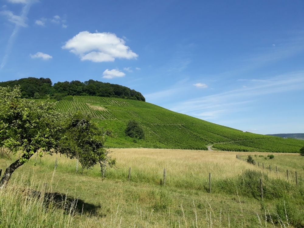
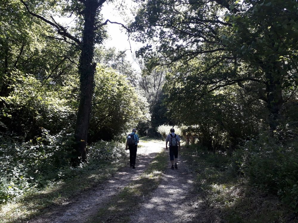
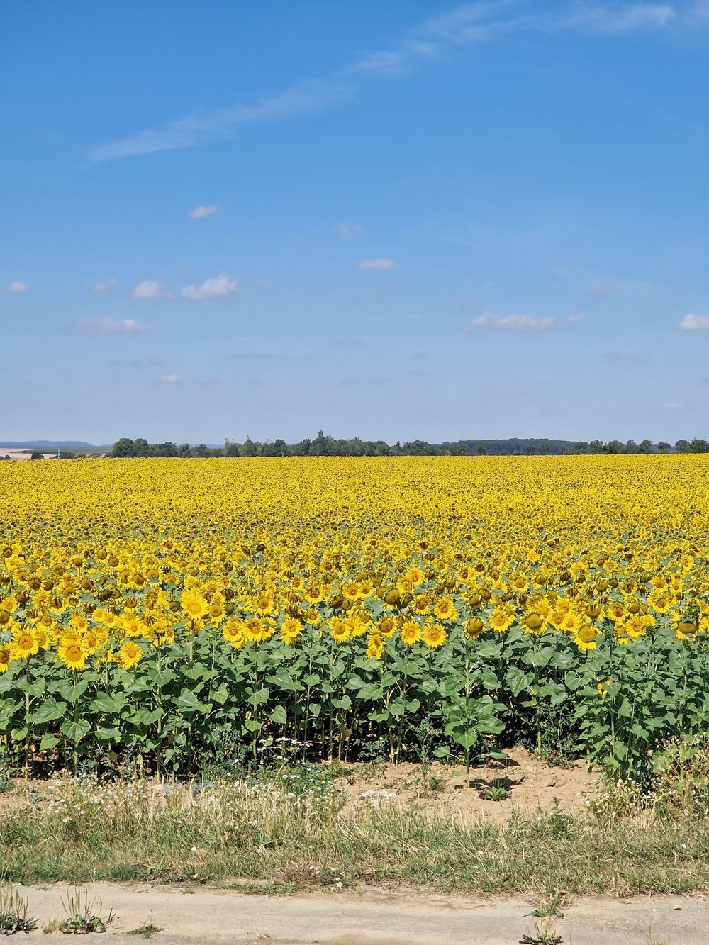
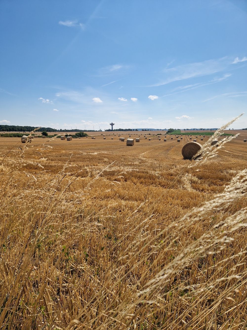
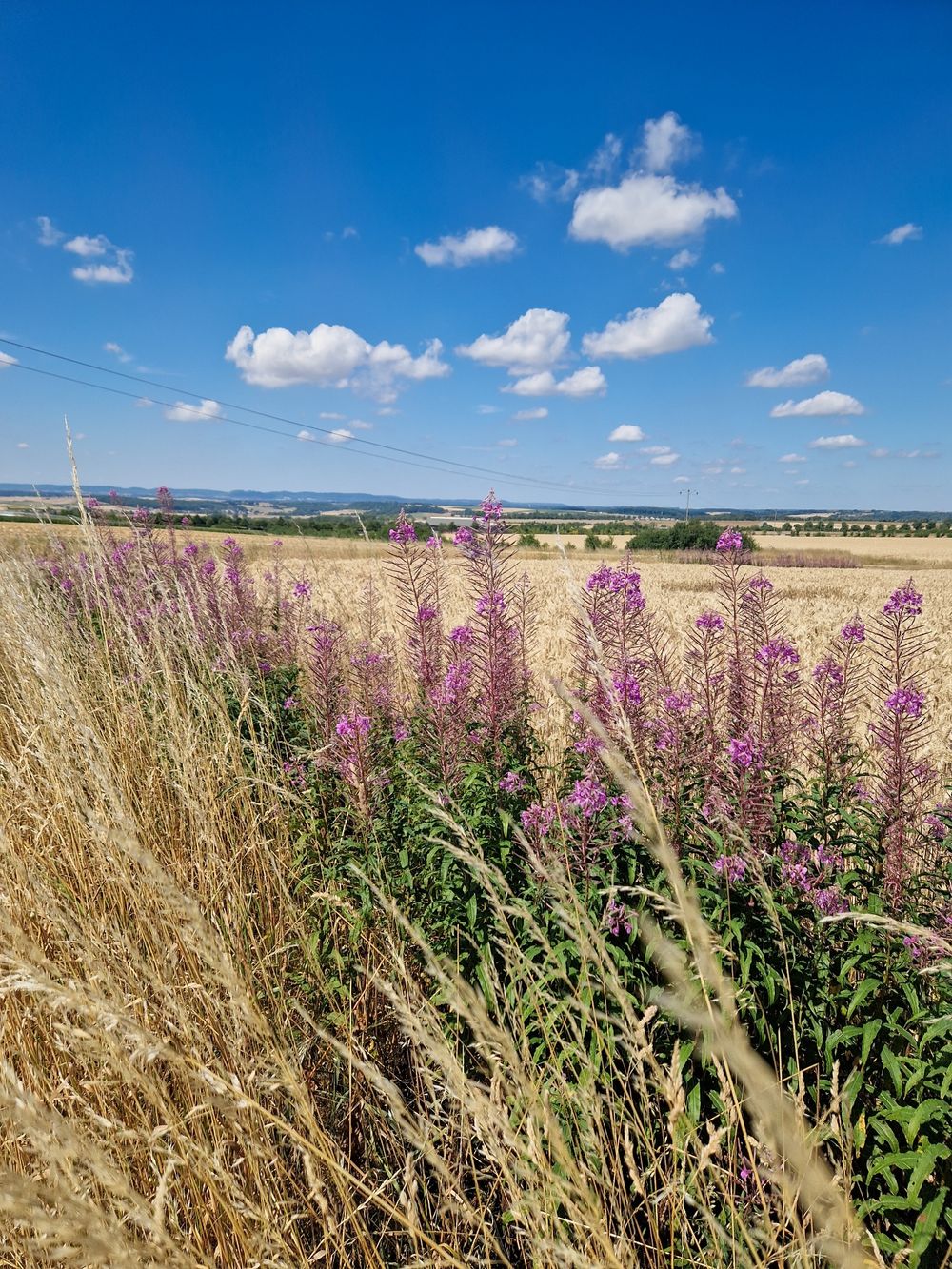
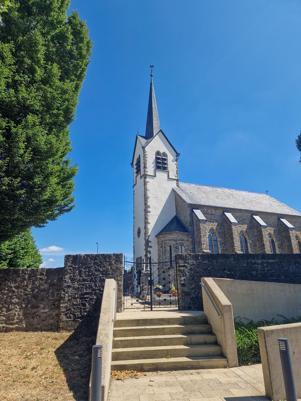
The circular hiking trail through the Kuebendällchen nature reserve begins at the Elvange Church, which was built in 1858 in the neo-Gothic style. The Rue du Bois then leads into the beautifully located high path, with agricultural land on the left and individual vineyards on the right. An impressive view of the Perler Höhe (Germany) and the Moselle valley completes the charming panorama. After passing a forested area where the Maus-Ketti fitness trail is laid out, you reach Kuebendällchen, where the vineyards have once again given way to dry grassland. After a brief view of the picturesque winemaking village of Wellenstein, the return path runs through the forest area a Lamert. Here you can admire newly created secondary biotopes as well as remnants of an ancient hollow way (Hiehl).

Kuebendällchen: Various types of vegetation provide habitat for a rich flora and fauna including protected orchid species. In addition, more than 70 bird species and many rare butterfly species are native here.

Similar hiking tours

©Ville de Dudelange, Ville de Dudelange
Circular routes
Local hiking trail Dudelange - "Buerfousswee"
Distance: 0,64 km
Duration: 0:10 h
Difficulty: easy
Find out more
©Pancake!
Circular routes
Nature walk Natura 2000 - Boucle A: « L’homme et la forêt » – 5 km
Distance: 5,51 km
Duration: 1:30 h
Difficulty: easy
Find out more
©KuFa
Circular routes
Nature walk Natura 2000 - Boucle C: "La succession végétale sur un ancien territoire minier" – 2,5 km
Distance: 2,68 km
Duration: 0:45 h
Difficulty: easy
Find out more
©ORT SUD
Circular routes
Local hiking trail Esch: Sentier Norbert Theis Trail – 7km
Distance: 7,98 km
Duration: 2:15 h
Difficulty: easy
Find out more
©Visit Éislek
Circular routes
Auto-Pédestre Tadler hiking trail
Distance: 4,57 km
Duration: 1:30 h
Difficulty: easy
Find out more
©Dan Castiglia, Visit Éislek
Circular routes
Auto-Pédestre Hiking Trail Bürden
Distance: 4,62 km
Duration: 1:25 h
Difficulty: easy
Find out more
©Visit Luxembourg
Thematic paths
Honeybee educational trail between Waldbillig and Christnach
Distance: 4,00 km
Duration: 1:30 h
Difficulty: easy
Find out more
©Visit Luxembourg
Thematic paths
Kuebendällchen educational trail
Distance: 5,55 km
Duration: 1:35 h
Difficulty: easy
Find out more
©Visit Éislek, Visit Éislek
Circular routes
Local hiking trail TA 1 - Bastendorf
Distance: 5,56 km
Duration: 1:35 h
Difficulty: easy
Find out more
outdooractive This website uses technology and content from the Outdooractive Platform.