

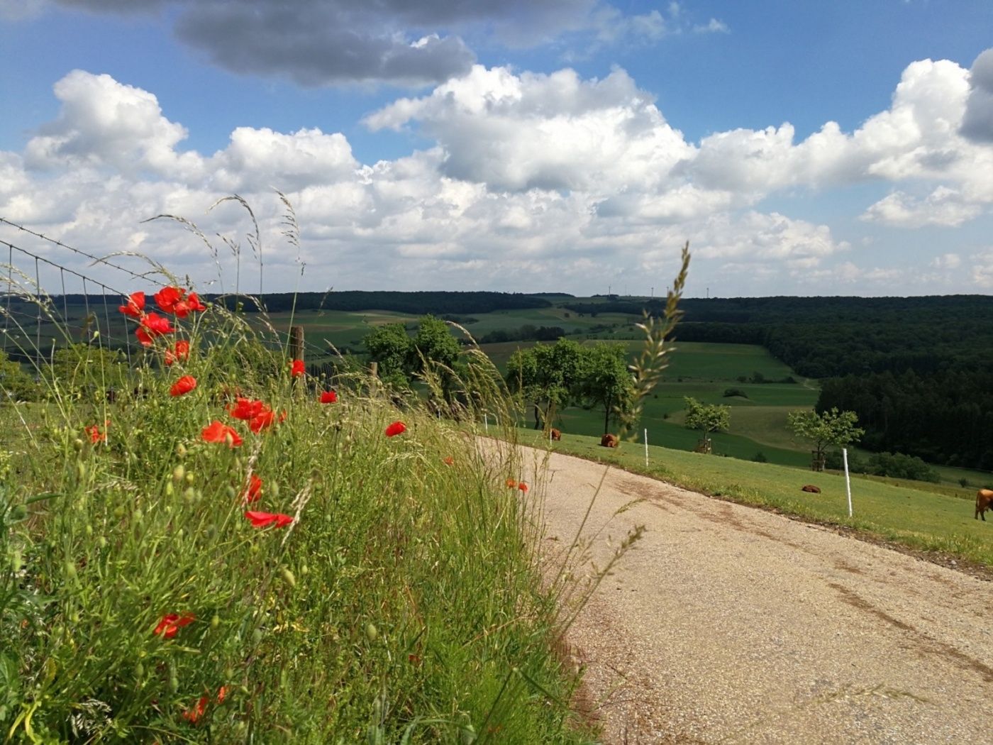
Description
The hiking trail takes you to four points in Osweiler and the surrounding area where the memory of the Second World War is kept alive.
The local hiking trail R9 was inaugurated on May 1, 2014 in Osweiler. The reason for creating the trail was 70 years of liberation of a large part of Luxembourg, 70 years of military actions in the east and north of Luxembourg, 70 years of evacuation of the border towns, and 70 years since the Rundstedt Offensive, from December 16, 1944, to February 1945.
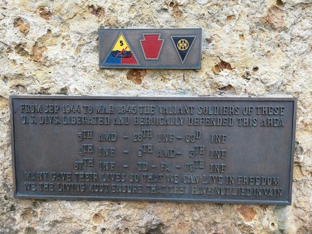
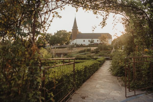
In autumn 1944, Luxembourg was almost completely liberated from Nazi troops. However, when the advance of the Allied forces stopped at the Westwall, Osweiler suddenly found itself again at the front line of war. The hiking trail passes four points in Osweiler and nearby where the memory of the Second World War is kept alive: a plaque at the school building honoring the American soldiers who were able to repel the Rundstedt Offensive in the Osweiler – Dickweiler area; the "um Schänkebierg" memorial for the American soldiers who liberated Osweiler on September 13, 1944; a monument in the "Grussebësch" forest for people who had to be evacuated from the villages along the war front in 1944; and a commemorative relief in the church for the 10 men from Osweiler who died in the war (died in Kazett, fallen at the Eastern Front, or died in Russian captivity as a result of forced conscription into the Wehrmacht).
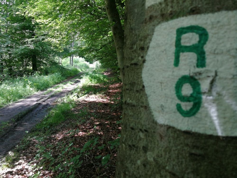
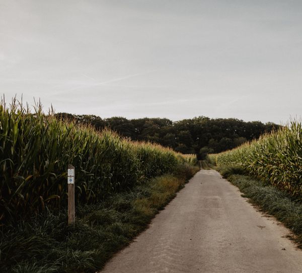
Signposting

Equipment
Sturdy footwear and something to drink.
Journey
Nearest bus stop: Osweiler, Haaptstroos (50m)
Parking:
Few parking possibilities.


 This website uses technology and content from the Outdooractive Platform.